Excavation Layout Surveys in the Sea to Sky
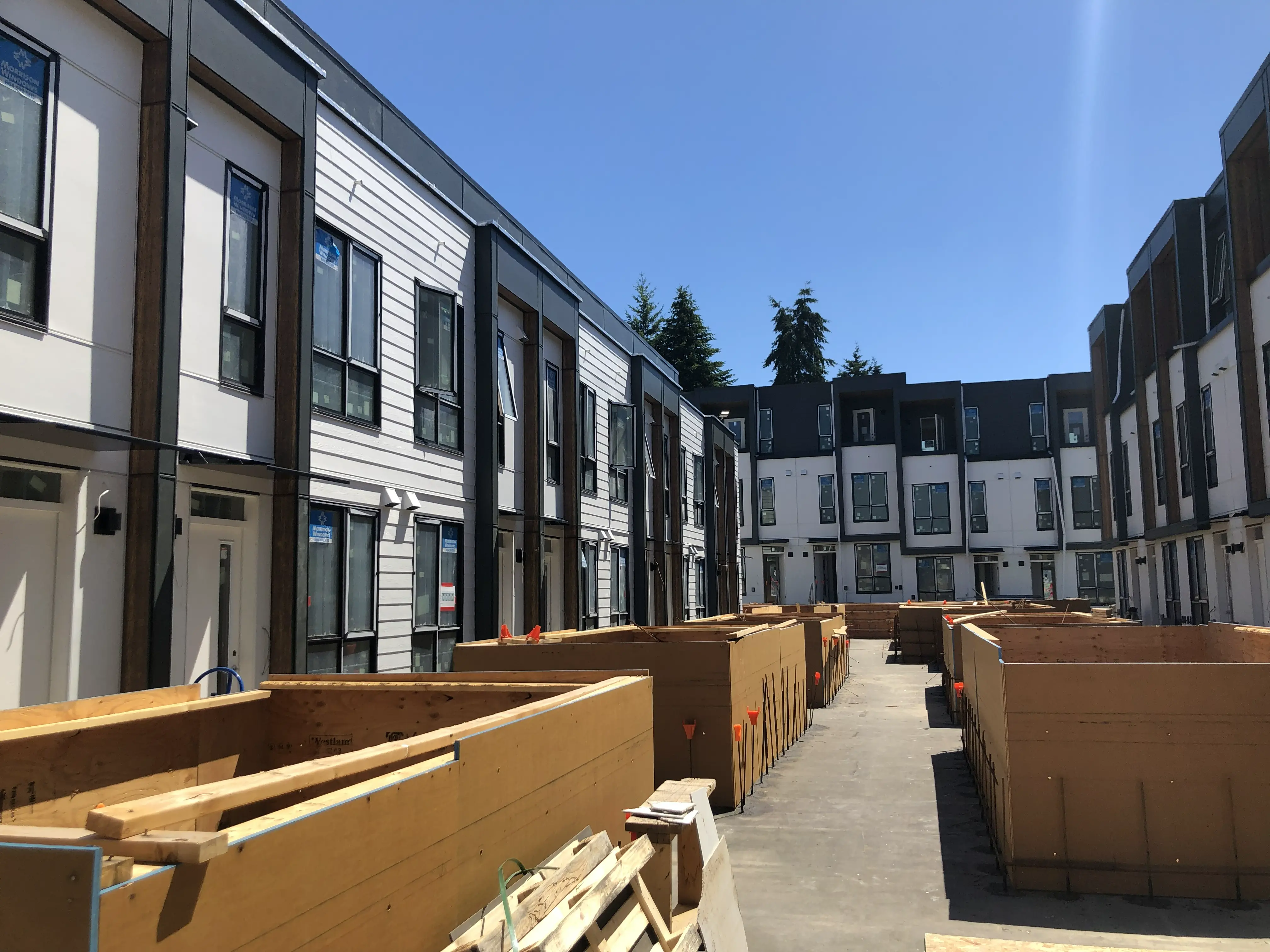
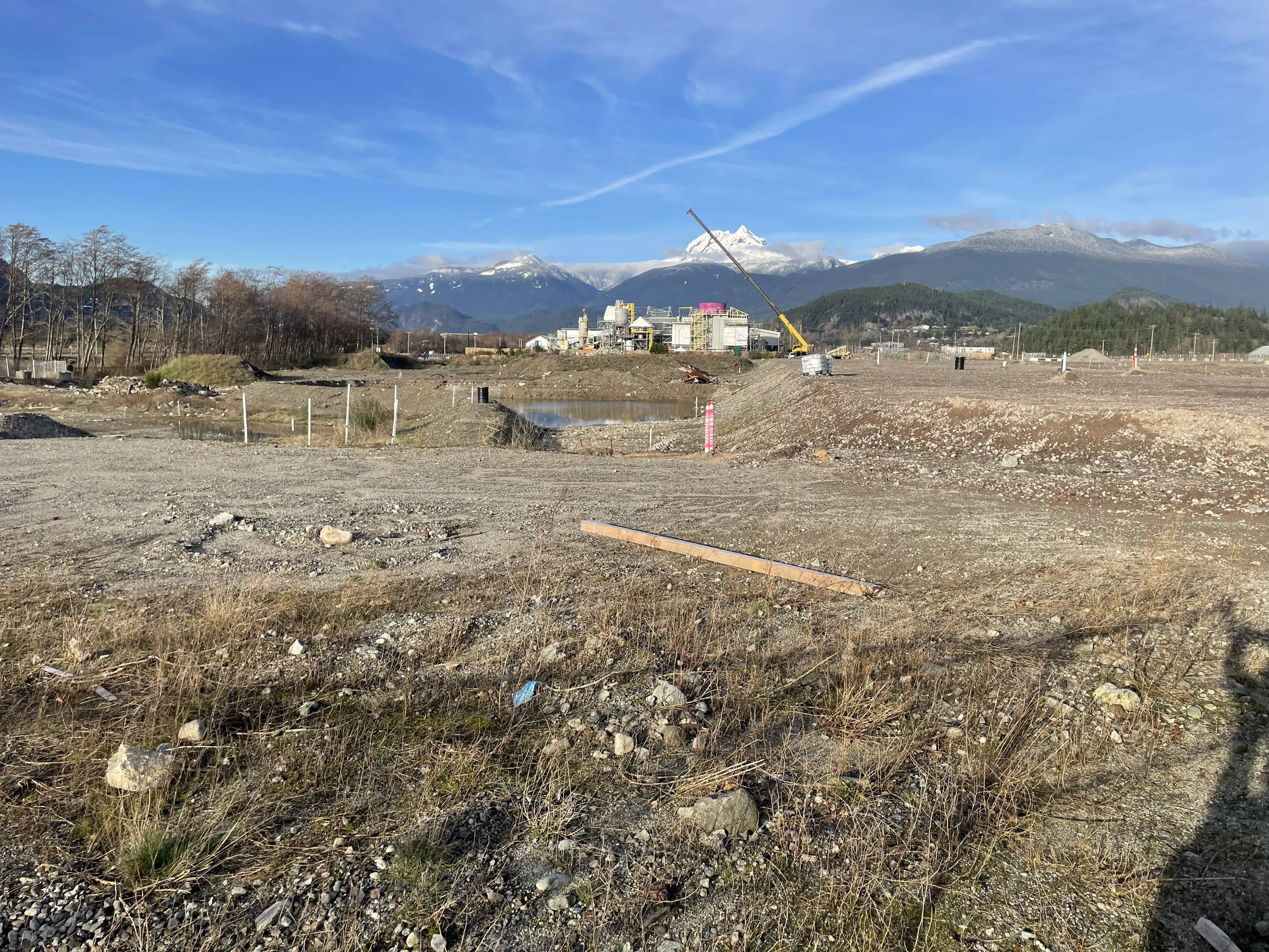
Professional Excavation Layout Surveys in the Sea to Sky, marking dig limits, shoring alignments, and precise vertical benchmarks to guide heavy site machine operators safely.
Before a single meter of earth is moved or a foundation is poured in the Sea to Sky, accurately positioning your new improvement is a necessity. Construction layouts and the establishment of site benchmarks form the critical infrastructure that drives the success of your entire development, yet they are widely recognized as the single greatest source of liability in the land surveying profession. In British Columbia, determining the location of any natural or artificial feature, such as an excavation limit, foundation, or gridline, relative to a legal property boundary for the purpose of certifying it in writing is exclusively defined as the "practice of land surveying" under the Land Surveyors Act. Relying on unlicensed contractors to lay out your multi-million dollar excavation exposes your project to significant risks, including boundary encroachments, failed municipal inspections, and costly structural redesigns.
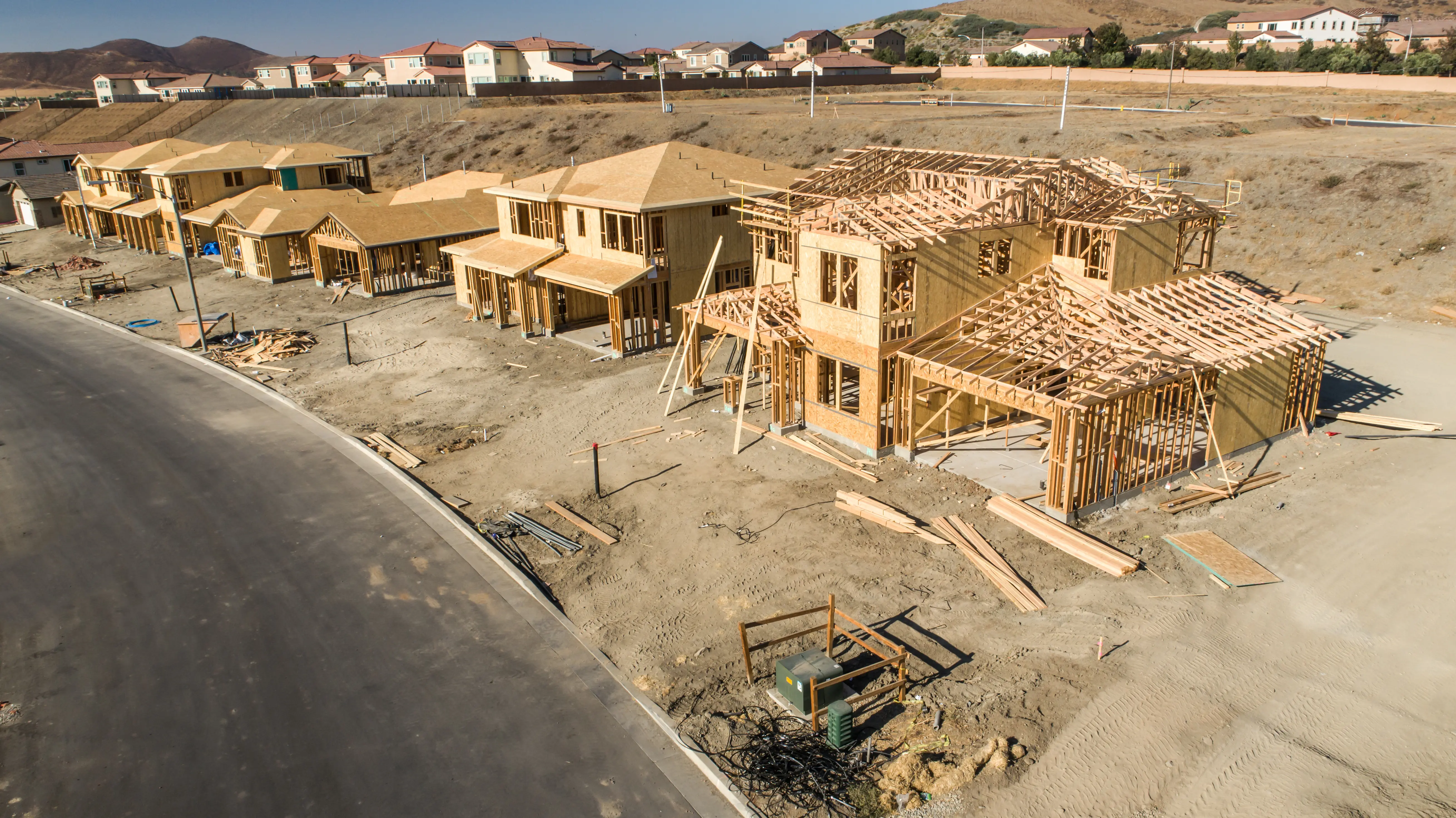
Tantalus Geomatics Land Surveying delivers the professional land surveying and geomatics engineering required to translate your architectural and engineering designs into physical reality on the ground. Before any layout commences, our professionals establish permanent, recoverable local site benchmarks outside the immediate construction zone to ensure they survive the heavy machinery and earth-moving phases. To guarantee absolute vertical precision, we derive elevations from ties to two independent benchmarks and strictly avoid unstable structures like utility poles. Safety and statutory compliance dictate our presence on your site in the Sea to Sky. We strictly adhere to WorkSafeBC standards and require that all safety certificates and underground utility locates (such as BC 1 Call) are reviewed.
Why Choose Tantalus Geomatics?
Our team combines local Sea to Sky expertise with state-of-the-art surveying technology. We deliver highly accurate, BCLS-certified plans that streamline your municipal permit approvals and protect your property investments.
Other Construction Surveys
Our Excavation Layout Surveys Process in the Sea to Sky
How do we ensure accuracy and efficiency in our land surveying projects?
Research
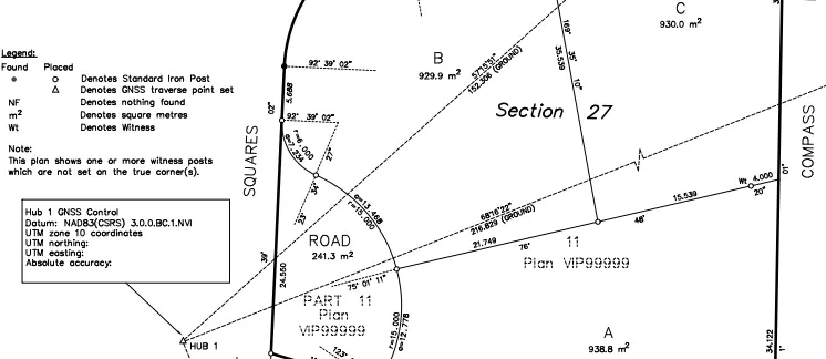
The BCLS acquires the complete set of architectural and engineering drawings explicitly marked "Approved for Construction" or "Issued for Construction" prior to commencing any calculations. We review these documents to identify and resolve any discrepancies, plan misclosures, or ambiguities. We also conduct extensive research through the Land Title and Survey Authority of British Columbia (LTSA) to confirm the parent parcel boundaries, and we coordinate with the project manager to identify all underground services and buried facilities located through BC 1 Call.
Field Work
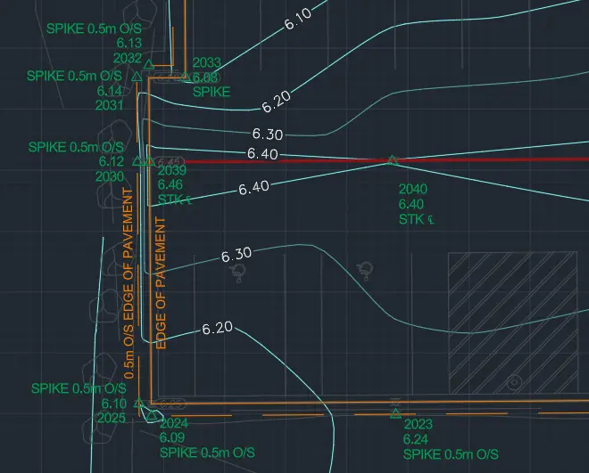
Our survey crews first locate and confirm that sufficient legal survey monuments are in place to ensure the excavation conforms to all pertinent regulations. Since conducting a boundary-sensitive construction layout on an unposted property incurs severe liability, we often recommend formally posting the boundaries first. The density of existing infrastructure and the extent/complexity of the excavation directly impact the scope of field work and the time required to complete the survey. Utilizing our Robotic Total Stations, we establish secure horizontal and vertical control points, setting temporary reference points (offset stakes) that the contractor will use to guide the excavation and formwork.
Plan Preparation
Our technologists translate the precise 3D field data into a formal, non-statutory Sketch of Layout for Construction. The sketch explicitly notes the "Approved for Construction" drawings used to derive the dimensions, describes the site benchmarks established, details the vertical datums utilized, and serves as an authoritative record for your municipal building inspectors and structural engineers.
What professional documents and markers do you receive upon project completion?
Certified PDF Plans
A digitally signed and sealed BCLS Sketch of Layout for Construction, explicitly detailing the points set, offsets, and site benchmarks.
Property Corner Monumentation and Layout Stakes
Physical installation of robust reference points, offset hubs, and local site benchmarks to guide your excavation and construction contractors.
Topographic 3D CAD Files
CAD Drawing (DWG/DXF) depicting the exact layout points, property lines, and site topography for integration by your design team.
Point Clouds and Orthoimages
Dense 3D Terrestrial LiDAR scan data and high-resolution aerial imagery providing a complete digital twin of the pre-construction and excavated site conditions.
Frequently Asked Questions
Get answers to common questions about our land surveying services.
Local Resources for the Sea to Sky
Where can you find official topographic and permit checklists for the Sea to Sky?
Service Gallery
Field photos, survey plans, and technical captures from our projects.