Block Outline Surveys in the Sea to Sky
Professional Block Outline Surveys in the Sea to Sky, establishing high-precision legal control networks to raise title before you build.
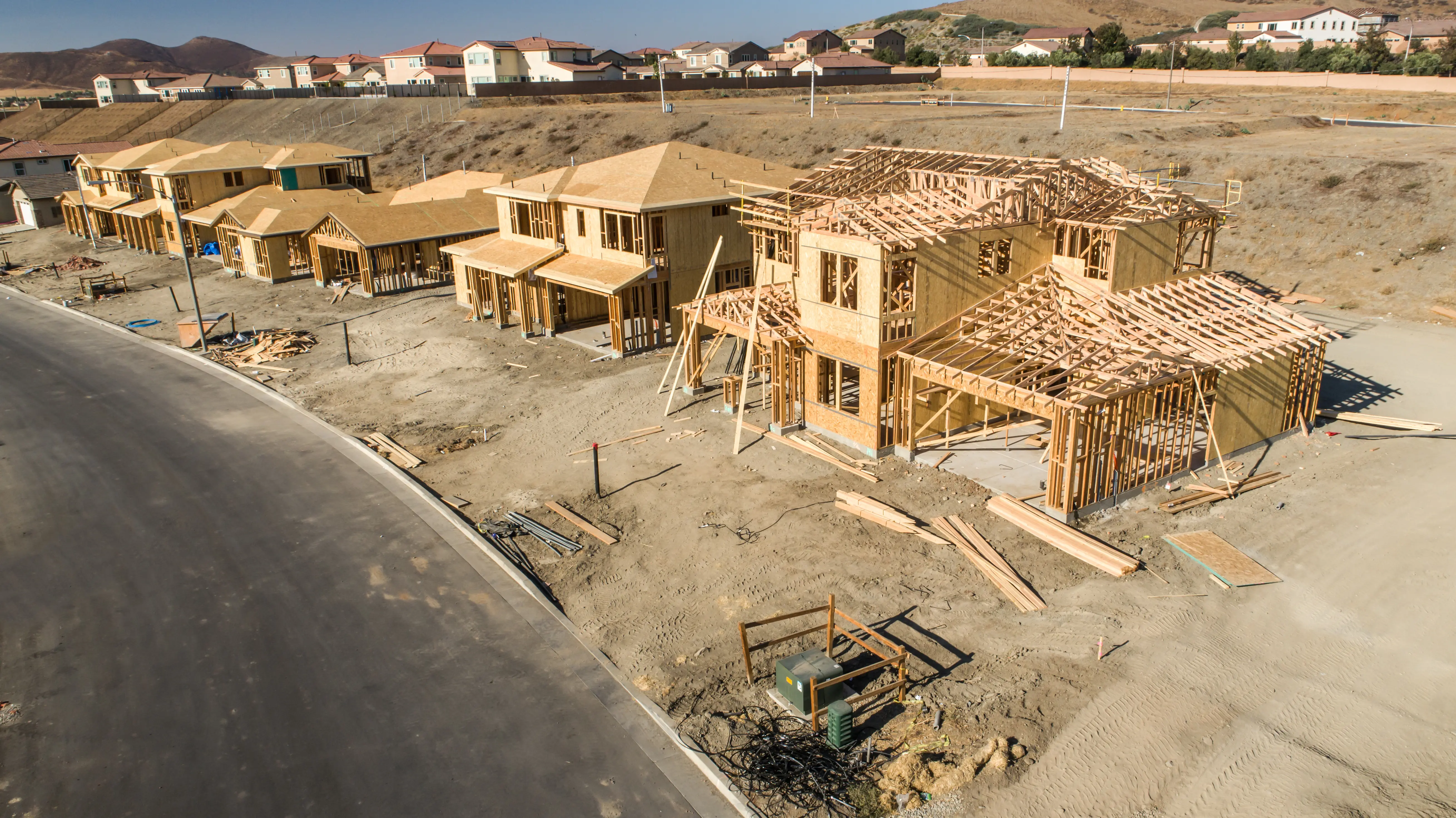
When undertaking major subdivisions, infrastructure corridors, or expansive developments in the Sea to Sky, construction involving heavy machinery, deep excavations, site grading, and utility installation poses a massive threat to the newly placed survey monuments. To mitigate the destruction of the legal survey fabric and avoid the costly replacement of destroyed property corners, developers can leverage a highly strategic and specialized mechanism known as a block outline survey. Governed by Section 69 of the Land Title Act, this method of deferred monumentation allows a British Columbia Land Surveyor (BCLS) to establish secure control monuments before construction begins, and officially post the final property boundaries only after the heavy construction activities are entirely completed.
A block outline survey is strictly regulated by the Association of British Columbia Land Surveyors (ABCLS) Survey and Plan Rules and requires formal, prior approval from the Surveyor General.
Why Choose Tantalus Geomatics?
Our team combines local Sea to Sky expertise with state-of-the-art surveying technology. We deliver highly accurate, BCLS-certified plans that streamline your municipal permit approvals and protect your property investments.
Other Construction Surveys
Our Block Outline Surveys Process in the Sea to Sky
How do we ensure accuracy and efficiency in our land surveying projects?
Research
The BCLS retrieves historical plans, original field notes, and active title records from the Land Title and Survey Authority of British Columbia (LTSA). During this phase, the BCLS evaluates the parent parcel boundaries and prepares a formal application to the Surveyor General seeking permission to utilize the block outline method and explain how the control network will survive construction activities to provide a reference network for the final posting.
Field Work
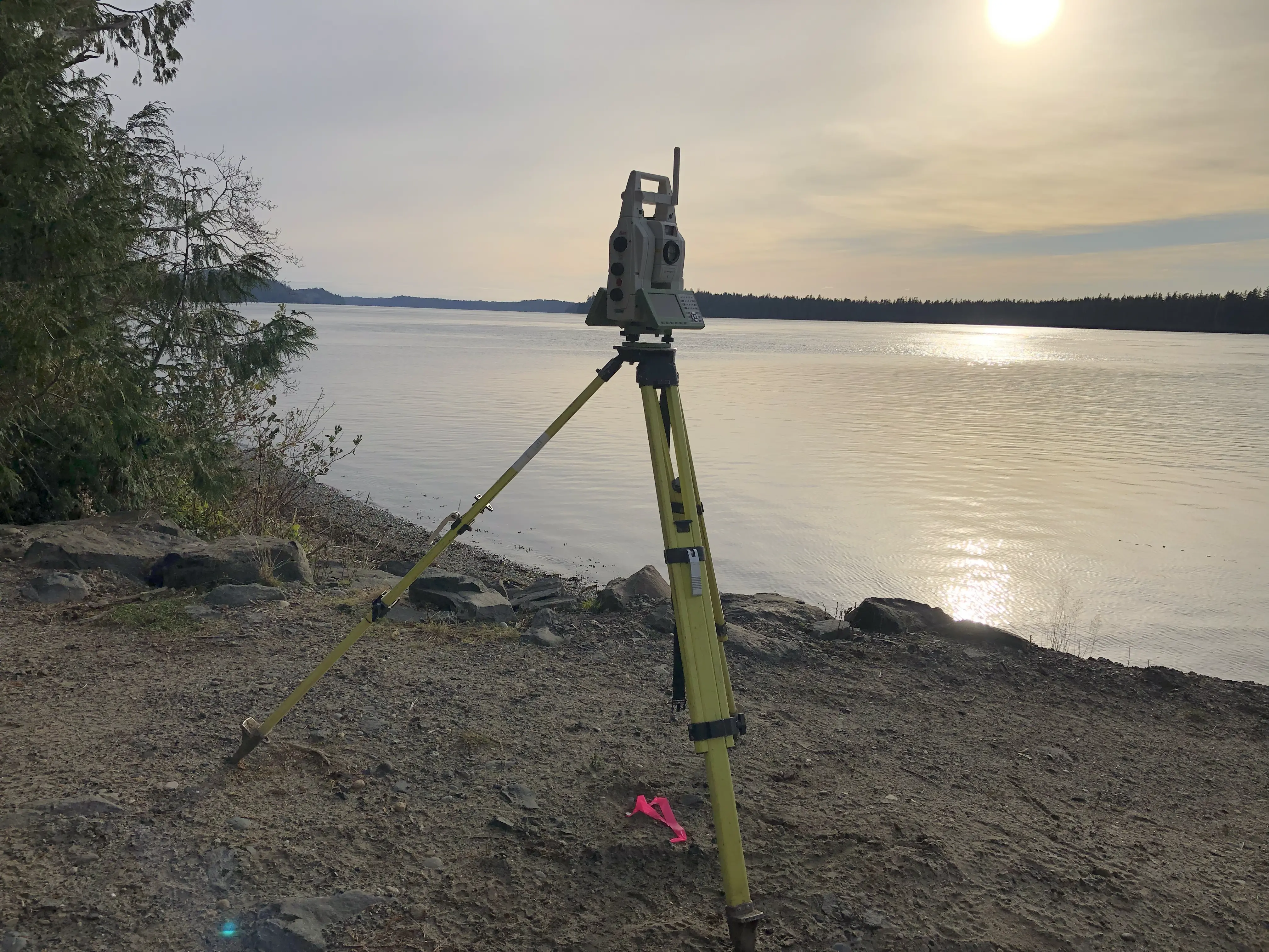
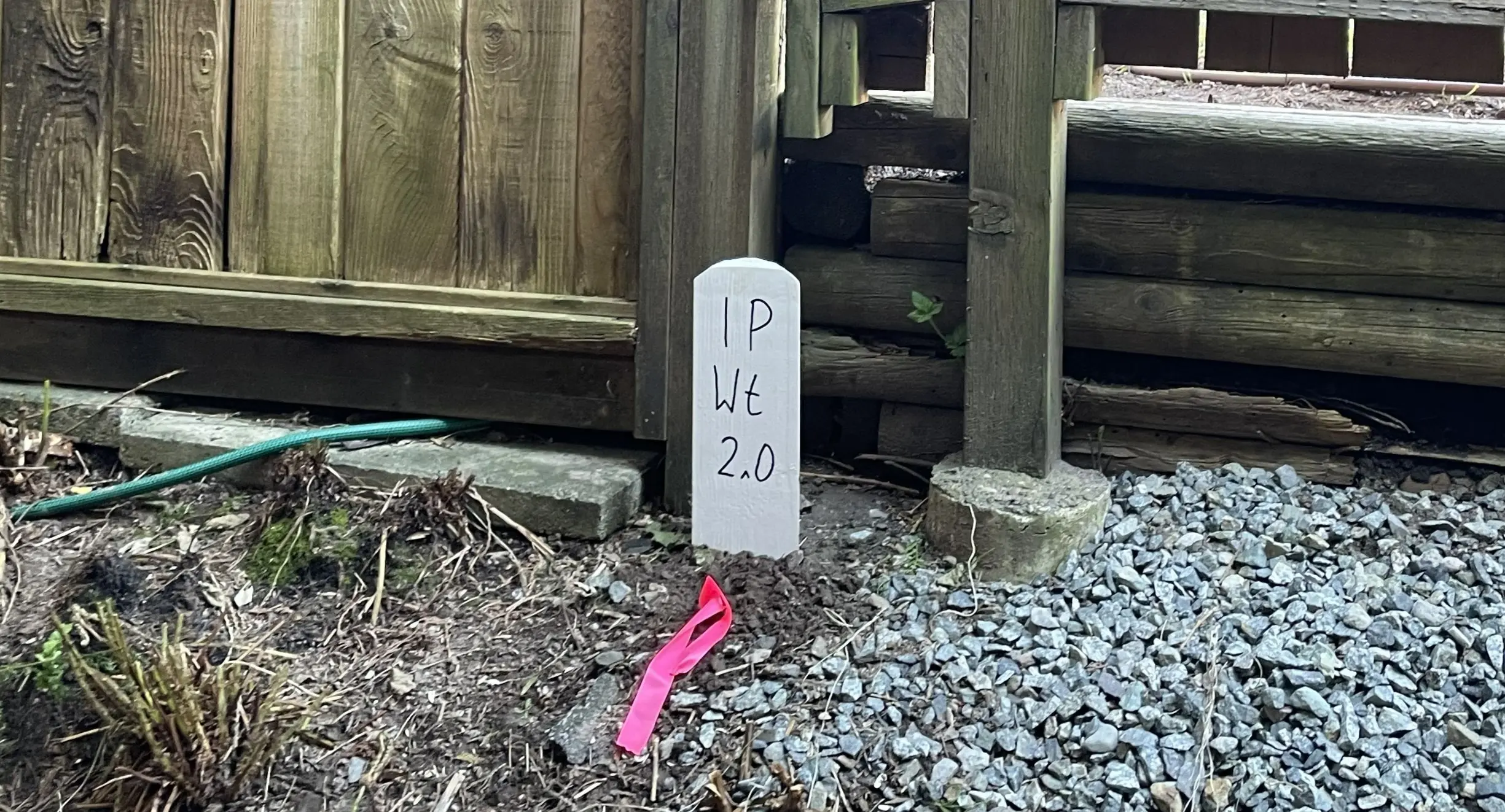
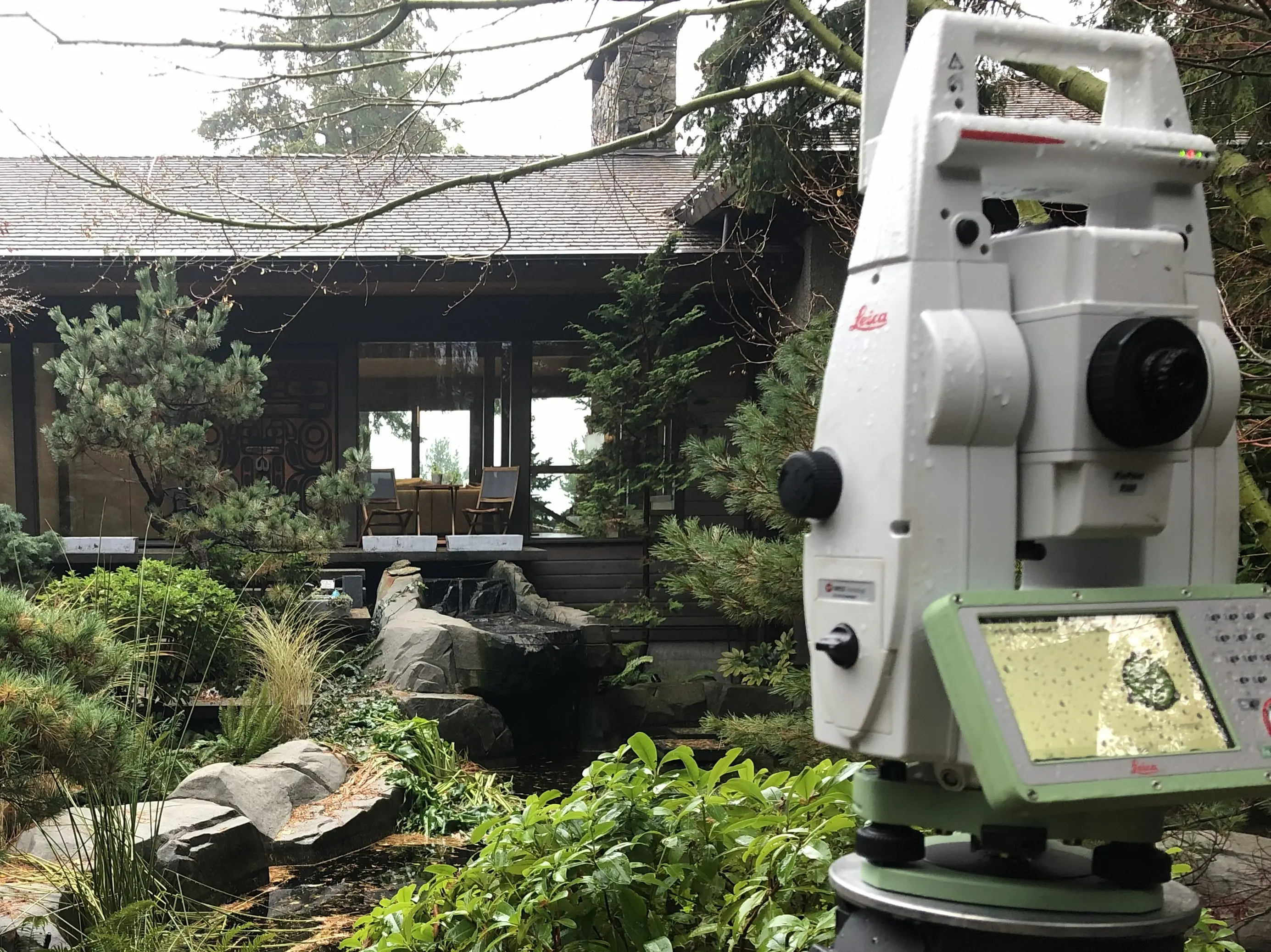
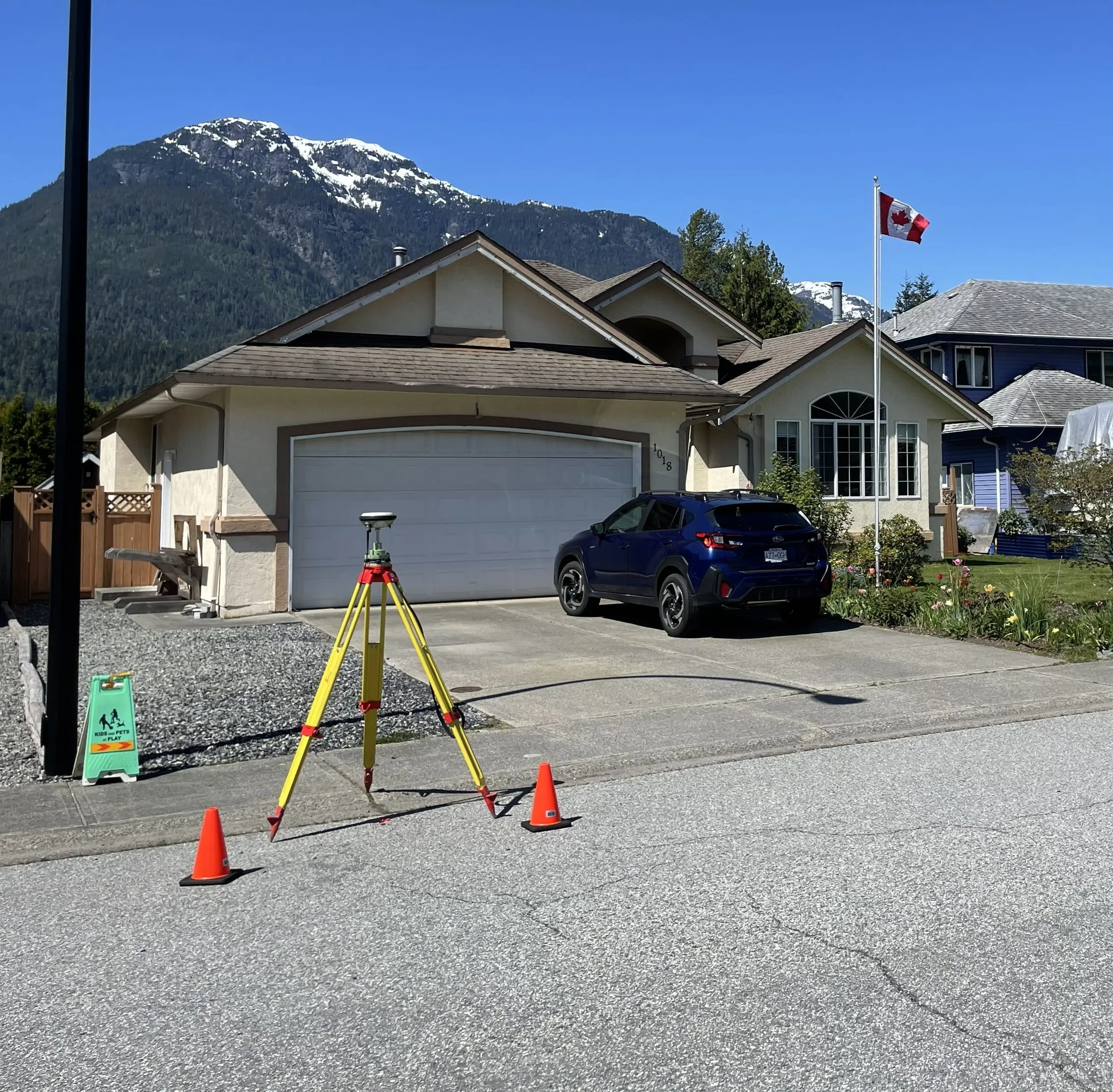
The field work for a block outline survey is uniquely executed in two distinct phases, which directly impacts the project's timeline and scope. Initially, our crews establish secure Type 1 or Type 2 control monuments in locations safe from construction disturbances. Once the heavy equipment has finished site grading and utility installation, our survey crews return to the site. Relying on the mathematical relationship established by the initial control network, we physically drive standard iron posts into the earth to mark the true, final property corners.
Plan Preparation
First, the block outline plan (such as a subdivision or reference plan) is prepared, which explicitly shows the mathematical relationship of the lands being surveyed to the control monuments. This plan is approved by the Surveyor General and registered at the Land Title and Survey Authority. After the final field posting is complete, the BCLS electronically certifies a "Posting Plan," depicting the property corner posts placed during the final survey. This must be filed before the time limit imposed by the Surveyor General expires (typically one year).
What professional documents and markers do you receive upon project completion?
Certified Legal Plans
Digitally certified PDF Block Outline Plans (Subdivision or Reference) to facilitate initial registration, followed by the final statutory Block Outline Posting Plan.
Control and Property Monumentation
Securely placed Type 1 or Type 2 control monuments set prior to construction, followed by the physical installation of standard iron posts at all final parcel corners.
Topographic 3D CAD Files
CAD Drawings (DWG/DXF) mapping the control network, boundaries, and site topography for integration by your civil engineers and architects.
Point Clouds and Orthoimages
Dense 3D Terrestrial LiDAR scan data and high-resolution aerial drone imagery providing a complete digital twin of the project site.
Frequently Asked Questions
Get answers to common questions about our land surveying services.
Local Resources for the Sea to Sky
Where can you find official topographic and permit checklists for the Sea to Sky?
Service Gallery
Field photos, survey plans, and technical captures from our projects.