3D Settlement Monitoring in the Sea to Sky
Professional 3D Settlement Monitoring in the Sea to Sky, deploying millimeter-accurate monitoring networks to track structural shifts, shoring deflections, and ground movements throughout construction.
In the Sea to Sky, 3D settlement monitoring is required to track structural stability, deep excavations, and adjacent properties. 3D settlement monitoring surveys are processes designed to identify and track the minute movement of construction elements over time, including slope stability, ground settlement, and structural deformation. Engaging Tantalus Geomatics Land Surveying ensures your monitoring program possesses the geomatics expertise required to support your project.
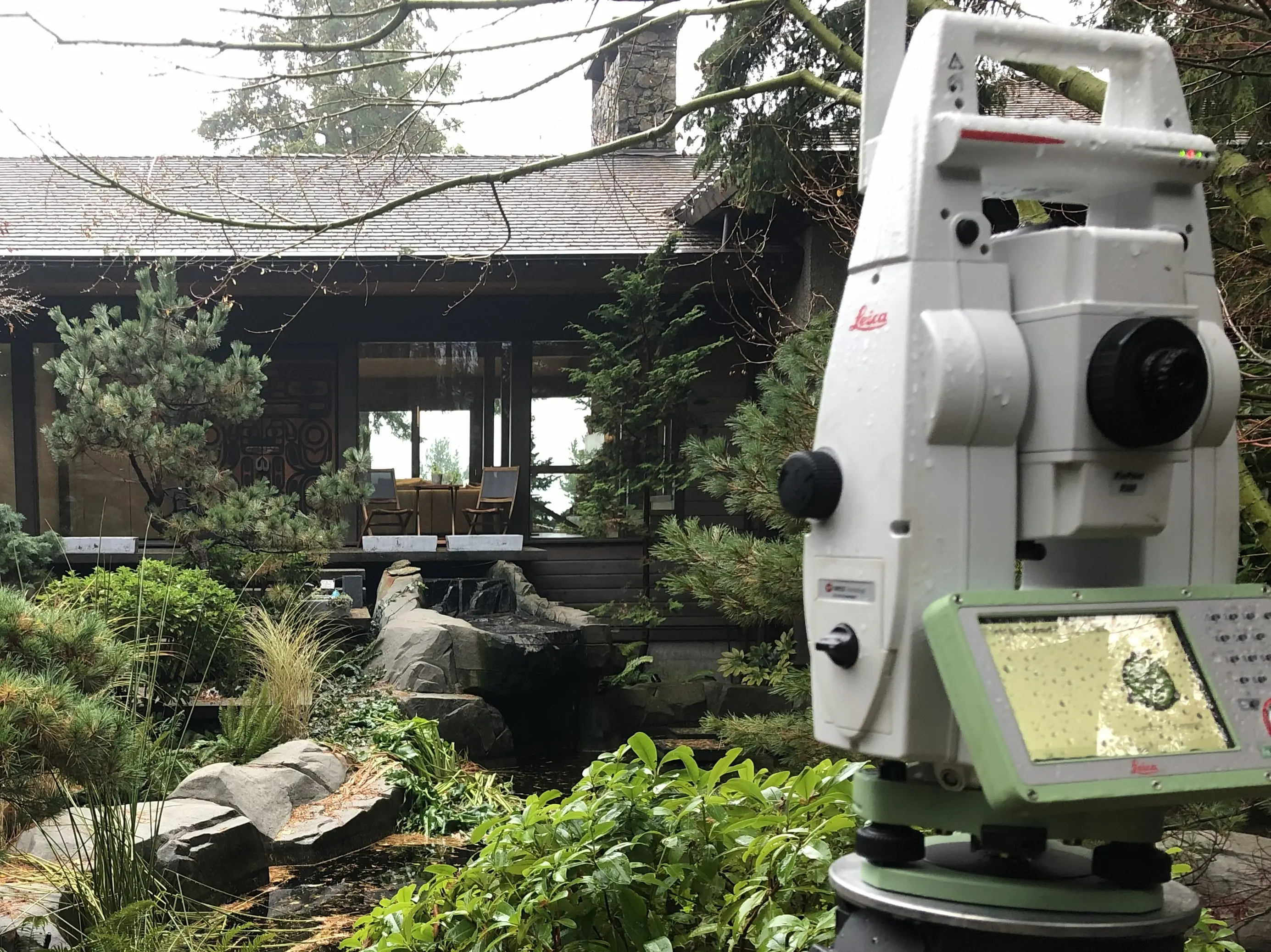
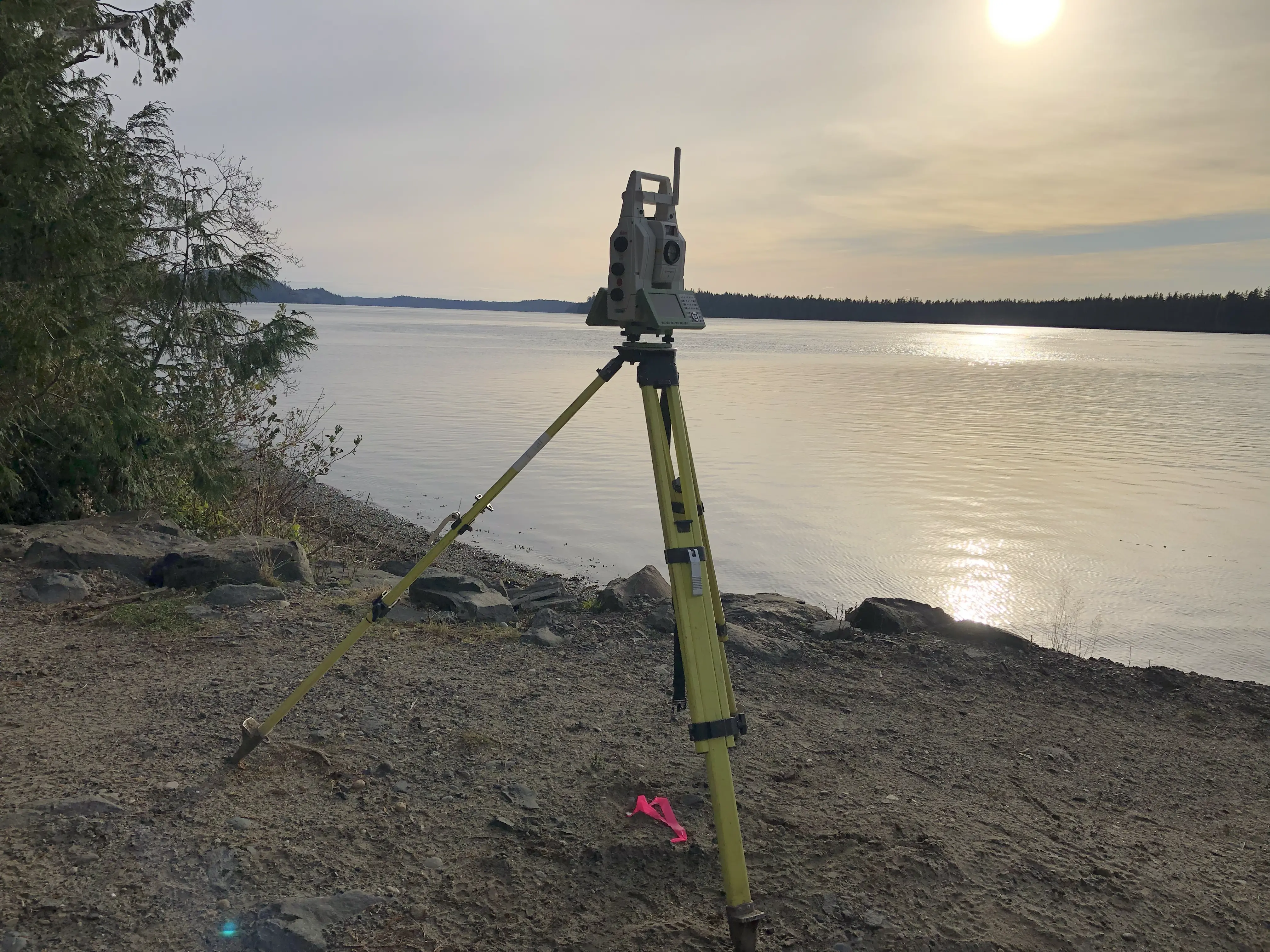
Monitoring surveys involve collecting the measurements required to calculate the exact differences between one set of monitoring data and the next. Since the foundation of any monitoring program is the accuracy and stability of its control network, our survey crews deploy high-precision Robotic Total Stations to establish accurate control around the site. When structural monitoring is required, we utilize Terrestrial 3D Laser Scanning to capture high-density point clouds of the as-built conditions. This is useful when monitoring rockfaces, complex structures, and inaccessible terrain. Unmanned Aerial Systems (UAS) equipped with Aerial Drone LiDAR and photogrammetry can also be deployed to model expansive slopes and terrain changes over time.
Why Choose Tantalus Geomatics?
Our team combines local Sea to Sky expertise with state-of-the-art surveying technology. We deliver highly accurate, BCLS-certified plans that streamline your municipal permit approvals and protect your property investments.
Other Construction Surveys
Our 3D Settlement Monitoring Process in the Sea to Sky
How do we ensure accuracy and efficiency in our land surveying projects?
Research:
Preparing a monitoring program involves studying the proposed designs, liaison with other professionals and pre-planning. The BCLS accesses the Sea to Sky Geographic Information System (GIS) to identify where control points can be established. We review the proposed design and work with your engineering team to determine the necessary survey equipment, tolerances, and the required frequency of measurements.
Field Work:
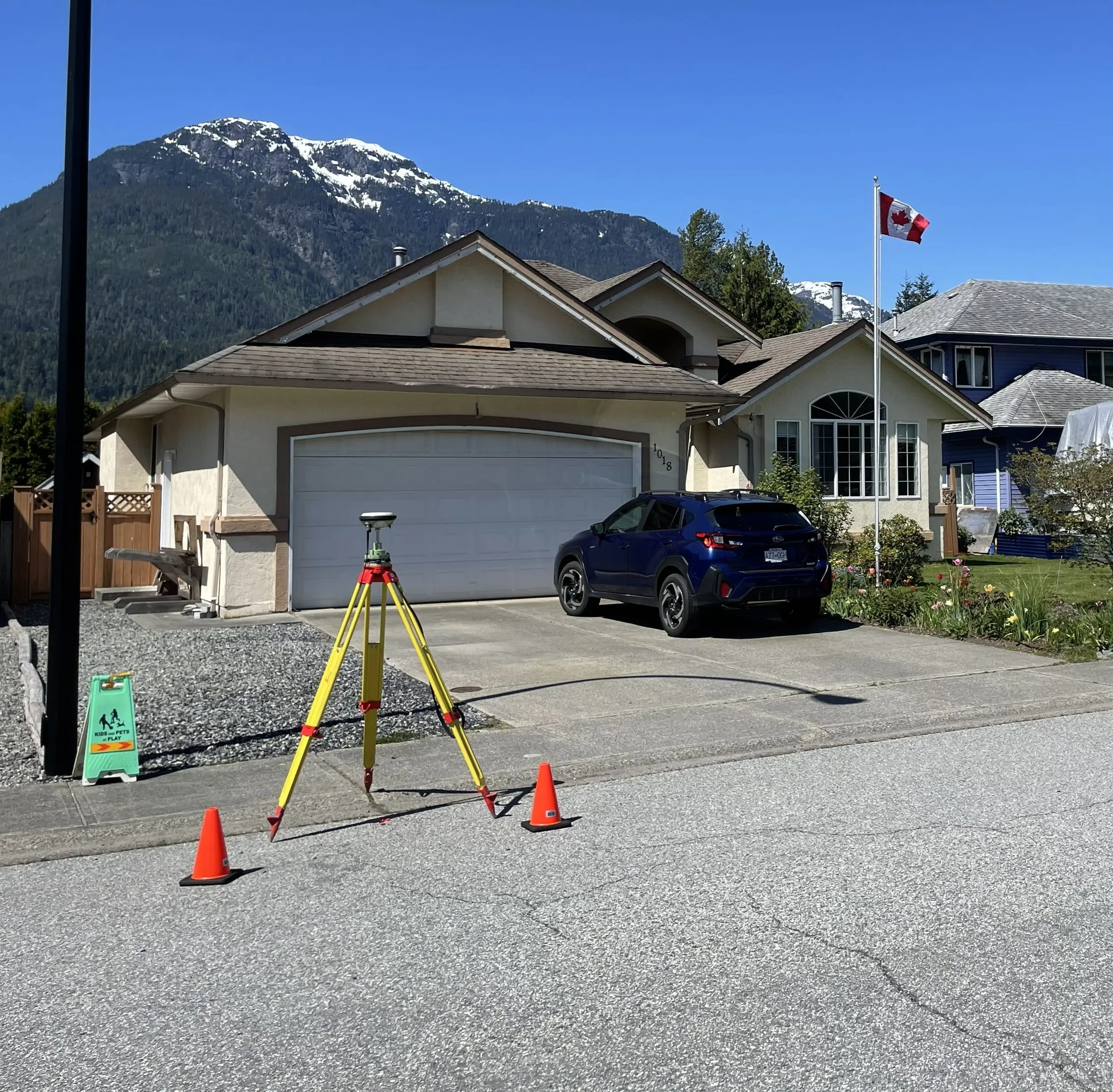
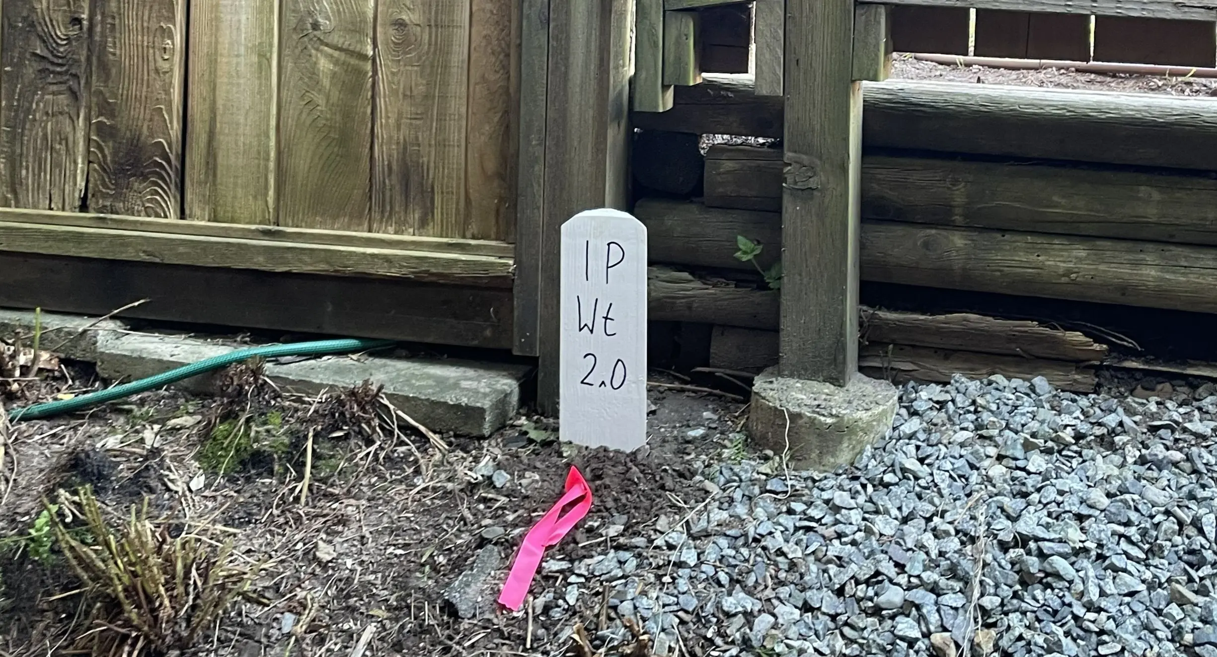
Our survey crews establish the primary control network and install the physical monitoring points. The scope of field work and the time required to complete the survey are influenced by the frequency of the monitoring schedule, the line of sight across the construction zone, and the ruggedness of the terrain. Our surveys involve instrument calibration, precise monitoring methods, and redundancy in measurements to identify and understand any sources of error.
Plan Preparation:
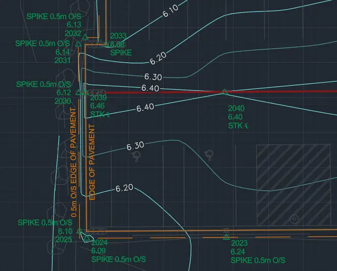
Back in the office, our technicians translate the precise 3D field data into reporting. The BCLS analyzes the results and prepares a report in a spreadsheet, showing monitoring point coordinates over time or a deformation model showing the differences between two surfaces.
What professional documents and markers do you receive upon project completion?
Certified PDF Plans
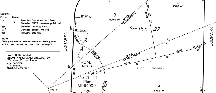
Digitally certified plans depicting the precise locations of monitoring points and the magnitude of any detected change.
Monitoring Reports
Reports consisting of spreadsheets and graphs showing the precise settlement or lateral movement over time for each monitoring point.
Topographic 3D CAD Files
CAD drawings (DWG/DXF) containing site control network, monitoring targets, and site topography for integration by your geotechnical engineers.
Point Clouds and Orthoimages
Dense 3D Terrestrial LiDAR scan data and high-resolution aerial drone imagery providing a complete, digital model of the monitored structure or slope.
Frequently Asked Questions
Get answers to common questions about our land surveying services.
Local Resources for the Sea to Sky
Where can you find official topographic and permit checklists for the Sea to Sky?
Service Gallery
Field photos, survey plans, and technical captures from our projects.