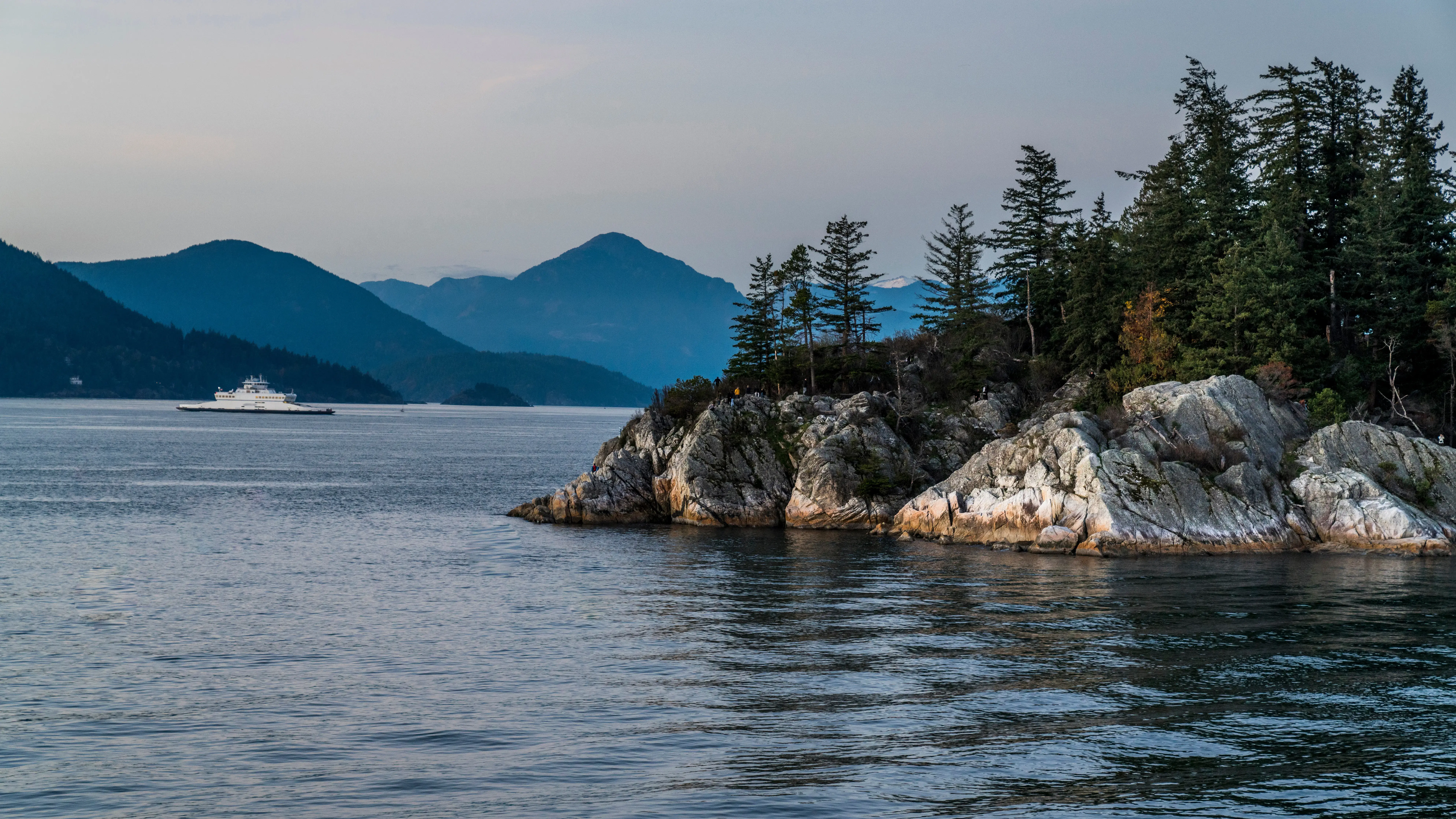
Land Act Surveys in the Sea to Sky
Professional Land Act Surveys in the Sea to Sky, legal surveys for Crown land tenures, roads, resource boundaries, or provincial property transfers.
Acquiring Crown land, securing major resource tenures, or establishing public infrastructure in the Sea to Sky requires navigating the complexities of the Land Act. A Land Act survey is a specialized process used to create, define, or alter the boundaries of provincial Crown land, typically culminating in the issuance of a Crown grant, a lease, a license of occupation, or the establishment of a public road. Tantalus Geomatics Land Surveying delivers the professional services required to legally define these Crown parcels and secure your tenure rights.
Land Act surveys are regulated by Part 8 of the Association of British Columbia Land Surveyors (ABCLS) Survey and Plan Rules and the rigid Directions to Land Surveyors issued by the Surveyor General. Our professionals expertly manage this complex administrative process, ensuring your project seamlessly aligns with the Province's land use plans, Indigenous consultation requirements, and overlapping resource tenures.
Why Choose Tantalus Geomatics?
Our team combines local Sea to Sky expertise with state-of-the-art surveying technology. We deliver highly accurate, BCLS-certified plans that streamline your municipal permit approvals and protect your property investments.
Our Land Act Surveys Process in the Sea to Sky
How do we ensure accuracy and efficiency in our land surveying projects?
Research
The BCLS researches records held by the Land Title and Survey Authority of British Columbia (LTSA), accessing the Surveyor General's Vault, original Crown grants, Crown grant tracings, and historical field notes. Critically, the BCLS must formally apply to the Surveyor General, providing all documentation from the Crown ministry authorizing the survey, to obtain specific survey instructions and a unique parcel designation before mobilizing to the field.
Field Work
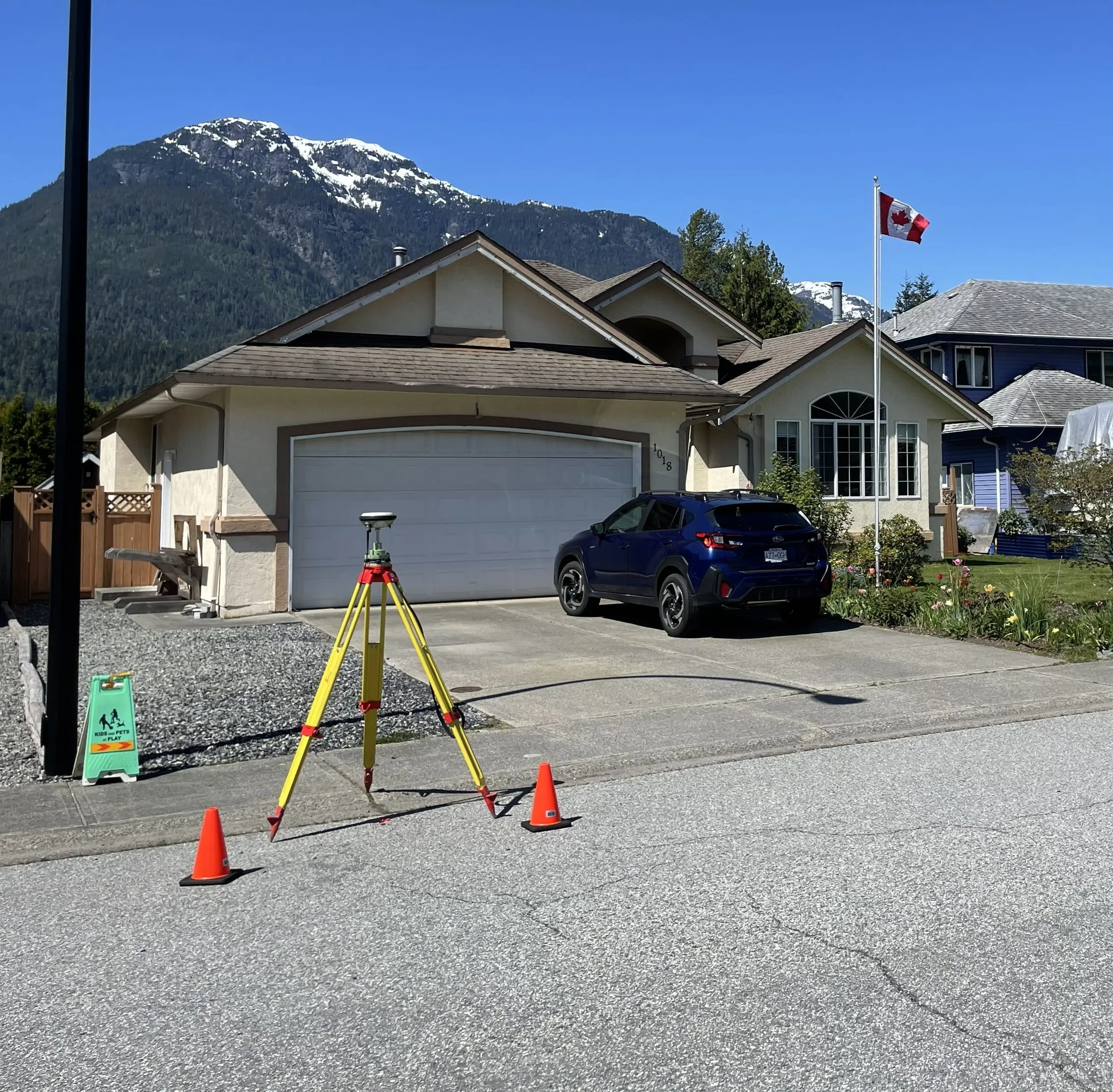
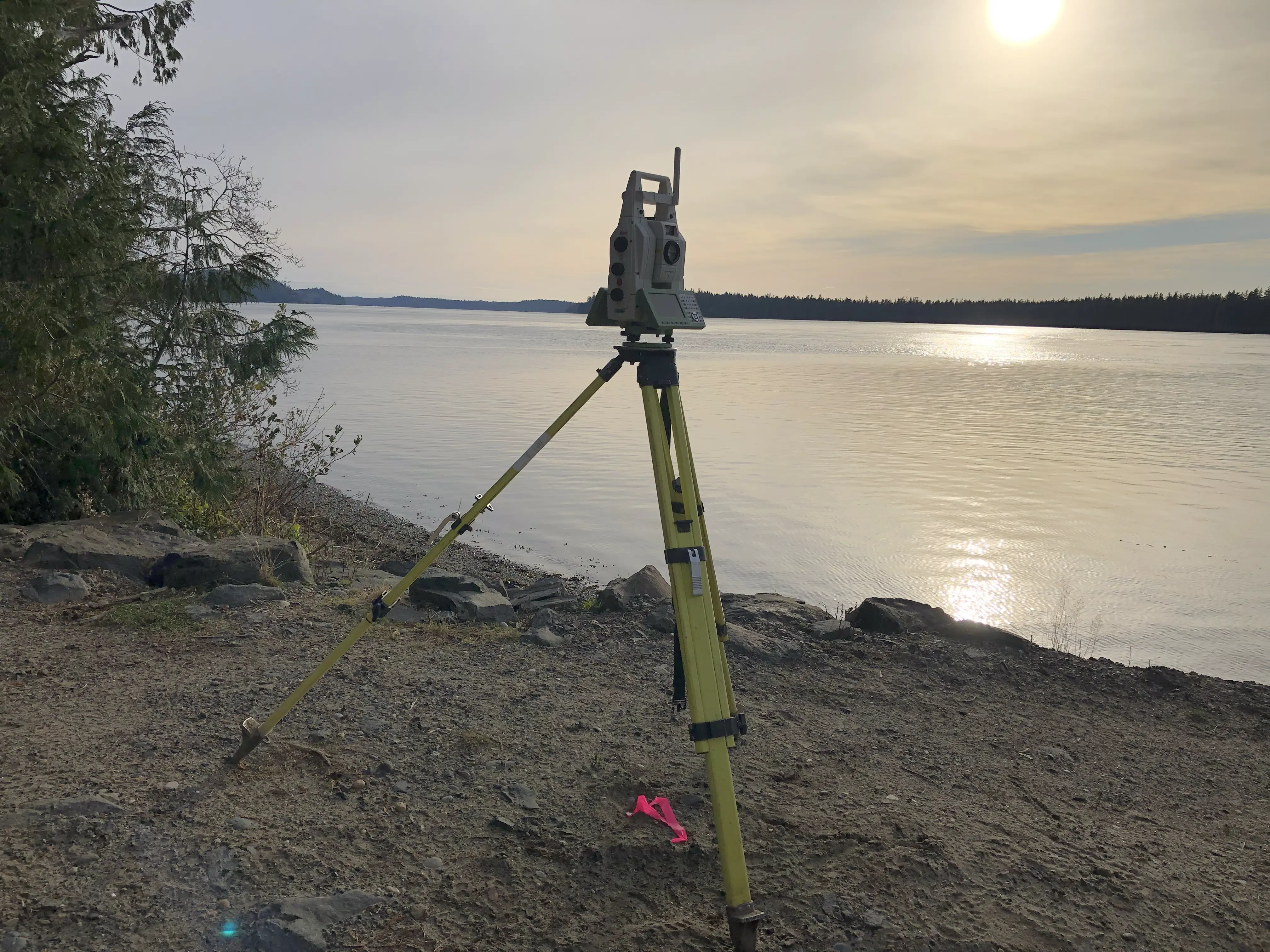
Once the Surveyor General issues instructions, our crews mobilize to the site. The ruggedness of the terrain, the density of the vegetation, and the remoteness of the site directly impact the scope of field work and the time required to complete the survey in the Sea to Sky. We measure physical boundary evidence and place durable standard iron posts. To ensure the new boundaries are identifiable to the public, boundary lines of district lots or blocks are marked either by setting boundary marker posts at intervals of approximately 100 metres and blazing the line, or by cutting and clearing the boundary line of debris to a width of one metre and blazing the adjacent trees.
Plan Preparation
Our technologists translate the precise 3D field data into a highly regulated statutory plan. Land Act plans must feature specific titles (e.g., "Survey Plan of District Lot...") and contain mandatory summary tables of the areas surveyed. As your certifying professional, reviews and certifies the plan, in addition to certifying the Survey Plan Submission to Surveyor General form. The complete package is submitted to the Surveyor General through the LTSA’s SurveyHub for examination. Upon confirmation by the Surveyor General, the plan is officially filed in the Crown Land Registry.
What professional documents and markers do you receive upon project completion?
Certified Legal Plans
Digitally certified PDF Land Act Survey Plans, fully compliant with LTSA and Surveyor General standards, ready for confirmation and filing in the Crown Land Registry.
Property Corner Monumentation
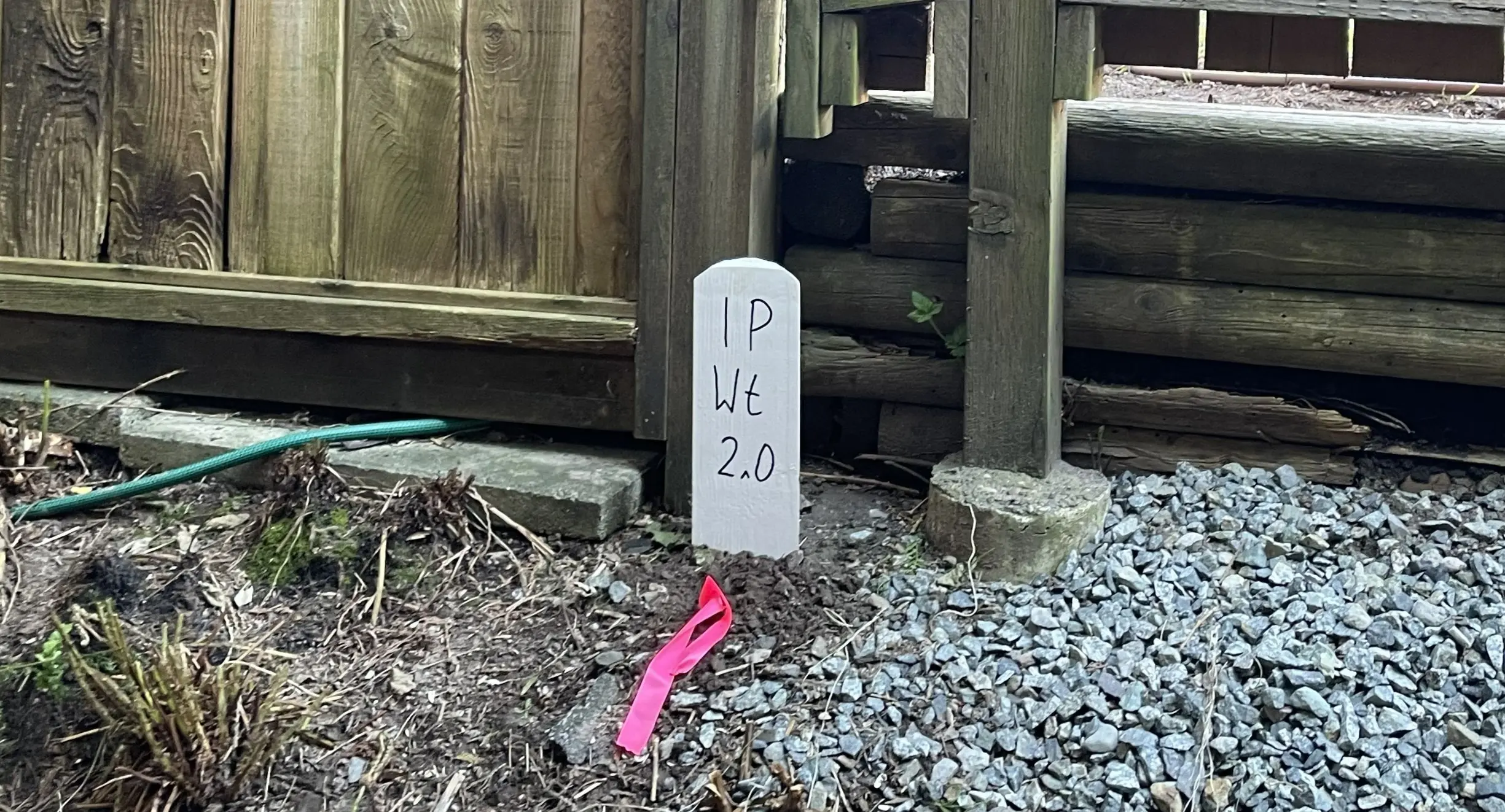
Permanent Legal Monuments securely set, along with boundary marker posts and blazed lines, to physically mark the extent of the affected Crown lands.
Topographic 3D CAD Files
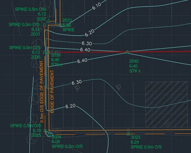
CAD drawing (DWG/DXF) depicting the Crown land boundaries, natural features, and site topography for integration by your engineers and resource planners.
Frequently Asked Questions
Get answers to common questions about our land surveying services.
Local Resources for the Sea to Sky
Where can you find official topographic and permit checklists for the Sea to Sky?
Service Gallery
Field photos, survey plans, and technical captures from our projects.