Covenant Surveys in the Sea to Sky
Professional Covenant Surveys in the Sea to Sky, defining protected areas, environmental limits, or development constraints required to register restrictive covenants on land titles.
When undertaking major subdivisions, commercial developments, or environmental conservation projects in the Sea to Sky, navigating the complexities of land use restrictions is critical to your success. A covenant is a legal instrument that can strictly prohibit or restrict the subdivision of land, the use of land, and the construction of buildings, or it can mandate that a specified natural, historical, or environmental amenity be protected, preserved, and maintained. These covenants are typically registered in favour of the Crown, a municipality, a regional district, or a specifically designated person or organization.
Tantalus Geomatics Land Surveying specializes in the creation and spatial definition of a covenant. Our professional team expertly navigates overlapping legislative frameworks at various levels of government. For example, an approving officer may require an owner to enter into a covenant under Section 219 as a mandatory condition for approving a subdivision plan, however if your land is situated within the Agricultural Land Reserve, any covenant that restricts or prohibits the use of agricultural land for farm purposes has no legal effect until it is formally approved by the Provincial Agricultural Land Commission.
Why Choose Tantalus Geomatics?
Our team combines local Sea to Sky expertise with state-of-the-art surveying technology. We deliver highly accurate, BCLS-certified plans that streamline your municipal permit approvals and protect your property investments.
Our Covenant Surveys Process in the Sea to Sky
How do we ensure accuracy and efficiency in our land surveying projects?
Research
The BCLS accesses the Land Title and Survey Authority of British Columbia (LTSA) to retrieve the current Certificates of Title, historical subdivision plans, and existing charge documents. We review all existing encumbrances, easements, and rights of way to ensure the proposed covenant does not conflict with any existing property rights. Additionally, the BCLS determines whether the covenant will require a physical survey resulting in a reference plan, or if it can be created via an explanatory plan, both under Section 99(1)(e) of the Land Title Act.
Field Work
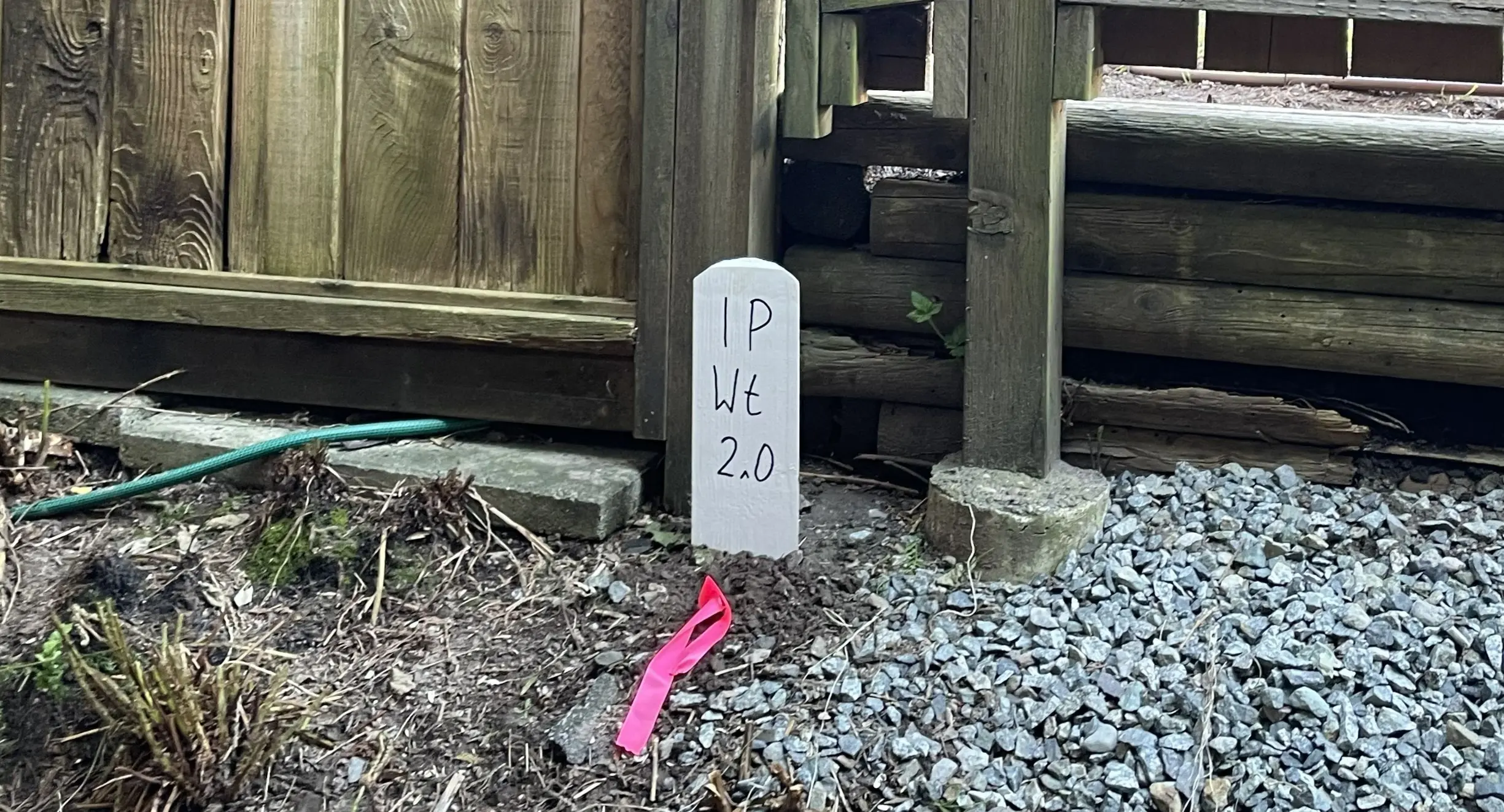
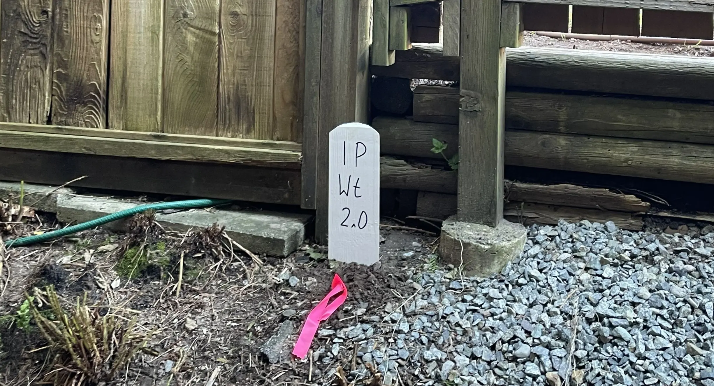
If a reference plan is required, a field survey is also required. Before new covenant boundaries can be established, the exterior limits of the parent parcel must be rigorously re-established on the ground, where our survey crews conduct a physical search to recover enough original survey monuments to accurately determine the original boundaries. The ruggedness of the terrain, the density of the vegetation, and the age of the original survey directly impact the scope of the field work and the time required to complete the survey. Next, the field crew places iron posts at the corners of the new covenant.
Plan Preparation
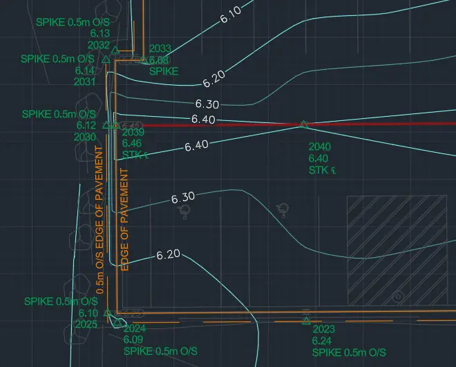
Our technologists translate the field data into a Reference Plan or prepare an Explanatory Plan based on an existing Land Title record, depending on the requirements of the Land Title Office. The boundaries of covenant are shown in relation to the existing parcel. The BCLS review and certifies the plan, which is provided to your legal team to complete the registration with the LTSA and officially register the charge against your title.
What professional documents and markers do you receive upon project completion?
Certified Legal Plans
Digitally certified PDF Reference Plans or Explanatory Plans, fully compliant with LTSA standards, ready for deposit in the Land Title Register to secure the covenant.
Property Corner Monumentation
Standard iron posts, lead plugs, or rock posts securely set in the ground to permanently mark the boundaries and intersections of the covenant area.
Topographic 3D CAD Files
CAD drawings (DWG/DXF) depicting the covenant boundaries and site topography for integration by your architects and civil engineers.
Frequently Asked Questions
Get answers to common questions about our land surveying services.
Local Resources for the Sea to Sky
Where can you find official topographic and permit checklists for the Sea to Sky?
Service Gallery
Field photos, survey plans, and technical captures from our projects.