Consolidation Surveys in the Sea to Sky
Professional Consolidation Surveys in the Sea to Sky, combining multiple adjacent parcels into a single unified parcel to maximize municipal zoning advantages and site footprints.
When preparing for a major commercial development, assembling a multi-phase residential site, or simply seeking to unify your property holdings in the Sea to Sky, consolidating multiple adjoining parcels into a single legal title is a highly strategic maneuver. A consolidation survey legally dissolves the internal boundary lines between contiguous lots, creating a single, unified parcel that maximizes your buildable footprint, simplifies your property tax assessments, and provides a clean canvas for your architectural and engineering teams. Tantalus Geomatics Land Surveying delivers the professional services required to execute your land consolidation.
The process of consolidating land is strictly governed by the Land Title Act and the Land Surveys Act. Under Section 100(1)(b) of the Land Title Act, the Registrar of Land Titles may accept a Reference Plan or an Explanatory Plan to create a new parcel by consolidating adjoining surveyed parcels. Because defining or altering legal property boundaries is defined as the "practice of land surveying," only a commissioned member of the Association of British Columbia Land Surveyors (ABCLS) has the exclusive statutory authority to prepare and certify these plans. Relying on our licensed professionals guarantees that your consolidation is executed in strict compliance with the ABCLS Survey and Plan Rules and provincial legislation.
Why Choose Tantalus Geomatics?
Our team combines local Sea to Sky expertise with state-of-the-art surveying technology. We deliver highly accurate, BCLS-certified plans that streamline your municipal permit approvals and protect your property investments.
Our Consolidation Surveys Process in the Sea to Sky
How do we ensure accuracy and efficiency in our land surveying projects?
Research
The BCLS investigates the historical chain of title, gathering original Crown grants, field notes, and historic subdivision plans from the Land Title and Survey Authority of British Columbia (LTSA). We review all registered encumbrances such as statutory rights of way, easements, and restrictive covenants, to determine how they affect the adjoining parcels. This systematic research phase ensures that any underlying boundary discrepancies are identified and resolved before the lots are consolidated.
Field Work
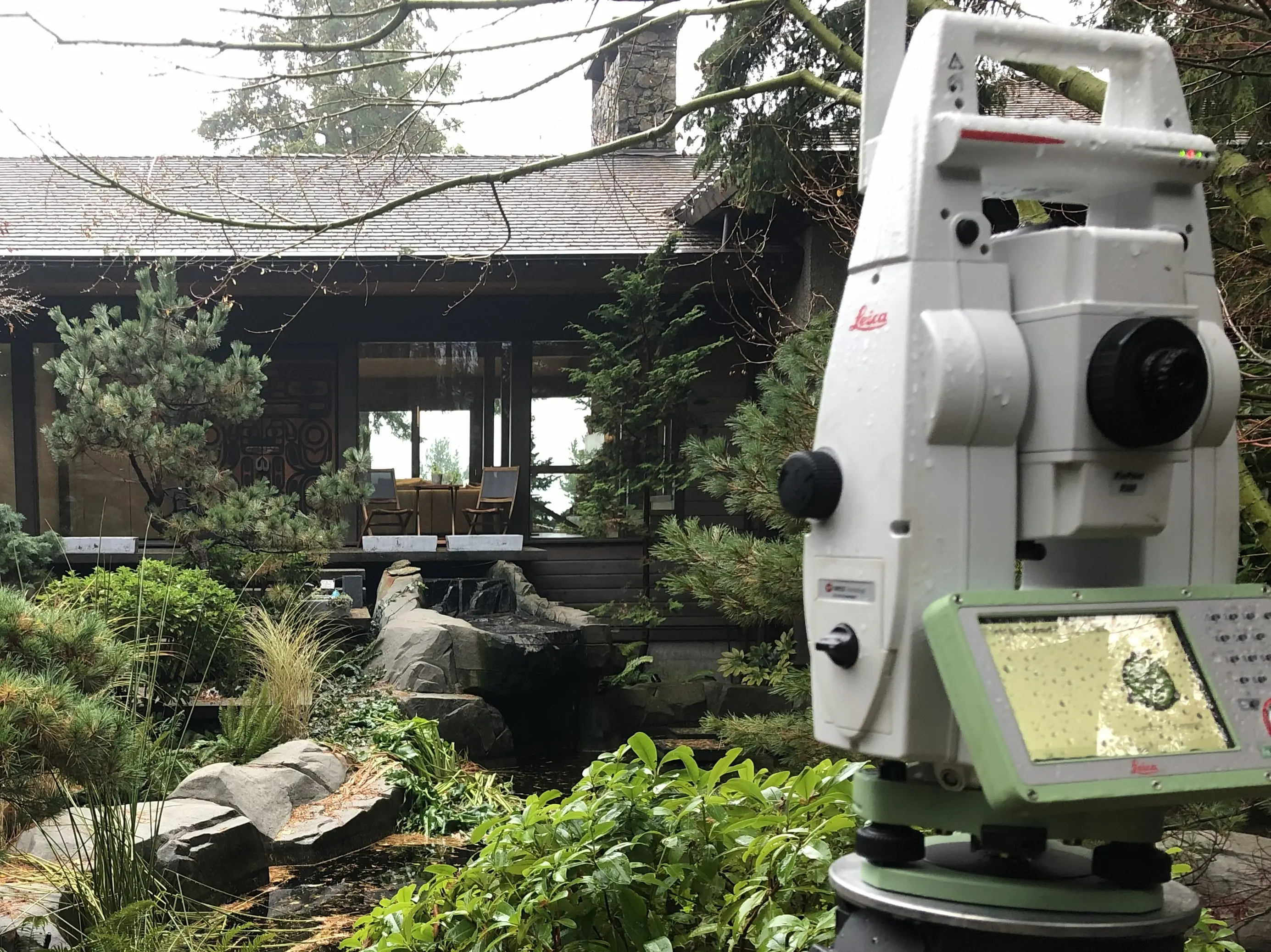
Our field crews conduct an thorough search to recover original survey monuments, such as standard iron posts or lead plugs, to re-establish the exterior perimeter of the parcel to be consolidated. The scope of this field work and the time to completion can be impacted by the age of the original surveys, the density of vegetation, and whether original monuments have been destroyed by previous construction. Once the physical evidence is captured, the BCLS applies the common law "Hierarchy of Evidence" to re-establish the original boundaries.
Plan Preparation
Our technologists prepare the formal Reference Plan for Consolidation under Section 100(1)(b) of the Land Title Act. The BCLS reviews and certifies the Plan, and works with your legal team to register the consolidation at the LTSA.
What professional documents and markers do you receive upon project completion?
Certified Legal Plans
Digitally certified PDF Reference Plans or Explanatory Plans, fully compliant with LTSA standards and ready for legal deposit to create your new consolidated title.
Topographic 3D CAD Files
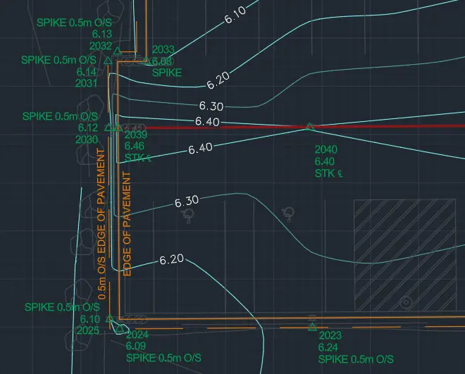
CAD Drawing (DWG/DXF) combining boundary data with site topography for use by your architects and civil engineers.
Point Clouds and Orthoimages
Dense 3D laser scan data and high-resolution aerial imagery providing a complete digital twin of your newly consolidated project site.
Property Corner Monumentation
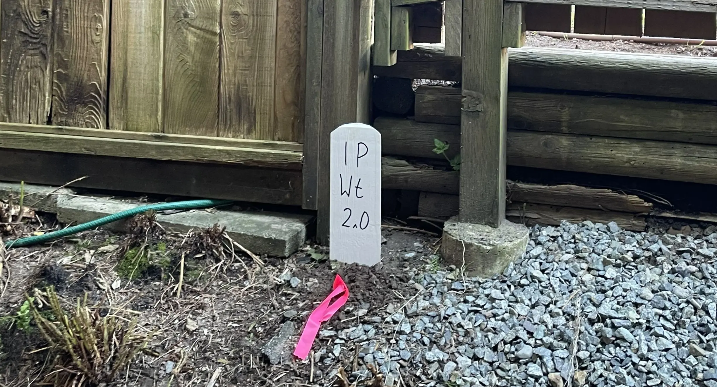
Standard iron posts, lead plugs, or rock posts securely set in the ground to permanently mark the exterior corners of your consolidated parcel.
Frequently Asked Questions
Get answers to common questions about our land surveying services.
Local Resources for the Sea to Sky
Where can you find official topographic and permit checklists for the Sea to Sky?
Service Gallery
Field photos, survey plans, and technical captures from our projects.