Air Space Subdivision Surveys in the Sea to Sky
Professional Air Space Subdivision Surveys in the Sea to Sky, defining independent three-dimensional volumetric parcels for complex multi-use developments, rights allocations, and shared infrastructure ownership.
Developing complex, multi-use buildings and intricate infrastructure in the Sea to Sky often demands separating the ownership of volumetric spaces without the creation of a strata corporation. An Air Space Subdivision, governed by Part 9 of the Land Title Act, is a legal mechanism that creates one or more 3D "air space parcels" out of a fee-simple parent parcel. Unlike strata lots, an air space parcel is an independent fee-simple title that operates without statutory implied easements for support, shelter, or servicing, and without a legislated governance structure. This makes air space an incredibly powerful tool for developers mixing commercial, residential, and governmental ownership within a single footprint.

Tantalus Geomatics Land Surveying helps seamlessly navigate the air space subdivision process. Under the Land Surveyors Act, defining these complex volumetric boundaries is the exclusive right of a commissioned BCLS. We work intimately with your development lawyers, engineers, and architects to ensure that the physical boundaries we define on the Air Space Plan align with the complex Air Space Agreement, a customized suite of registered easements, covenants, and equitable charges required to guarantee that all parcels have secure rights for access, structural support, and utilities.
Why Choose Tantalus Geomatics?
Our team combines local Sea to Sky expertise with state-of-the-art surveying technology. We deliver highly accurate, BCLS-certified plans that streamline your municipal permit approvals and protect your property investments.
Our Air Space Subdivision Surveys Process in the Sea to Sky
How do we ensure accuracy and efficiency in our land surveying projects?
Research
The BC Land Surveyor conducts documentary research including current property titles, historical subdivision plans, and registered encumbrances from the Land Title and Survey Authority of British Columbia (LTSA). The BCLS's role also involves reviewing the parent parcel to guarantee it complies with Part 9 of the Land Title Act, reviewing the draft Air Space Agreement to confirm the proposed boundaries, planned easements and development.
Field Work
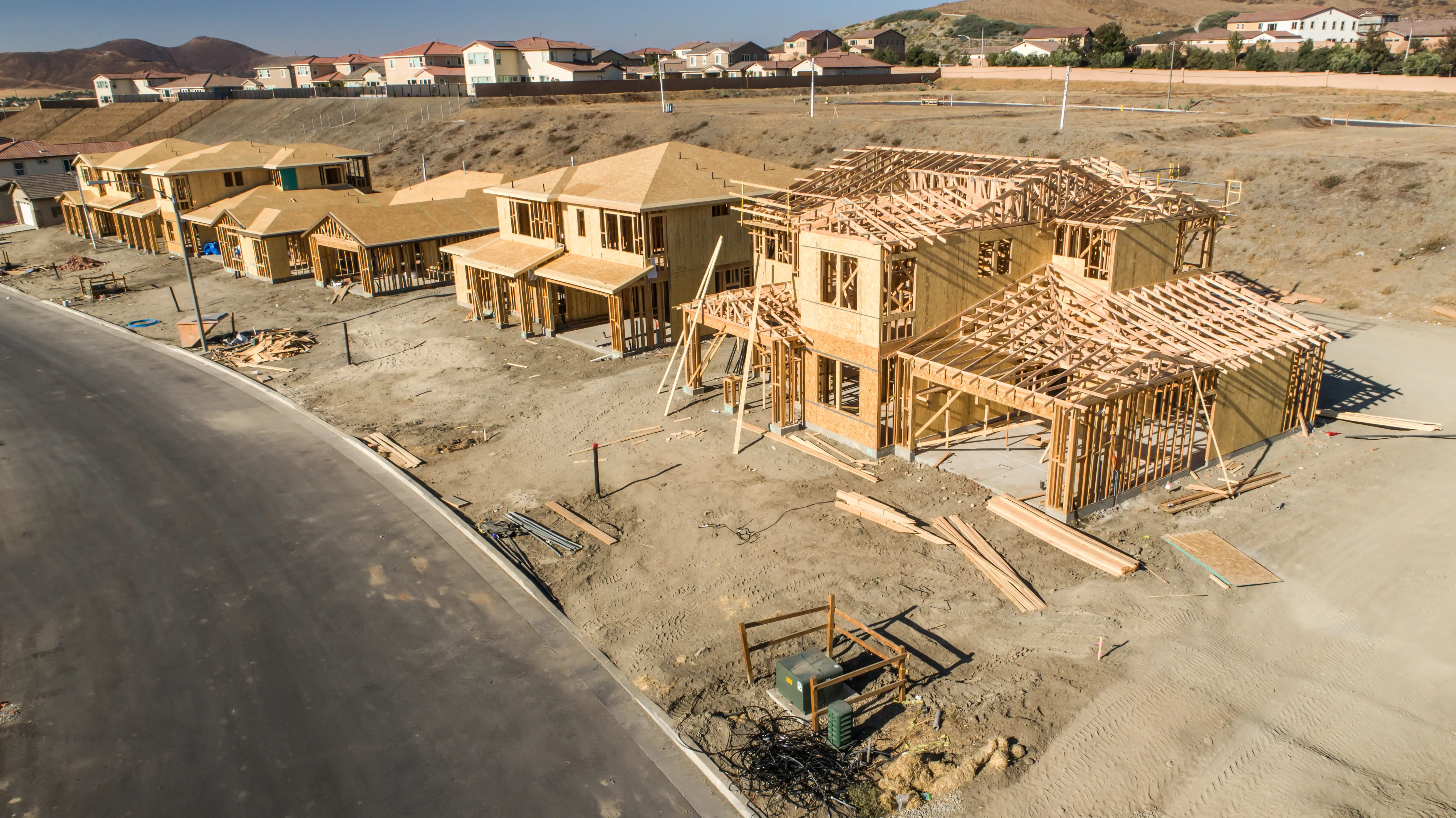
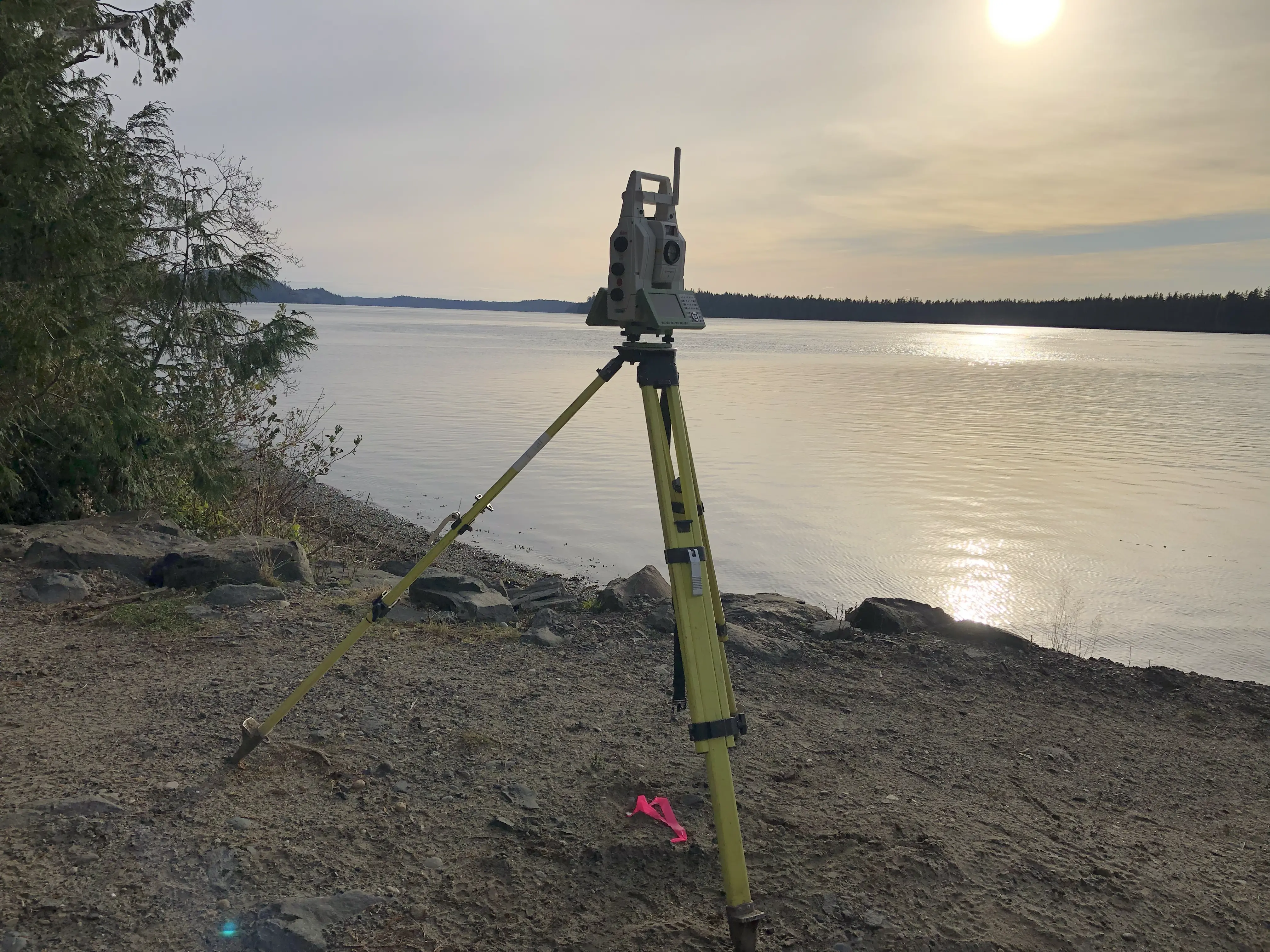
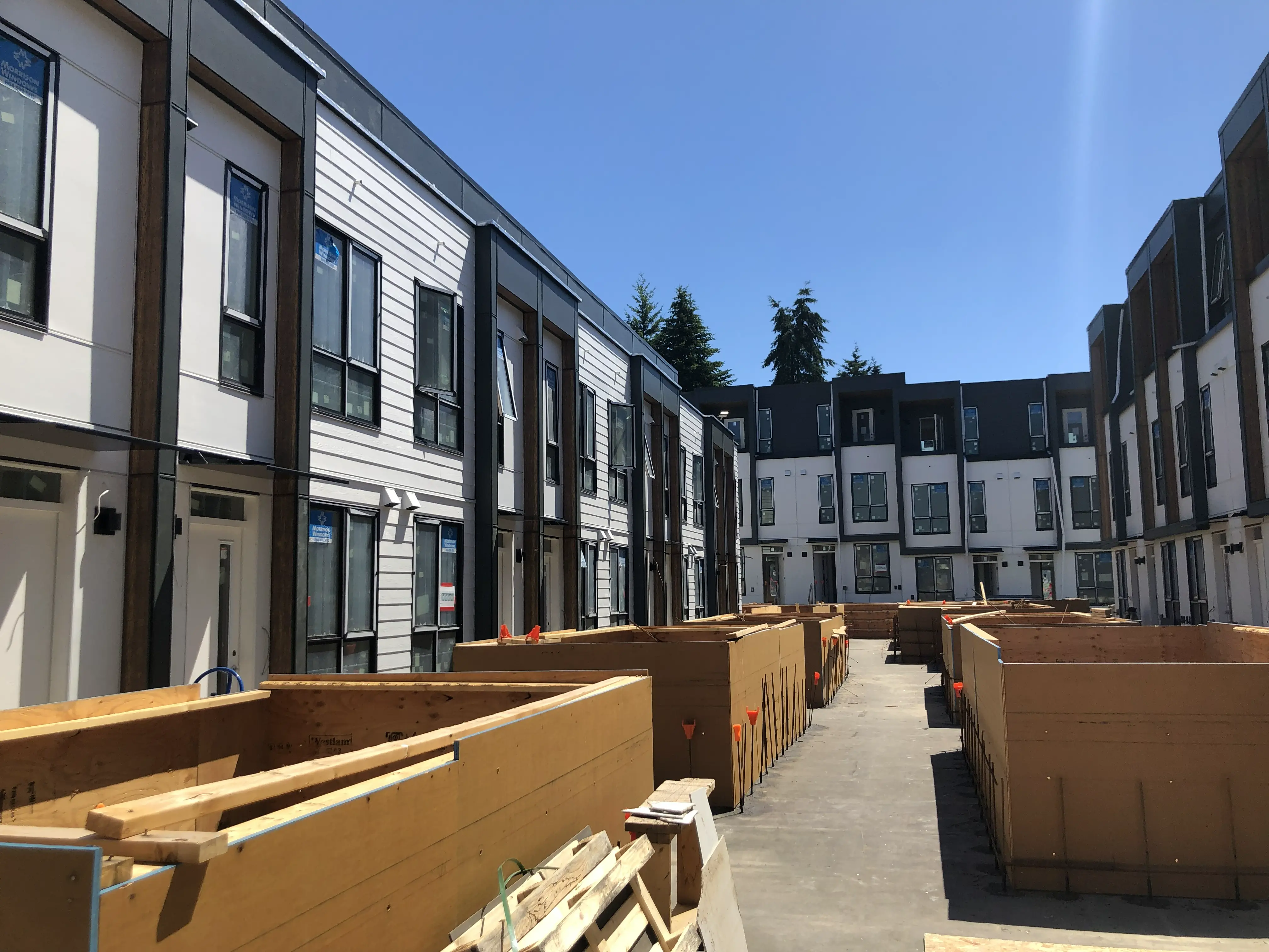
The field work for an air space subdivision involves precisely measuring the horizontal and vertical limits of the air space boundaries. Our crews use GNSS technology, Robotic Total Stations and Terrestrial LiDAR to measure the physical features of the building to define the side, upper, and lower limits, and to establish vertical reference points (benchmarks) around the site. The progress of construction heavily impacts the scope and time to completion; if an air space boundary is designed to be located within a specific wall, floor, or ceiling, it is highly recommended that this structure be built before the final field measurements are taken to eliminate the risk of discrepancies.
Plan Preparation
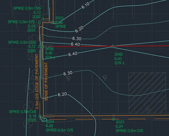
Our drafting team translates the 3D field data into an Air Space Plan, consisting of a plan view, isometric (3D paraline) views, and cross-sections to illustrate the volumetric boundaries. The BCLS assigns a unique number or letter to every corner of the air space parcel, providing a clear reference across all views and within the plan's volumetric book of reference. The BCLS then electronically signs the Survey Plan Certification (SPC) using a secure digital certificate, the municipal Approving Officer endorses the plan, and the complete package is submitted to the LTSA for registration, where the Registrar reviews and deposits the plan and raises the new indefeasible titles.
What professional documents and markers do you receive upon project completion?
Certified Legal Air Space Plans
Digitally signed PDF plans ready for registration at the LTSA.
Topographic 3D CAD Files
CAD drawings (DWG/DXF) that integrate the volumetric boundaries with your architectural and engineering designs.
Point Clouds and Orthoimages
Dense 3D Terrestrial LiDAR scan data providing a complete digital twin of your structure and site.
Physical Monumentation and Bench Marks
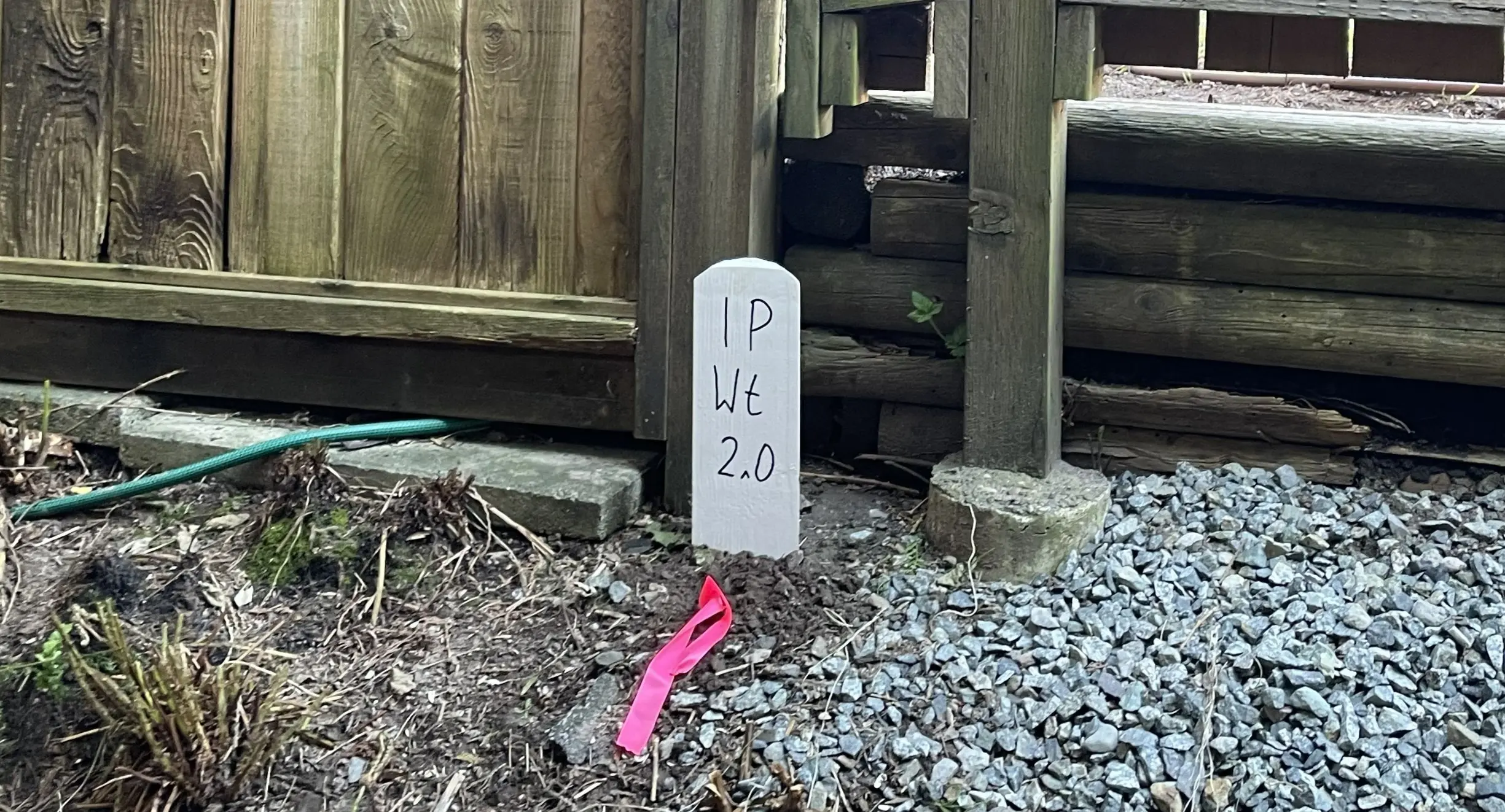
Installation of required survey posts and permanent local geodetic bench marks.
Frequently Asked Questions
Get answers to common questions about our land surveying services.
Local Resources for the Sea to Sky
Where can you find official topographic and permit checklists for the Sea to Sky?
Service Gallery
Field photos, survey plans, and technical captures from our projects.