
Topographic Surveys in Bowen Island
BC Land Surveyor certified topographic surveys for building permits in the Bowen Island Municipality.
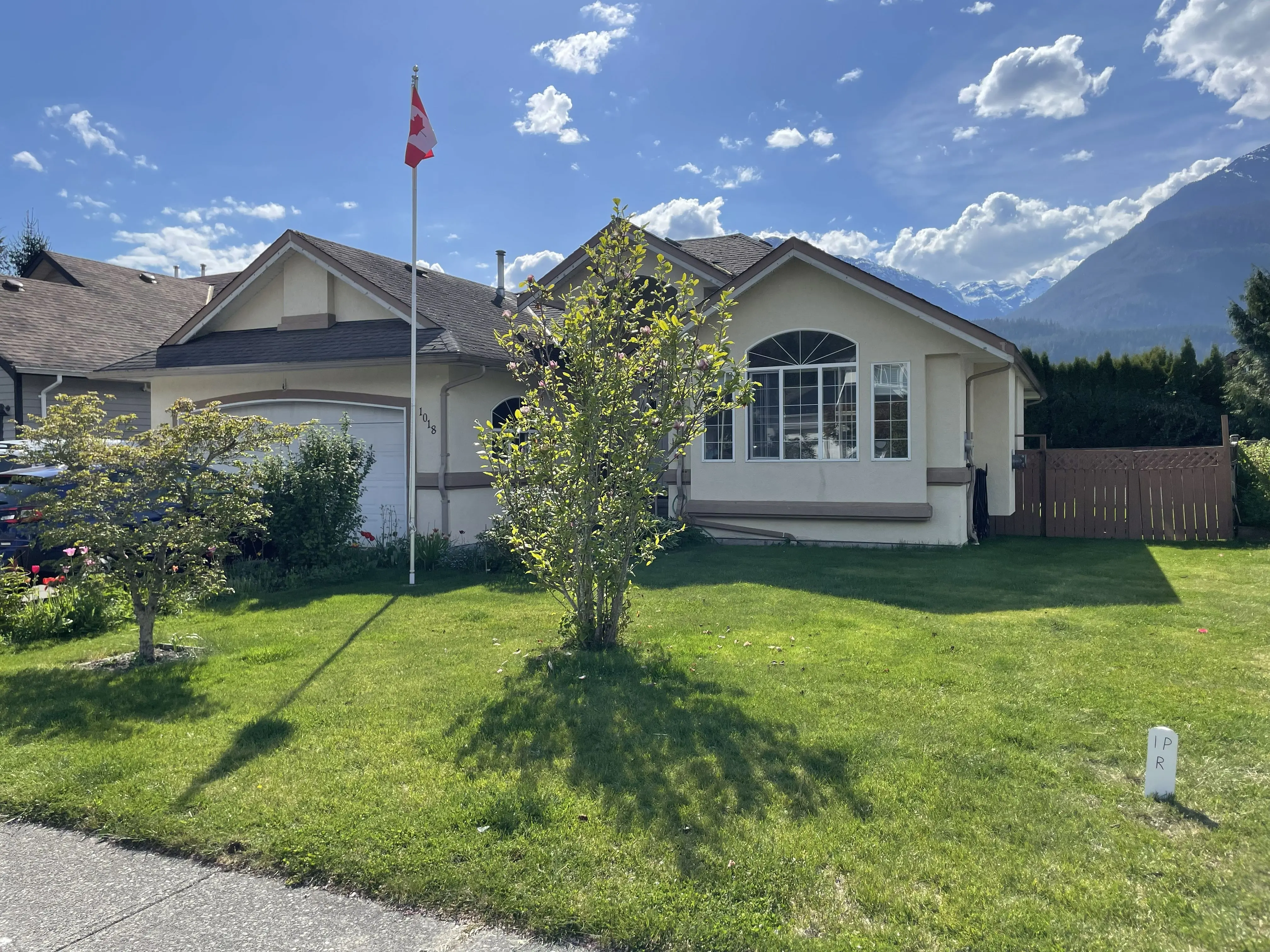
Professional Land Surveying Services
Topographic Surveys in Bowen Island
BC Land Surveyor certified topographic surveys for building permits in the Bowen Island Municipality.
Navigating the unique terrain and regulatory landscape of the Bowen Island Municipality requires precise, reliable spatial data. Whether you are planning a residential build in Bowen Island, a commercial development, or a renovation, a certified topographic survey is the essential first step. The Bowen Island Municipality enforces strict zoning bylaws and development guidelines, particularly regarding building heights, site coverage, and setbacks. Our BC Land Surveyor (BCLS) certified topographic surveys provide the exact elevation data, boundary lines, and existing site features needed to secure building permits and ensure your design complies fully with local municipal requirements.
Bowen Island's rugged island topography and sensitive coastal ecosystems require careful planning and precise spatial data. Properties often face challenges related to steep slopes, rocky terrain, and riparian protection areas. Tantalus Geomatics provides certified topographic surveys that map these critical features, ensuring your project complies with Bowen Island Municipality's environmental and development permit guidelines.
By choosing Tantalus Geomatics, you partner with a team that understands the unique logistics and requirements of island development. We work closely with local builders and Bowen Island Municipality staff to deliver high-precision digital terrain models and detailed CAD files that keep your project moving forward on schedule.
Why Choose Tantalus Geomatics?
Our team combines local Sea to Sky expertise with state-of-the-art surveying technology. We deliver highly accurate, BCLS-certified plans that streamline your municipal permit approvals and protect your property investments.
Our 3-Step Survey Process
How do we ensure accuracy and efficiency in our land surveying projects?
We follow a structured, transparent process to deliver precise results and keep your project on schedule.
Consultation and Research
We review property records, LTSA plans, and municipal GIS data to understand your lot's context and regulatory requirements before arriving on-site.
On-Site Field Survey
Our crew uses high-precision robotic total stations and GPS equipment to measure and mark boundaries or capture detailed topographic data.
Drafting and Certification
We process the field data, draft professional plans, and provide certified BCLS documents tailored to your project requirements.
Deliverables We Offer
What professional documents and markers do you receive upon project completion?
Every project concludes with a comprehensive package of certified documents and physical markers to meet all legal and municipal requirements.
Certified BCLS Plan
PDF & Physical Copies
Digital CAD Files
DWG/DXF formats
On-Site Boundary Markers & Stakes
Detailed Topographic Site Map
Frequently Asked Questions
Get answers to common questions about our land surveying services.
Have questions about timelines, pricing, or requirements? Find quick answers below.
Helpful Resources & Guides
Explore more land surveying resources and related services.
Learn more about our pricing, boundary staking, and topographic site plans.
Local Resources for Bowen Island
Where can you find official topographic and permit checklists for Bowen Island?
Access official municipal planning guidelines, topographic requirements, and permit checklists directly from the local authority.
Request a Free Quote Today
What information do we need to start your survey quote today?
Providing us with your name, property address, contact information, and project details allows us to start your quote right away.
Need Professional Assistance with Topographic Surveys in Bowen Island?
Our team of British Columbia Land Surveyors (BCLS) and Professional Engineers (P.Eng.) is ready to help guide your project to success. Contact us today for a free consultation.