
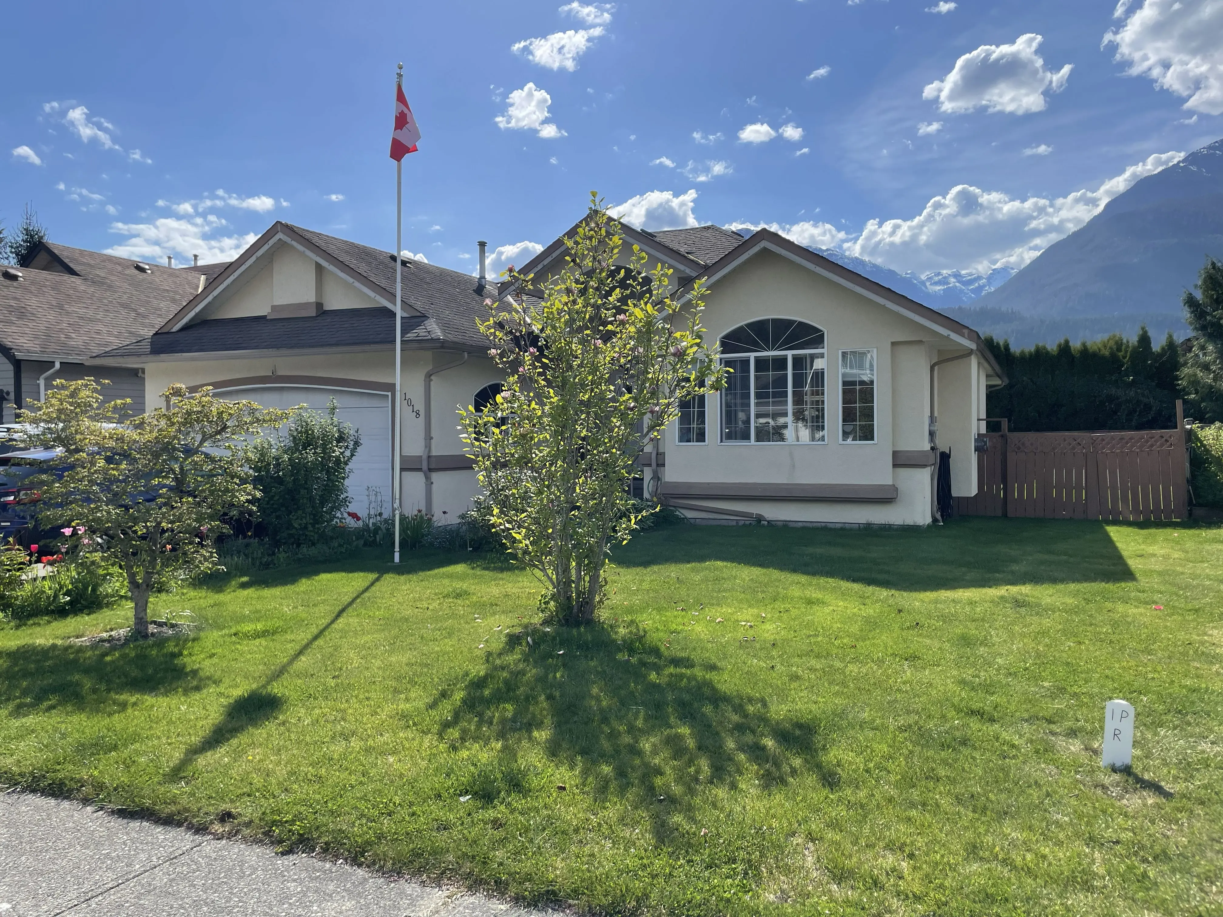
Land Development in British Columbia
A topographic survey before you build.
Building a home in British Columbia involves a complex intersections of legal, permitting, environmental, and engineering requirements. A topographic survey translates the physical reality of your land into the data required by your architect, engineer, and the city.
What is included in a Tantalus Geomatics Topographic Survey?
A topographic survey prepared and signed by a BC Land Surveyor (BCLS) is one of the documents often used for permit applications and design.
Land use planning, design and development uses measurements of the site as it stands. A topographic survey and site plan prepared and signed by a BC Land Surveyor (BCLS) is used for:
Permit Applications and Approvals
Site Plans and Topographic Surveys are standard requirements for municipal building permits, subdivision applications, development permit applications and variance permit applications.
Architecture and Engineering Design
Architects and Engineers use topographic measurements, taken with survey-grade equipment, for building design, site servicing plans, flood hazard mitigation, environmental assessments and geotechnical designs.
Protection of Natural Assets
A topographic survey depicts the locations of significant trees, watercourses, steep slopes and areas under strict environmental regulation that may require protection throughout the land development process.
Our land survey process
How does Tantalus Geomatics Land Surveying conduct a topographic survey?
Conducting a Topographic Survey is a technical process that combines legal, environmental, and engineering requirements. We follow a standard professional process and aim to capture the site details the design calls for.
Consultation and Research
Contact us with your property details. We research existing survey and land title records, in addition to the regulatory requirements that affect your project. We pull the original land titles and survey plans from the Land Title and Survey Authority of BC (LTSA), in addition to studying up to date satellite imagery and municipal Geospatial Information Systems. This allows us to confirm the context of your lot and the surrounding properties before we arrive on-site.
Field visit
Our field crew, working under the direct supervision of a BC Land Surveyor, visits your property to perform a field survey. We search for original property corner posts and measure site features with survey-grade equipment. Robotic total stations, GPS, drones and laser scanners are used on large tracts of land.
Certified survey plan
After the field work, we process the data and draft a topographic survey plan or a site plan for the permit application and the design. This document is signed and sealed by a British Columbia Land Surveyor (BCLS). It is the survey document used for a permit submission and for technical design.
What types of datasets are offered for a topographic survey or a site plan?
We Provide a Range of Datasets to Support Your Design Needs
In addition to a certified topographic survey or site plan in PDF format, we also offer a range of data product deliverables including CAD DWG files, point clouds, digital terrain models and more.
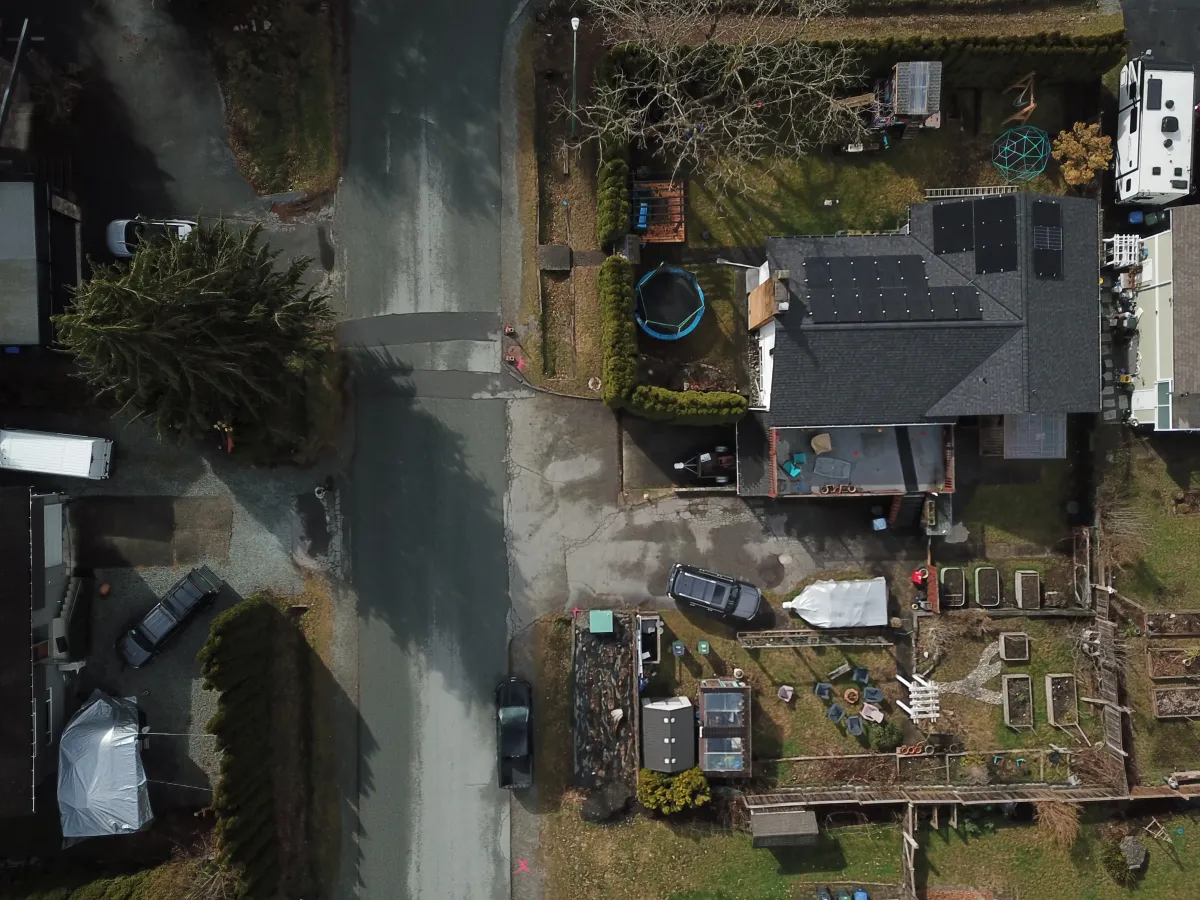
Real World Example
Case Study: Building a Home in the District of Squamish
What steps are required to construct a new home in the District of Squamish?
Constructing a new home in the District of Squamish involves navigating permit applications, strict site design and servicing requirements, municipal bylaws and restrictive covenants. Prior to any construction, a topographic survey or site plan forms a necessary foundation for permit applications, identifying land use restrictions, and developing compliant designs.
What three questions should you ask before building in the District of Squamish?
- What are the data needs of my engineers and architect?
- Am I located in a development permit area?
- Have I checked my property title for any restrictive covenants that prohibit constructing my proposed design?
Tantalus Geomatics Land Surveying can help guide you navigate this process with our three step process:
Research
- Complete an initial consultation to confirm exactly what you are seeking to accomplish.
- Obtain property title, legal charge documents and relevant survey plans from the land title office.
- Confirm whether there are any restrictive covenants that would prohibit constructing the proposed design.
- Collect relevant records of visible and buried services.
- Correspond with your design team to confirm their data needs and any land use restrictions they have identified.
- Confirm the District of Squamish land use bylaws and permitting requirements:
- Preparation of field reference data to help us capture the site details the work calls for.
Field Visit
- We first search for property corner posts and use them, with survey-grade equipment, to locate the parcel boundaries.
- Next, we measure topographic and site features with survey-grade equipment, such as robotic total stations, RTK GPS receivers, drones and laser scanners.
- Finally, we tie elevations to the geodetic datum specified by the District of Squamish, using GPS receivers and existing monuments.
Certified Survey Plan
A site survey or topographic survey may result in the preparation of one or more deliverables, depending on your needs:
- Certified site plan or topographic plan: A certified plan that depicts the locations of the site's current topography and constructed features relative to your property lines.
- CAD File: A digital drawing format common among architecture, engineering and construction professionals.
- Point Cloud: A file containing the XYZ locations of points. These can be a spare or dense representation of the site, depending on the field survey methods.
Ready to talk about a topographic survey?
Survey plans are prepared and signed by a BC Land Surveyor (BCLS) at Tantalus Geomatics, based in Squamish. Tell us about your property so we can help with the next step. See our topographic surveys and site plans service.