
Understanding The Cost of a Land Survey
Land Surveys: An Investment in Legal Certainty.
A land survey in British Columbia should be viewed as a critical legal safeguard. Understand how factors such as site conditions and terrain, historical research, modern measurement instruments and terrain challenges impact the cost of a land survey.
What factors impact the cost of a land survey in British Columbia?
A land survey in British Columbia is a small investment in protecting your most valuable asset.
Unlike many other home services where a flat fee can be easily calculated, land surveying is subject to several variables. Your quote reflects the level of effort, judgement and liability involved in producing accurate survey records and satisfying our ethical obligation to protect the public interest.
Site Conditions, Terrain Challenges & Parcel Size
The level of effort of a land survey often reflects the unique physical and historical characteristics of a property. While the "per-acre" cost for large tracts—such as a 100-acre rural parcel—may be lower, the total project cost scales with travel time, site conditions, and the extent of the boundary lines requiring verification. Across British Columbia, crews must frequently navigate steep slopes, dense forests, and marshy terrain that directly impact the level of effort. Often, the labor required for "clearing line", involving physically clearing a path through vegetation to establish a line-of-sight, can exceed the time spent on the actual surveying measurements. In contrast, small urban lots in high-density areas like the Lower Mainland present their own complexities, including physical obstructions, traffic control requirements, and the high precision needed to navigate a dense network of underground utilities.
Historical Evidence Recovery
Modern surveyors are required to accurately locate boundaries that were surveyed prior to modern standards. This often involves searching for original 19th-century monuments that defined the parcel's boundaries. When an original monument is missing, the surveyor must "re-trace" the work of the original surveyor, potentially extending their research kilometers away from the subject property to find the best available evidence of the corner's original location.
Technological Overhead & Innovation
Modern land surveying in British Columbia is characterized by advanced geospatial technologies designed to ensure precision in the province's challenging terrain. Modern technologies, such as drone-based laser scanning for penetrating dense forest canopies, robotic total stations for high-efficiency field work, and multi-constellation GNSS receivers for mountain valleys yields increased accuracy and faster project timelines. This technology introduces significant capital costs that firms must recover, in addition to high insurance premiums and the need for specialized data processing software.
Rigorous Regulatory Framework
The cost of land surveying in BC is linked to the province's rigorous regulatory framework focused on protection of the public interest. The Association of BC Land Surveyors (ABCLS) enforces strict rules and standards on all activities carried out by a BC Land Surveyor. A British Columbia Land Surveyor (BCLS) cannot "cut corners" to lower a price; they are legally bound to follow a prescribed process of due dilligence, field investigation, and documentation.
Professional Judgement and Liability
Consumers often view the land Surveyor as a technician whose primary output is a wooden stake, rather than a legal professional whose primary output is a defensible opinion on the extent of property ownership. In British Columbia, the surveyor's liability is a financial risk that is increased due to high property values. You are paying for the transfer of legal liability and the peace of mind that the survey is accurate.
How We Calculate Your Quote
What is the process for estimating the cost of a land survey in BC?
Since no two properties share the same legal history or terrain, an estimate requires significant preliminary research. Our three-step quoting process ensures transparency and ethical compliance.
Statutory Research & Title Review
We begin by searching the LTSA's records for your property's title, relevant plans and charge documents. Depending on the type of survey, additional research may be required such as municipal permitting requirements, zoning bylaws, provincial application requirements, and utility records to confirm the scope of work required to meet your project's needs.
Terrain & Evidence Assessment
The physical difficulty of a site directly impacts the amount of on-site time required to complete the survey. We assess topography, the size of the site, line-of-sight and the full scope of the site features we to survey.
Regulatory Deliverable Definition
We determine the plans and datasets you need to move your project forward. For example, the Land Title Act mandates that whenever a BCLS sets or restores a legal boundary marker, they must file a Posting Plan in the Land Title Office.
Comparative Analysis
Case Study: Suburban Residential Lot in Squamish vs. an Undeveloped 68.8 hectare parcel in Paradise Valley
How do terrain, property size, and legal constraints affect the level of effort required to survey a residential suburban lot compared to a large rural parcel?
The cost of a survey is a reflection of the specific terrain, history, and legal survey fabric. To illustrate the impacts these factors have on the cost of a survey, we compare the requirements for a single family home suburban lot in the Garibaldi Estates to a large undeveloped parcel in Paradise Valley.
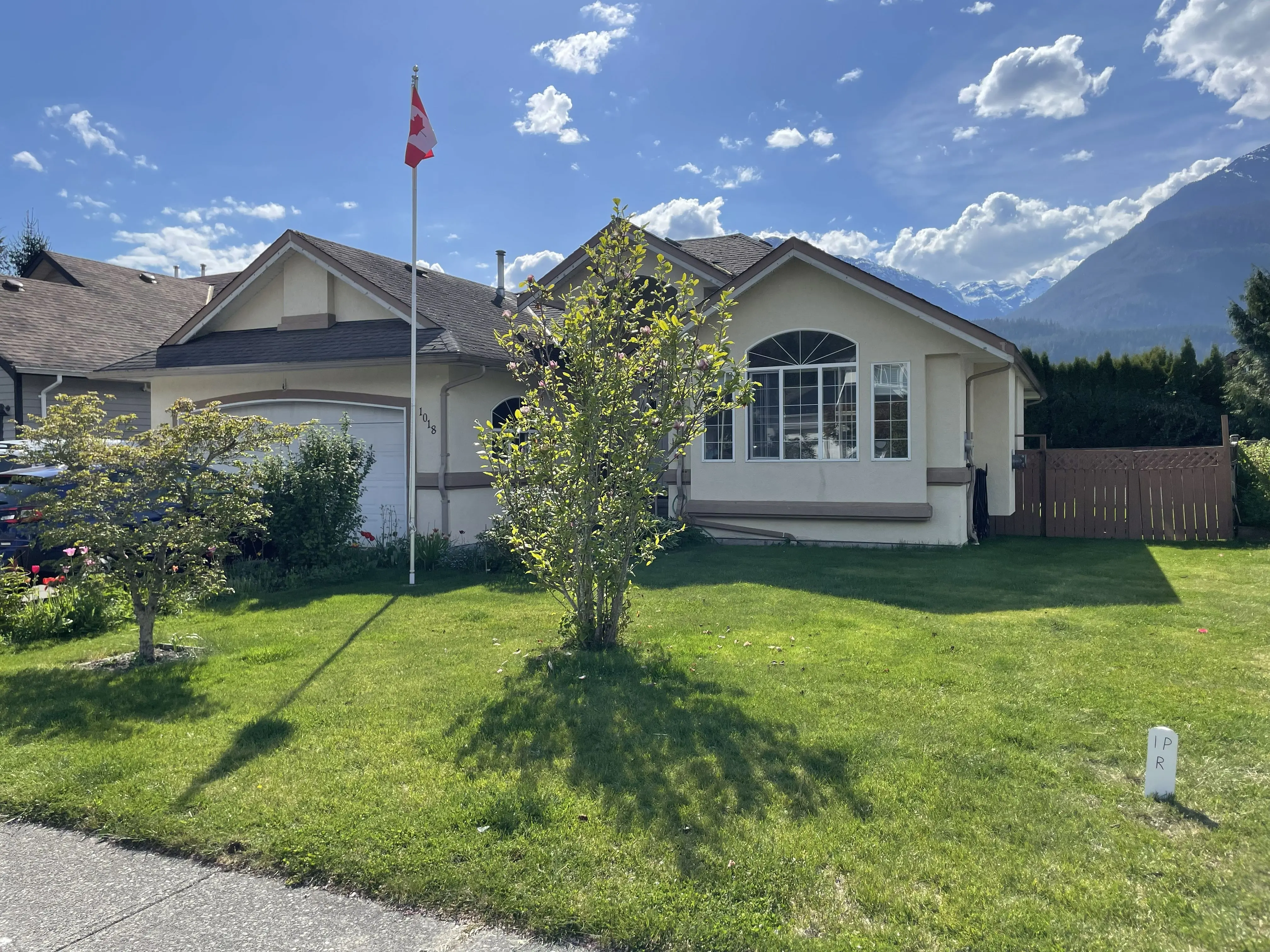
Residential Suburban Lot (Squamish)
Windsor Place
Legal Boundary Survey Effort
While small in land area, suburban surveys are rarely simple. The nature and density of development means property corner posts are frequently destroyed by prior construction, utility installation, and landscaping. To accurately re-establish a single corner, our crews often must extend their survey across multiple adjacent blocks to locate the nearest undisturbed monuments. Additionally, the proximity to neighboring structures dramatically increases the liability risk and reduces line-of-sight, demanding professional grade field and office practices to achieve the legally obligated centimeter-level accuracy required to certify the survey.
Topographic Survey Effort
In a built environment, topographic mapping must account for complex utility networks, tight municipal setbacks, and significant tree protection bylaws. While the physical area mapped is smaller, the density of required data points per square meter is significantly higher.
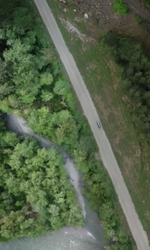
68.6 Hectare Rural Lot (Paradise Valley)
Reference Plan BCP39687
Legal Boundary Survey Effort
Surveying a large 68.6ha parcel represents a significant undertaking. This site presents a number of boundary complexities, requiring the definition of different types of intersecting boundaries including the Cheakamus River's natural boundary, spiral curves along a CN Rail right of way, and two distinct BC Hydro statutory right of ways. Physically, crews must navigate steep terrain and dense forests, investing heavily in labor to clear vegetation. Additionally, the volume of historical and legal research required, often tracing back to 19th-century Crown Grants, further impacts both the cost of the survey and the level of effort required to simply produce a quote.
Topographic Survey Effort
A topographic survey of this magnitude required the integration of modern advanced survey methods. We utilize drone-based LiDAR to penetrate the dense forest canopy and map the ground surface. While this mitigates weeks of manual field labor, the increasesd volume of data processing, QA/QC, storage and hosting, in addition to the high capital cost of equipment, heavily factor into the project's economics.
Protect Your Property Investment with A Certified Land Survey
At Tantalus Geomatics, we focus on delivering high accuracy professional grade products and services, ethical compliance, and long-term risk mitigation and peace of mind for our clients.