
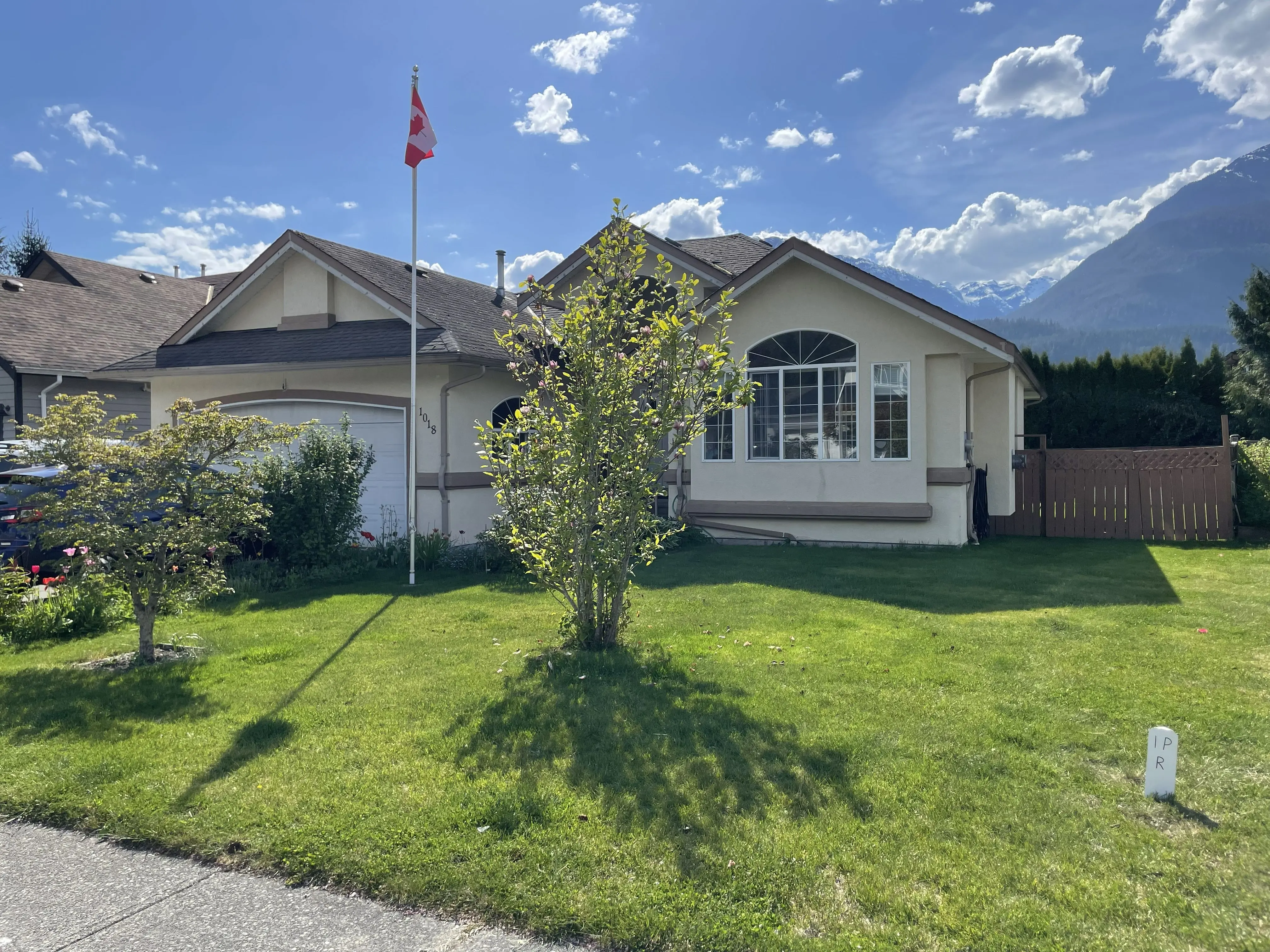
Sea to Sky homeowners
A boundary survey before you build a fence, wall, or remove a tree.
Building a fence? Planning to remove a tree? Installing a retaining wall? A boundary survey prepared and signed by a BC Land Surveyor (BCLS) shows the boundary before that work starts.
What can go wrong with property improvements without a boundary survey prepared and signed by a BC Land Surveyor (BCLS)?
Good neighbors respect boundaries. Great neighbors work together to verify them before any work is done.
Property improvements can be affected by where the boundary is. Without a boundary survey prepared and signed by a BC Land Surveyor (BCLS), work can end up on the wrong side of the line. That can lead to:
Encroaching Structures and Costly Deconstruction
Homeowners may be forced to tear down and relocate new fences or structures if they are accidentally built on the wrong side of the property line.
Fines for Unpermitted Activities
There may be significant legal repercussions and fines for clearing trees on land you do not own and without securing the necessary permits.
Neighbor Disputes
There may be protracted disputes with neighbors that can permanently affect your home environment and resale value.
Our land survey process
How does Tantalus Geomatics determine and document your property boundary?
Determining a property boundary is a legal process that combines researching historical records and locating physical evidence on the ground. We follow a standard professional sequence. The boundary is interpreted from the records and from measurements taken with survey-grade equipment, and the plan is prepared and signed by a BC Land Surveyor (BCLS).
Research
Every survey begins with a review of the existing records. We pull the original land titles and survey plans from the Land Title and Survey Authority of BC (LTSA). This allows us to understand the legal history of your lot and the surrounding properties before we arrive on-site.
Field visit
Once we have the data, our field crew, working under the direct supervision of a BC Land Surveyor, visits your property to perform a field survey. We search for original iron pins and measure with survey-grade equipment. If markers are missing, we use the surrounding evidence to re-establish the corner and set a new post.
Certified survey plan
After the field work, we process the data and draft a formal survey plan. This document is signed and sealed by a British Columbia Land Surveyor (BCLS). It can be included with a building permit application, given to a fence contractor, or used when there is a question about the boundary.
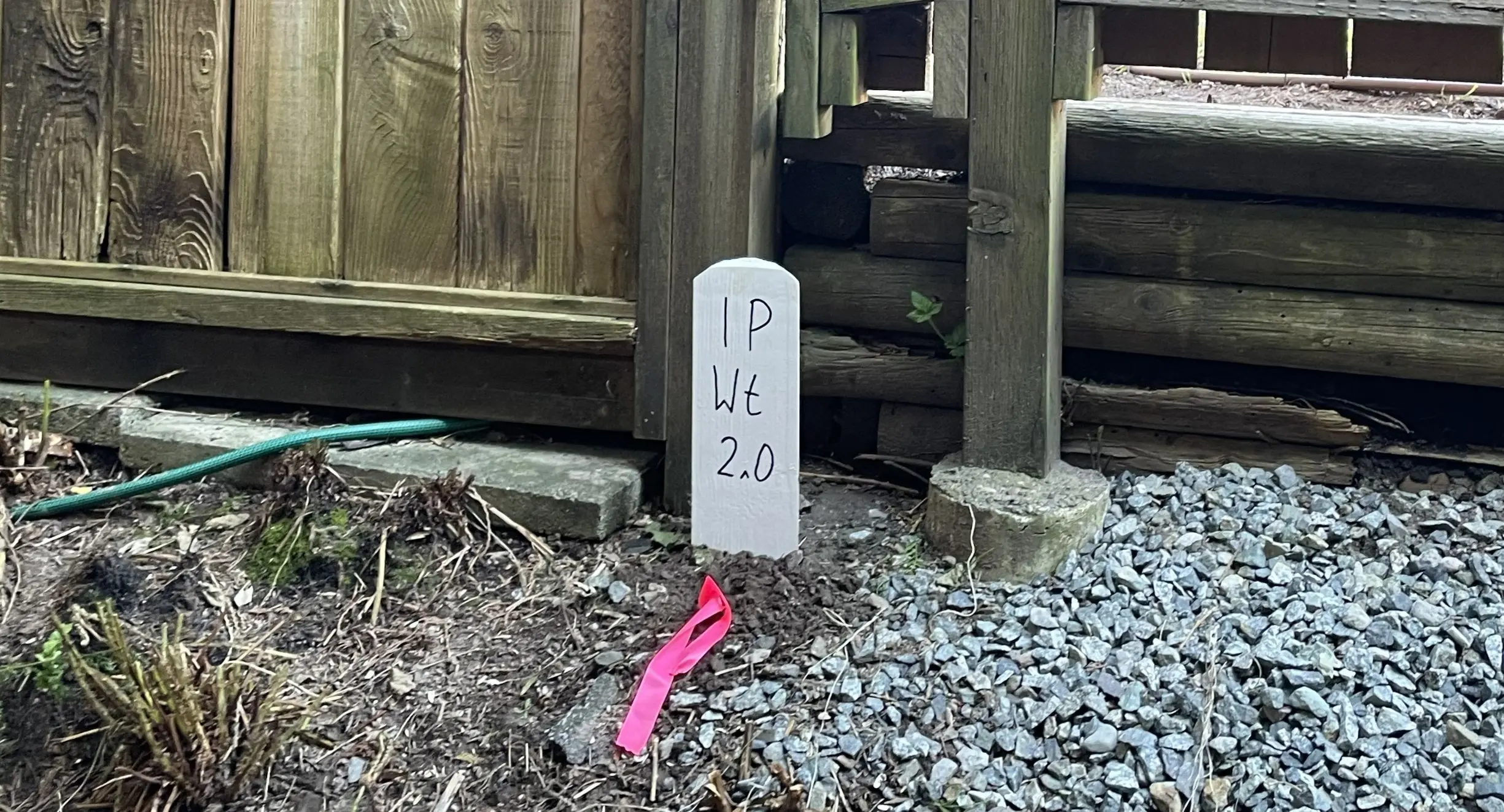
Real World Example
Case Study: Removing a tree in the District of Squamish
What should you know about tree removal in the District of Squamish beyond an agreement with a neighbour?
Tree removal often involves more than an agreement with a neighbour. Restrictive covenants on title and municipal bylaws can introduce further restrictions and permitting requirements prior to proceeding with your project.
What three questions should you ask before removing a tree in the District of Squamish?
- Is the tree located on my lot?
- Do I need a permit to remove the tree?
- Have I checked my property title for any restrictive covenants that prohibit removing the tree?
Tantalus Geomatics Land Surveying can help guide you navigate this process with our three step process:
Research
- Complete an initial consultation to confirm exactly what you are seeking to accomplish.
- Obtain property title, legal charge documents and relevant survey plans from the land title office.
- Confirm whether there are any restrictive covenants that would prohibit tree clearing.
- Confirm whether a municipal tree permit is required for your specific situation:
- Preparation of field reference data to help us capture the site details the work calls for.
Field Visit
- We first search for each of the relevant property corner posts.
- If any of the posts are missing, we expand our search until we have found enough adjacent evidence to re-establish the corner, measured with survey-grade equipment.
- We then measure all the features you request along the property line (e.g. trees, fences, retaining walls, etc...).
- If a municipal permit is required, we collect the site and topographic data required to prepare a tree removal plan to accompany your permit submission.
- If staking is required, we set new iron posts at any of the missing corners and set stakes at intermediate positions along the line.
Certified Survey Plan
A tree removal property line survey may result in the preparation of one or more plans, depending on your needs:
- Certified sketch of site features: A certified plan that depicts the locations of site features relative to your property line.
- Tree Removal Plan: A tree removal plan consistent with the District of Squamish's Tree management permit requirements.
- Posting Plan: If one or more property corner posts are re-established during the survey, a posting plan is prepared for filing at the land title office.
Ready to talk about a boundary survey?
All work is carried out by a BC Land Surveyor (BCLS) at Tantalus Geomatics, based in Squamish. Tell us about your property so we can help with the next step. See our boundary surveys service.