Bare Land Strata Surveys in the Sea to Sky
Professional Bare Land Strata Surveys in the Sea to Sky, defining legal boundaries, strata roads, and utility corridors for strata communities.
Bare land strata developments offer a mechanism for creating individual ownership of land parcels while maintaining shared ownership and governance over assets like private roads, servicing infrastructure, and recreational areas in the Sea to Sky. Unlike a building strata, where boundaries are defined by the walls, floors, and ceilings of a structure, the boundaries of a bare land strata lot are defined by physical survey markers placed at parcel corners. Functioning much like a traditional fee-simple subdivision, a bare land strata allows developers to maximize land utility while establishing a formalized strata corporation to manage shared assets.
Creating a bare land strata is a complex, heavily regulated process governed by the Strata Property Act, the Bare Land Strata Regulations, the Local Government Act, and the Survey and Plan Rules enforced by the Association of British Columbia Land Surveyors (ABCLS). In British Columbia, a British Columbia Land Surveyor (BCLS) is the only party qualified to establish the legal boundaries to create new strata lots. Unlike a typical building strata, a bare land strata development require the review and endorsement of a municipal or provincial Approving Officer. Tantalus Geomatics Land Surveying routinely works with approving officers to ensure your access routes, utility corridors, and overall design exceed the requisite standards.
Why Choose Tantalus Geomatics?
Our team combines local Sea to Sky expertise with state-of-the-art surveying technology. We deliver highly accurate, BCLS-certified plans that streamline your municipal permit approvals and protect your property investments.
Our Bare Land Strata Surveys Process in the Sea to Sky
How do we ensure accuracy and efficiency in our land surveying projects?
Research
First, the BCLS gathers historical plans, Crown grants, field notes, and active title records from the Land Title and Survey Authority of British Columbia (LTSA). Next, they review local zoning bylaws, the Bare Land Strata Regulations, and all registered encumbrances, such as statutory rights of way and easements, to ensure the proposed strata layout accommodates existing site conditions. Finally, the BCLS reviews the parent parcel (i.e. the outer boundaries of the strata development) to identify any underlying boundary discrepancies or natural boundary movements that must be resolved prior to creating the strata.
Field Work
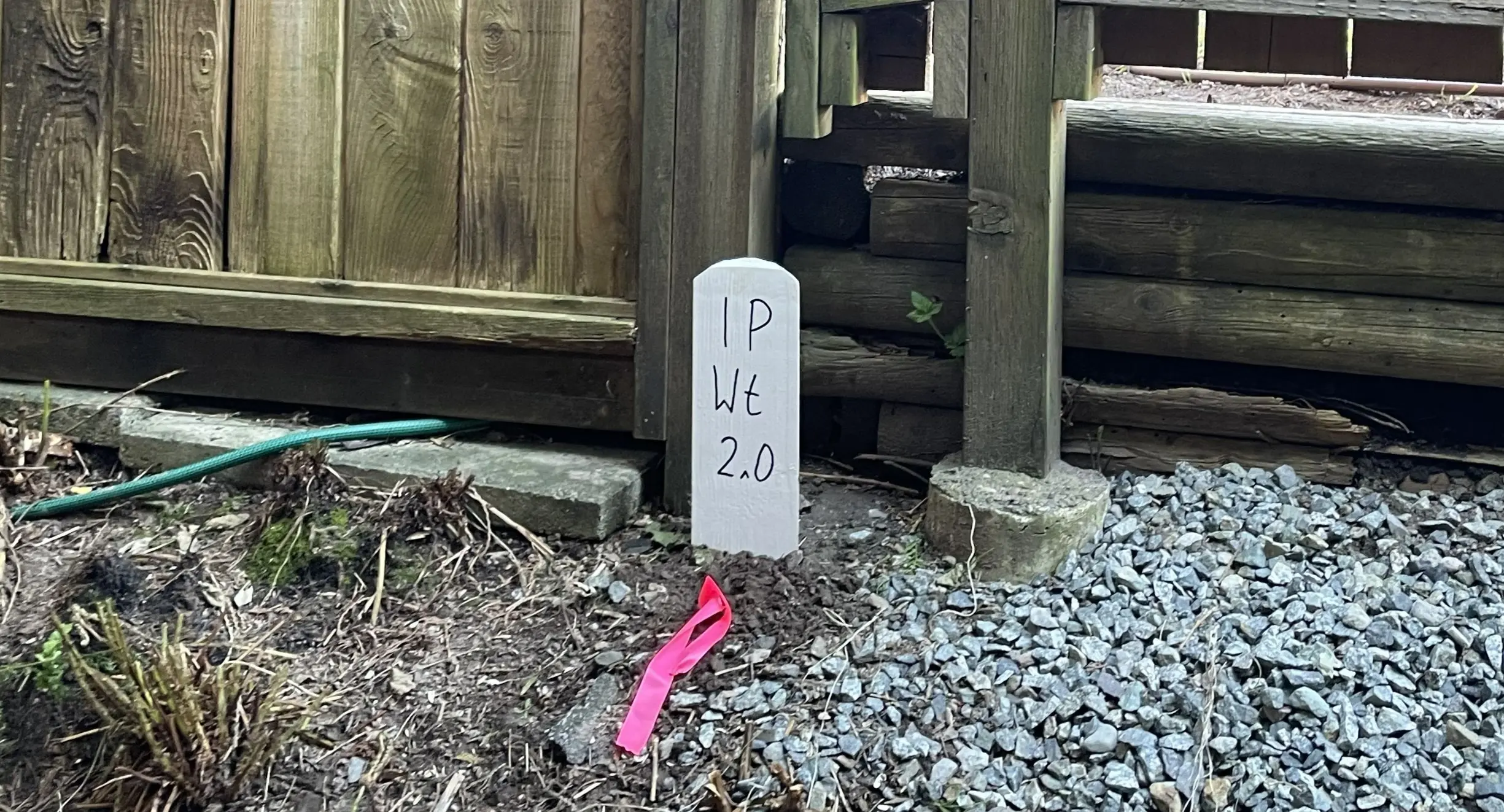
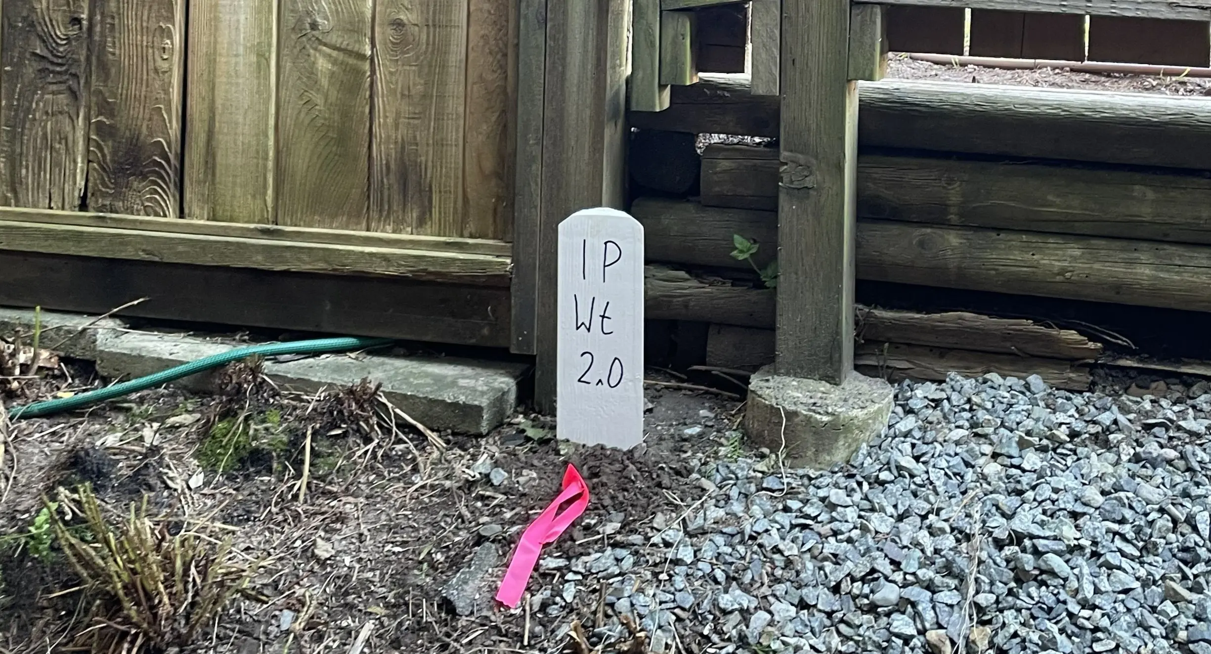
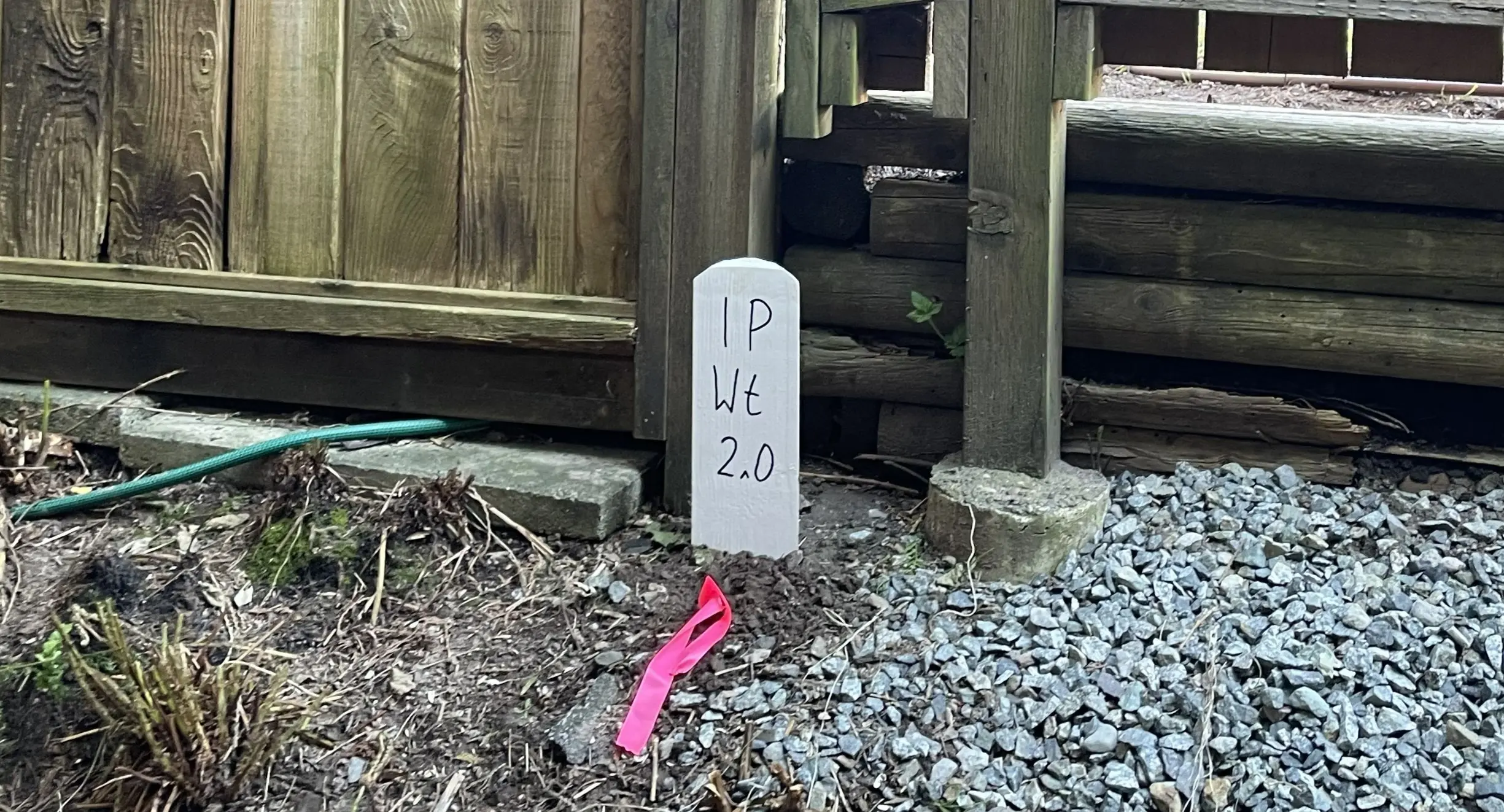
Our survey crews first conduct a boundary retracement survey of the parent parcel. Next, they complete a physical layout of the new strata lot boundaries by placing official survey monuments at every corner of every strata lot, common property, and limited common property. The ruggedness of the terrain, density of the vegetation, and the scale of the subdivision will directly impact the scope of field work and the time required to complete the survey.
Plan Preparation
Our technologists draft the Bare Land Strata Plan, ensuring strict compliance with the Strata Property Act and ABCLS standards. The BCLS reviews and certifies the plan, in addition to preparing the necessary accompanying documents, such as the Schedule of Unit Entitlement (Form V). The complete package is submitted for the Approving Officer’s endorsement before being provided to your legal counsel for registration at the LTSA.
What professional documents and markers do you receive upon project completion?
Certified Legal Bare Land Strata Plans
Digitally certified PDF plans ready for registration at the LTSA.
Property Corner Monumentation
Physical standard iron posts, lead plugs, or rock posts securely placed in the ground to mark every corner of the strata lots and common property.
Schedules of Unit Entitlement and Voting Rights
Certified Form V and Form W documents legally required to establish the proportional ownership, expense liabilities, and voting power of each owner.
Topographic 3D CAD Files
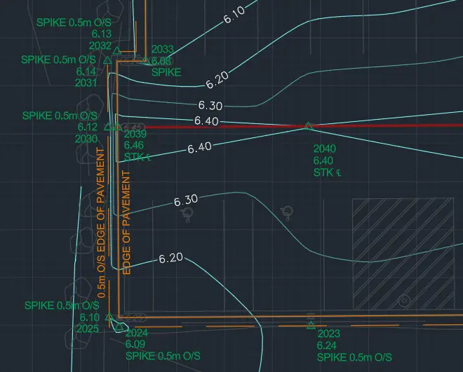
CAD drawings (DWG/DXF) used by civil engineers, architects, and planners for site, road, and infrastructure design.
Frequently Asked Questions
Get answers to common questions about our land surveying services.
Local Resources for the Sea to Sky
Where can you find official topographic and permit checklists for the Sea to Sky?
Service Gallery
Field photos, survey plans, and technical captures from our projects.