Phased Strata Surveys in the Sea to Sky
Professional Phased Strata Surveys in the the Sea to Sky, managing structural boundary layouts and legal filings for progressive multi-phase strata developments as consecutive structures achieve completion.
When undertaking a large-scale real estate development in the Sea to Sky, managing capital costs and market absorption is critical to the financial success of the project. Phased strata developments provide developers with the advantage of constructing and registering a single, unified strata community in successive stages over time. Governed by Part 13 of the Strata Property Act, a phased strata plan operates as a series of interim subdivisions; upon the deposit of the first phase, the strata corporation is formed, and title to the strata lots in Phase 1 are created while the remainder of the parent parcel remains under the Land Title Act. As dual-registered British Columbia Land Surveyors (BCLS) and Professional Engineers, our firm delivers the professional geomatics engineering, statutory authority, and professional foresight required to successfully navigate this highly complex legal and spatial process.
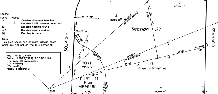
The foundation of a phased strata is the Phased Strata Plan Declaration (Form P), which must be approved by an Approving Officer and filed with the first phase. This critical document outlines the schedule for the entire development, the unit entitlements, the maximum number of units, and the construction of common facilities. Because each subsequent phase is excepted from the remainder parcel and consolidated with the previously deposited phases, the phase boundaries act as temporary, yet highly consequential, property lines. As your certifying professionals, our experts must be intensely vigilant in designing these phase boundaries to accommodate encroachments from underground parkades, building overhangs, and utility servicing, ensuring that appropriate easements are registered to protect the structural integrity and access rights of the remainder parcel.
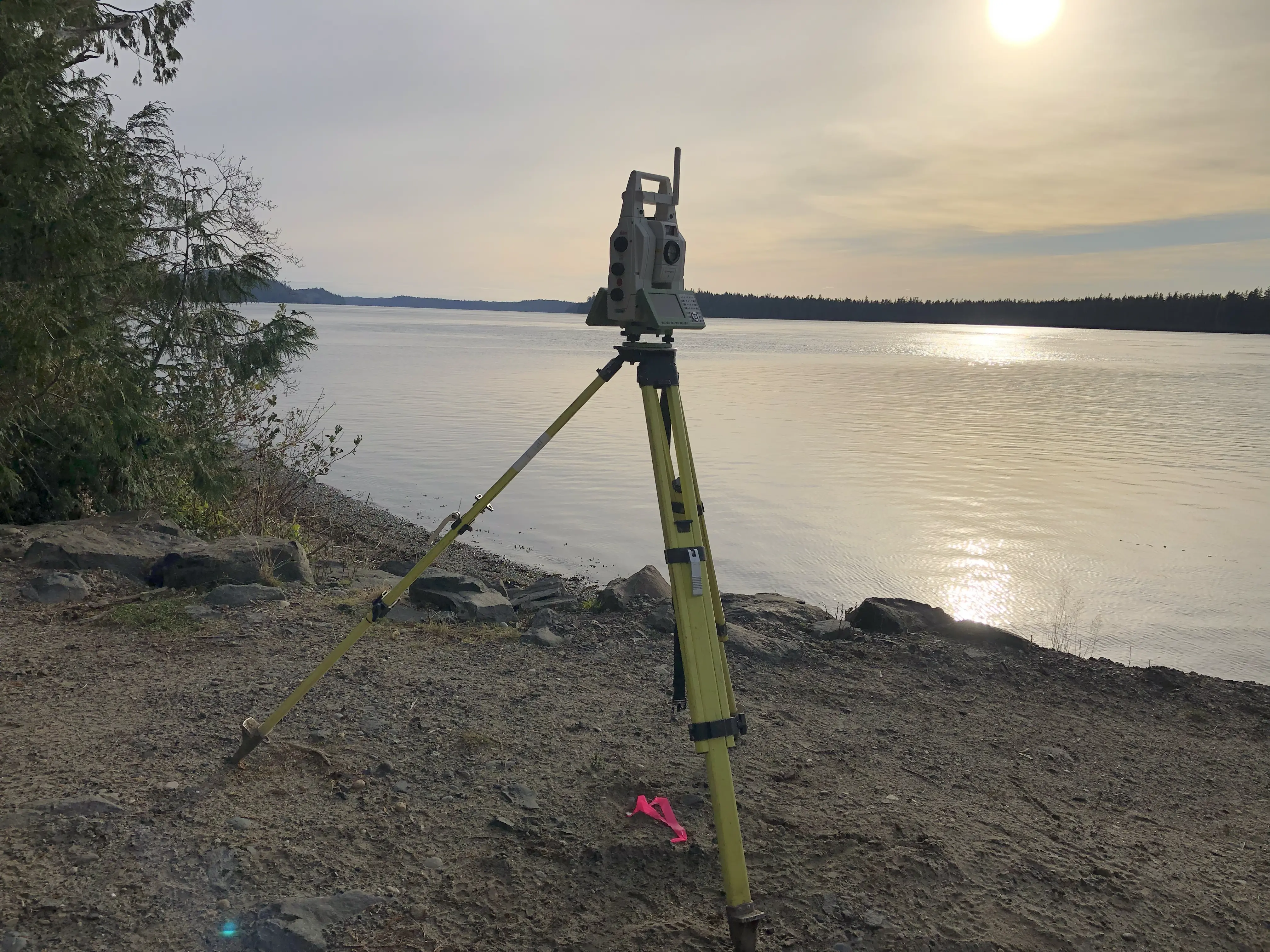
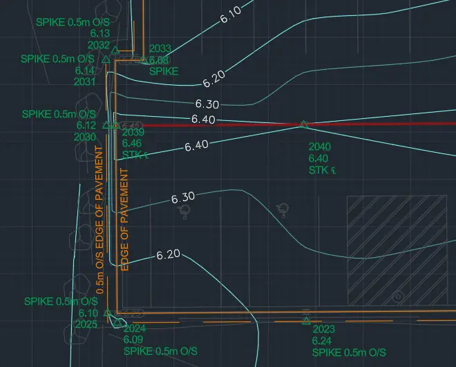
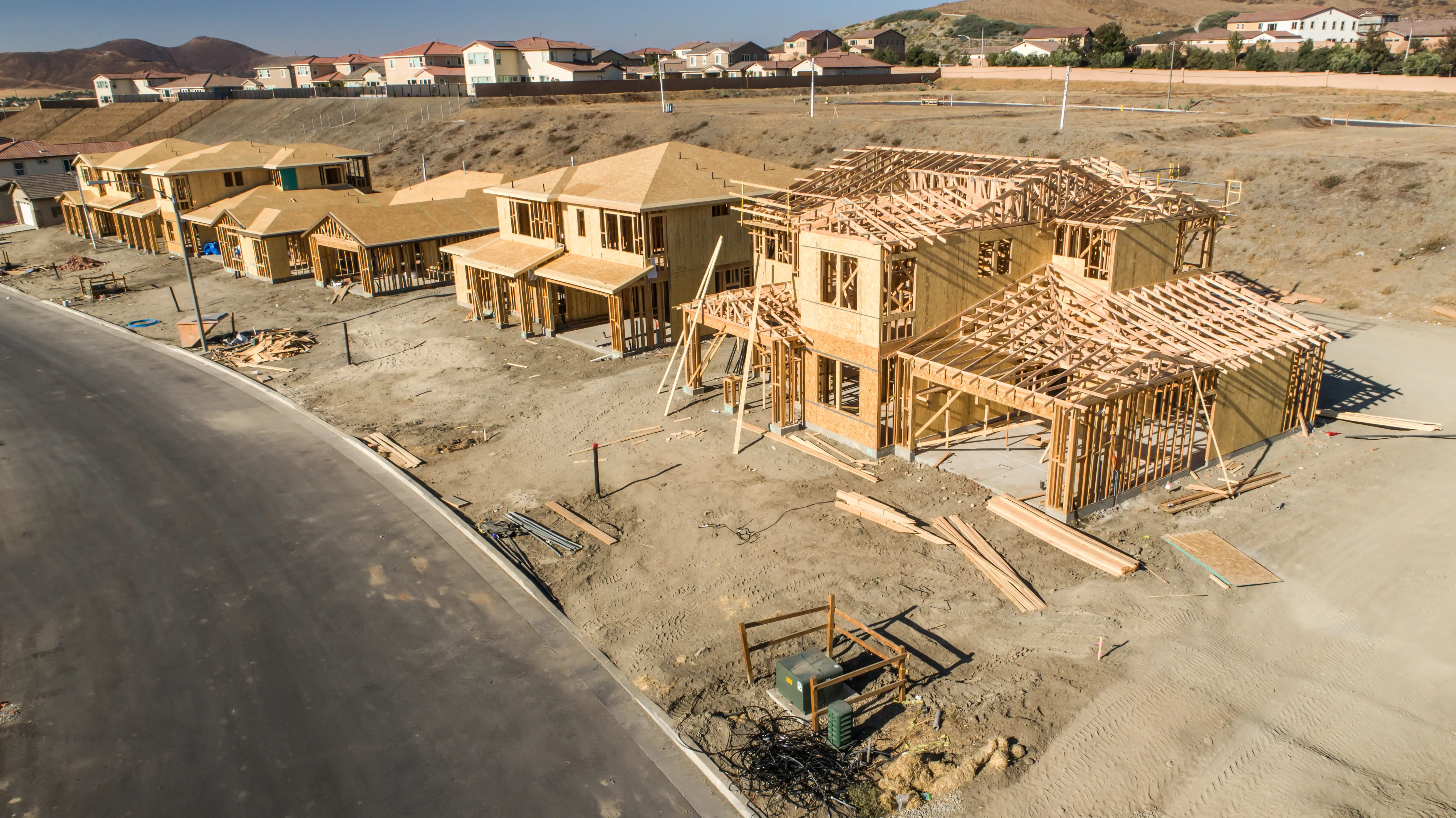
To achieve the high absolute and relative accuracy standards mandated by the Surveyor General and the Association of British Columbia Land Surveyors (ABCLS), we deploy an professional suite of state-of-the-art surveying equipment. During the initial site design, we utilize Aerial Drone Photogrammetry and Aerial Drone LiDAR to generate accurate 3D topographic terrain models, allowing our engineers to strategically optimize the phase boundary alignments across the entire development site. We establish a robust geodetic control network by occupying points with Static GNSS Receivers to integrate the site accurately into the provincial active control system. From this framework, our crews utilize Real-Time Kinematic (RTK) GNSS Receivers in open-sky environments, and seamlessly transition to high-precision Robotic Total Stations inside complex building superstructures where satellite signals are obstructed. When defining highly intricate structural interfaces between phases, we deploy Terrestrial LiDAR (3D laser scanning) to capture high-density point clouds of the as-built conditions, guaranteeing that the spatial limits of each phase are defined with absolute perfection.
Why Choose Tantalus Geomatics?
Our team combines local the Sea to Sky expertise with state-of-the-art surveying technology. We deliver highly accurate, BCLS-certified plans that streamline your municipal permit approvals and protect your property investments.
Our Phased Strata Surveys Process in the Sea to Sky
How do we ensure accuracy and efficiency in our land surveying projects?
Research
The foundation of a accurate phased strata plan is documentary research. The BCLS gathers historical plans, Crown grants, and active title records from the Land Title and Survey Authority of British Columbia (LTSA). We rigorously evaluate the parent parcel to ensure it strictly complies with Section 240 of the Strata Property Act, meaning all underlying boundary discrepancies or natural boundary movements must be resolved beforehand. We also meticulously analyze your Form P declaration, disclosure statements, and registered encumbrances to ensure the proposed phase boundaries seamlessly accommodate your long-term legal and construction requirements.
Field Work
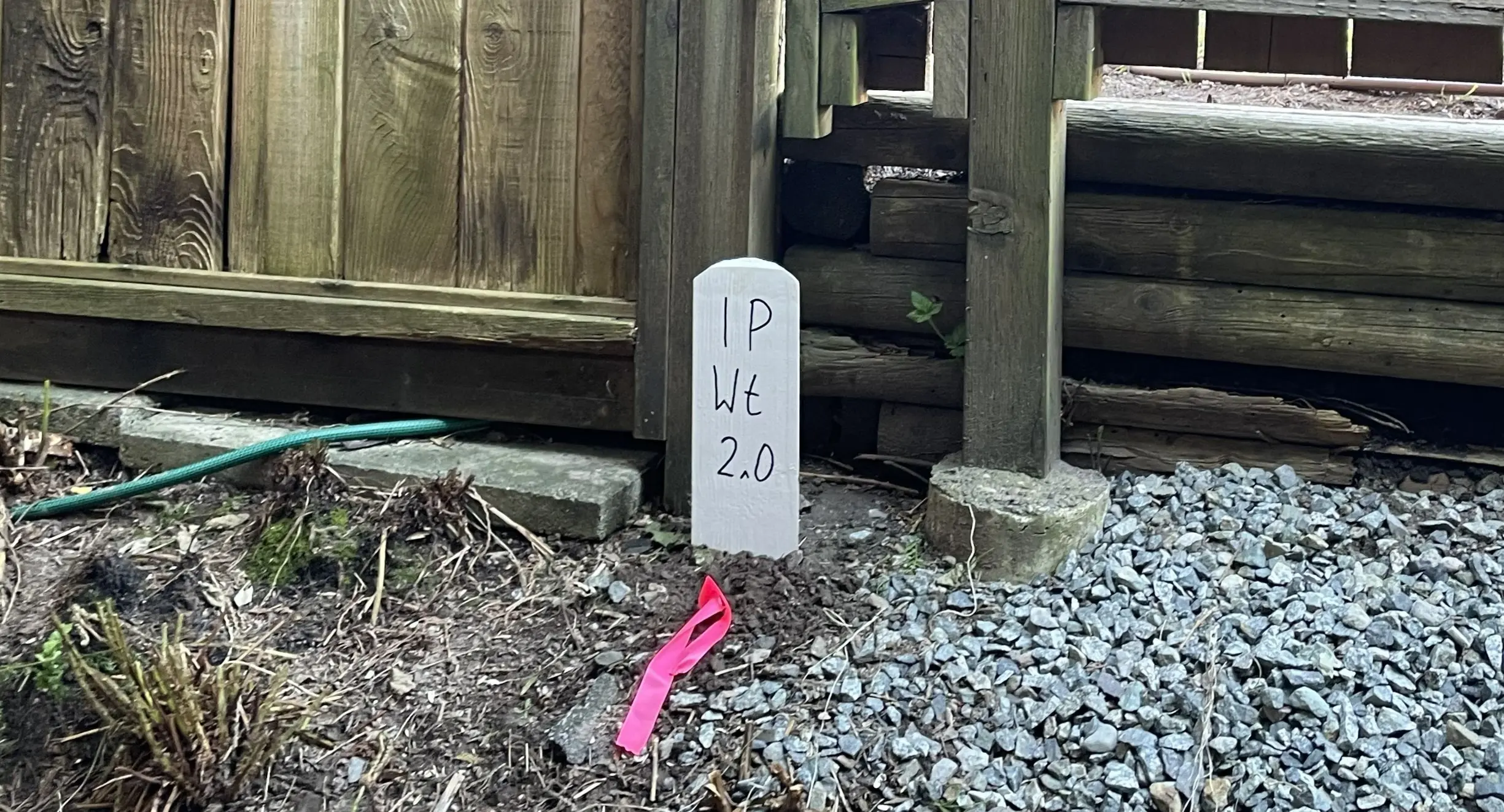
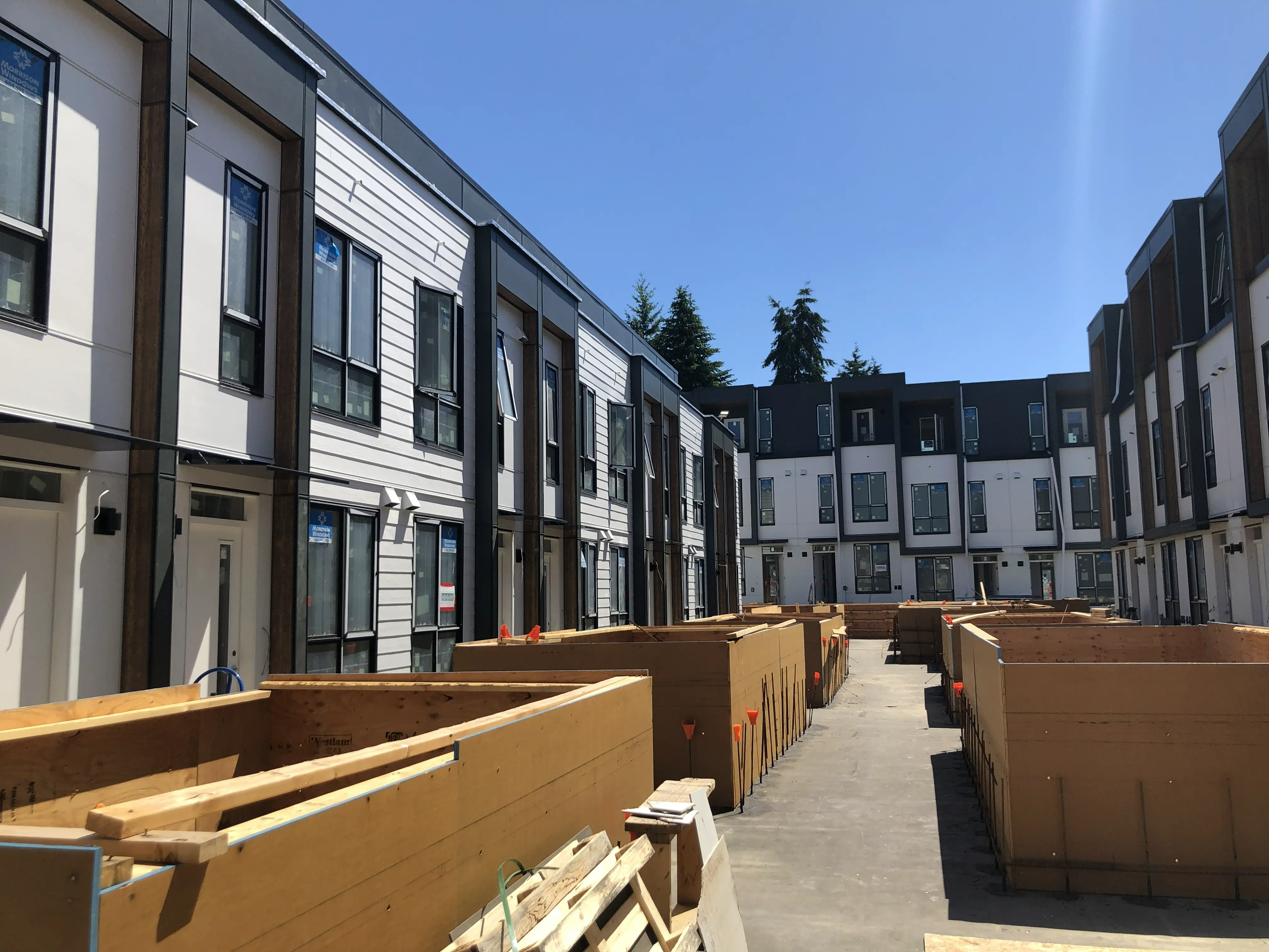
While the exterior boundaries of the parent parcel must be rigorously re-established, the ABCLS Survey and Plan Rules specifically recognize the transitional nature of phased developments. Under Rule 7-6(1), internal phase boundaries do not require physical posting, as they will dissolve when subsequent phases are registered. However, under Rule 7-3(3), any parent parcel corners relevant to the phase under survey that have been destroyed by construction must be physically reset in the ground. The architectural complexity and stage of construction directly impact the scope of field work and the time required to complete the survey. Utilizing Robotic Total Stations and Terrestrial LiDAR, our crews meticulously measure the exterior building perimeter and all interior walls of the current phase to adjudicate the true 3D boundaries before the building is fully occupied.
Plan Preparation
Our drafting technicians translate the precise 3D field data into a highly regulated Phased Strata Plan. In accordance with Rule 7-13, the plan must show the limits of the phase boundaries with complete bearings and distances, delineated by a solid black line between 1 and 1.5 mm in width. Mandatory statutory notations, including references to the Approving Officer and the Form P common facilities, are added pursuant to Rules 7-14 and 7-15. As your certifying professional, the BCLS electronically signs the Survey Plan Certification using a secure digital certificate. Once the Approving Officer endorses the phase via Form Q, the complete package is submitted to the LTSA, where the Registrar reviews and registers the plan, triggering the interim subdivision and raising the new indefeasible titles.
What professional documents and markers do you receive upon project completion?
What professional documents and markers do you receive upon project completion?
Certified Legal Phased Strata Plans
Digitally certified statutory PDF plans ready for deposit in the Land Title Register to create your new indefeasible strata titles.
Form P and Form Q Documentation
Preparation of the sketch plan for the Phased Strata Plan Declaration (Form P) and coordination of the Approving Officer's Endorsement (Form Q).
Topographic 3D CAD Files
digital drafting files (DWG/DXF) extracting the layout of internal walls, phase boundaries, and building perimeters for spatial planning.
Point Clouds and Orthoimages
Dense 3D Terrestrial LiDAR scan data and high-resolution aerial drone imagery providing a complete digital twin of the project site.
Frequently Asked Questions
Get answers to common questions about our land surveying services.
Local Resources for the Sea to Sky
Where can you find official topographic and permit checklists for the Sea to Sky?
Service Gallery
Field photos, survey plans, and technical captures from our projects.