Terrestrial LiDAR Scanning in Whistler
Professional Terrestrial LiDAR Scanning in Whistler, capturing high-density digital twins and millimeter-accurate 3D point clouds of complex architectural facades, mechanical plants, and civil works.
When undertaking intricate architectural retrofits, mapping highly detailed heritage facades, or analyzing complex infrastructure in Whistler, conventional surveying methods may lack the density and speed required to capture the complete physical reality of your site. Terrestrial LiDAR (3D laser scanning) is a reality capture technology that performs hundreds of thousands of high-precision measurements per second, generating a accurate, colorized 3D point cloud of the as-built environment.
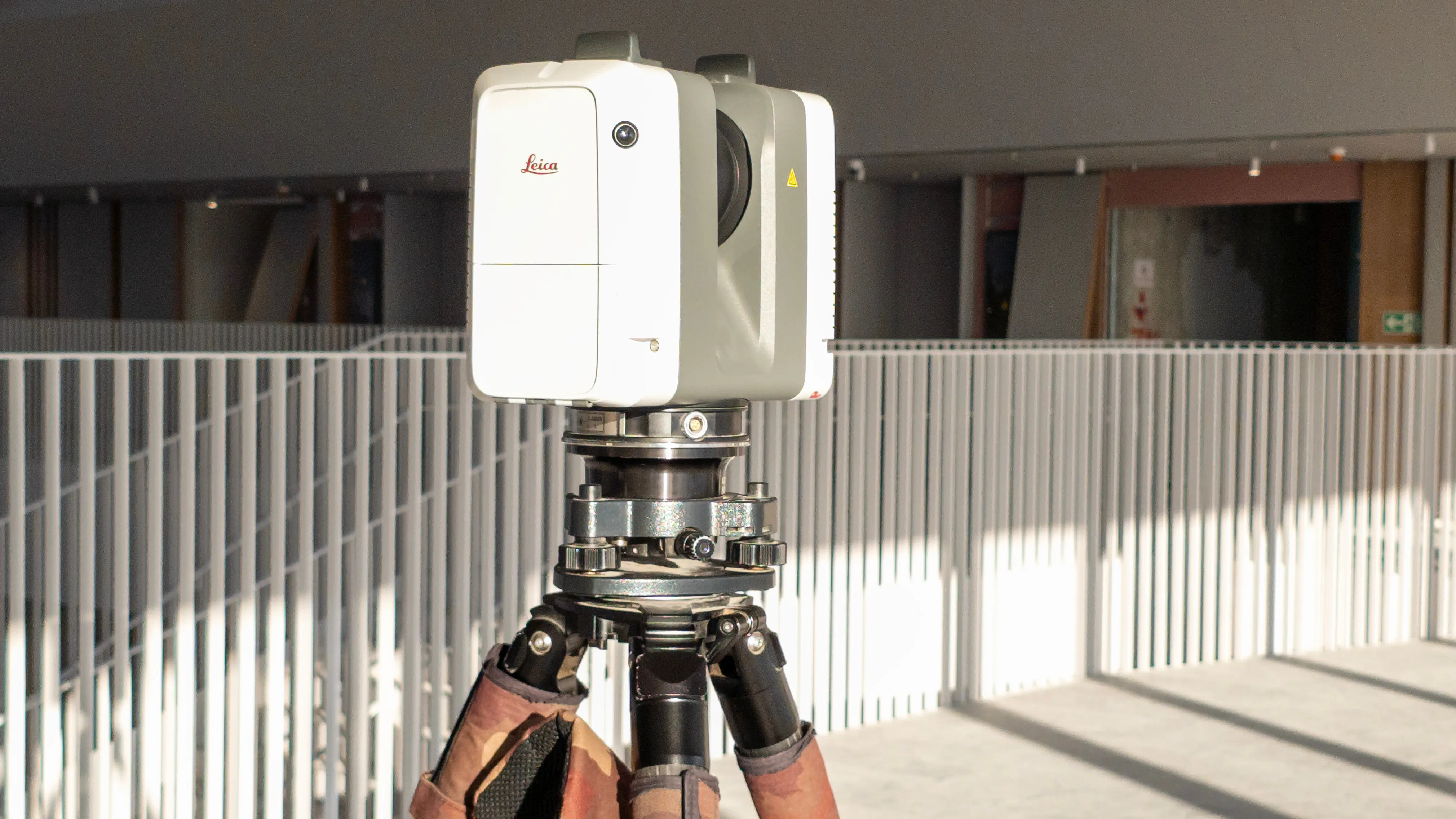
Tantalus Geomatics Land Surveying accurately integrates 3D scanning data within our broader set of Land Surveying and Geomatics services. We adhere to strict regulatory requirements and data quality standards, allowing us to integrate 3D scanning data of your site into the project's reference coordinate system, providing you with millions of dense, high accuracy, colorized data points and full-colour panoramic images that capture the micro-details of the site.
Why Choose Tantalus Geomatics?
Our team combines local Whistler expertise with state-of-the-art surveying technology. We deliver highly accurate, BCLS-certified plans that streamline your municipal permit approvals and protect your property investments.
Other Construction Surveys
Our Terrestrial LiDAR Scanning Process in Whistler
How do we ensure accuracy and efficiency in our land surveying projects?
Research
Our team begins by identifying the scanning subject matter and identifying the locations of existing site control points, allowing us to determine the optimal scan parameters required to achieve the desired scan density and the proposed level of accuracy. Since LiDAR captures everything in its line of sight, understanding the context and layout of the site beforehand allows us to plan an efficient scanning campaign that focuses precisely where the design, engineering and boundary requirements intersect.
Field Work
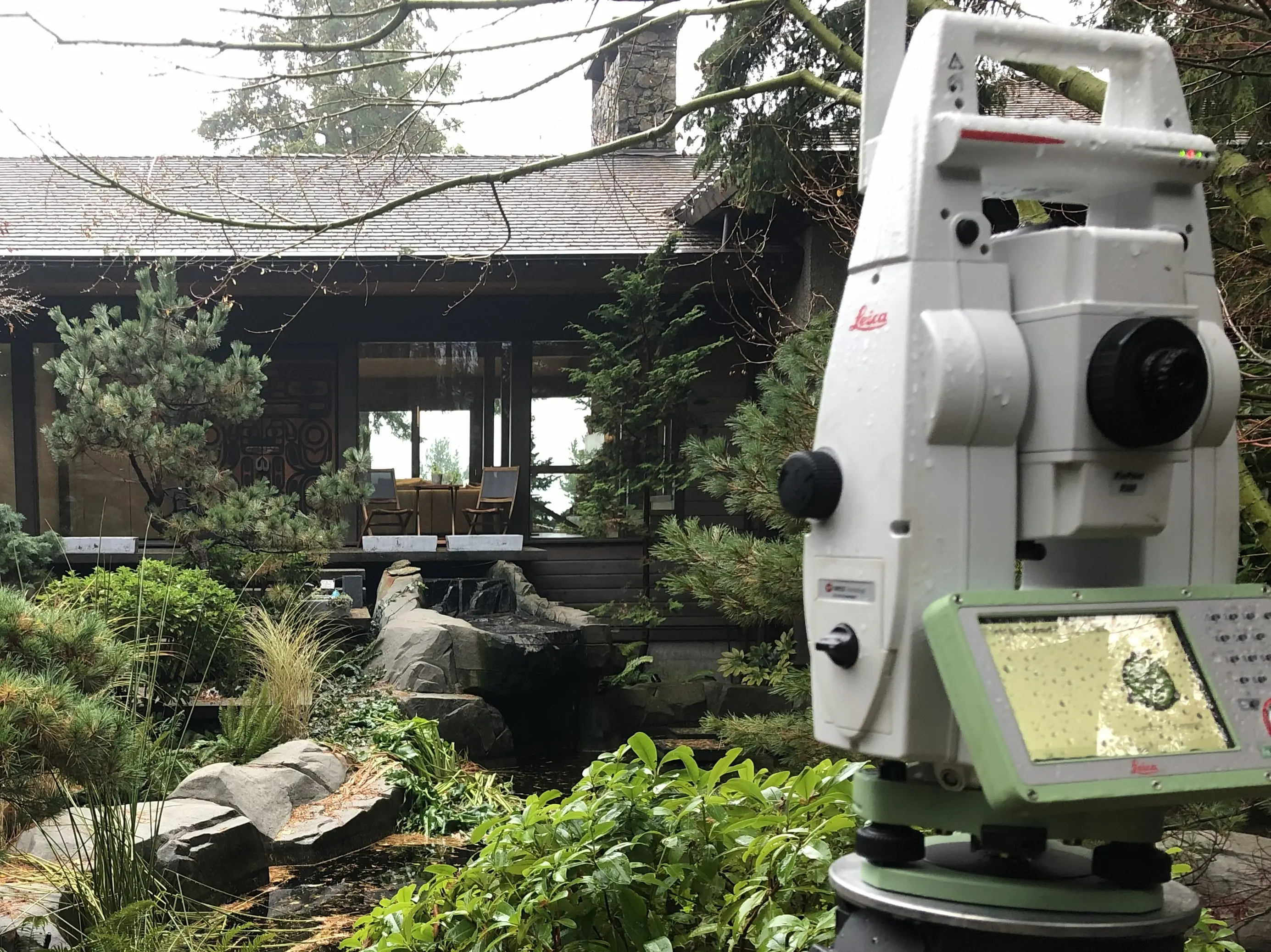
Upon arriving at your site, our survey crews must first locate and confirm the legal survey monuments and site control points required to tie the scanning data to the project's reference coordinate system. The density of the infrastructure, the line of sight, and the required level of detail directly impact the scope of the field work, the number of scanner setups required, and the time to complete the survey. By integrating our Robotic Total Stations and GNSS equipment, we establish scanning targets that relate each scan to the project's reference coordinate system. Our professional Terrestrial LiDAR scanning technicians then scan the site, collecting millions of data points across structures, retaining walls, and topography.
Plan Preparation
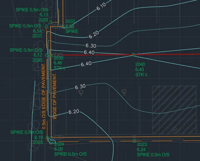
Our technologists process the millions of points generated by the scanner into useable digital information and relates it to the project's reference coordinate system. For integration into engineering software like Civil 3D, we meticulously filter the point cloud to remove non-essential points, eliminate noise, and extract critical survey figures and breaklines, keeping the surface definitions optimized. The technologist then translates this rich 3D data into certified plans, such as a Plan of Topography, a Site Plan, or a sketch of earthwork estimates.
What professional documents and markers do you receive upon project completion?
Certified PDF Plans
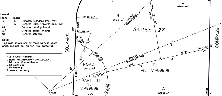
Digitally signed and sealed Plans of Topography or Site Plans, accurately depicting the scanned features, structures, and contours accurately related to your legal property boundaries.
Topographic 3D CAD Files
digital CAD drawings (DWG/DXF/XML) containing extracted 3D linework, breaklines, and TIN surface models for integration by your design team.
Point Clouds and Orthoimages
Formatted point cloud files (such as LAS files containing intensity and RGB colour values) and high-resolution panoramic images, providing a complete, digital model of your project site.
Clearance and Deformation Reports
Specialized geometric analysis reports utilizing the point cloud to calculate floor flatness, earthwork volume estimates, or monitor structural settlement.
Frequently Asked Questions
Get answers to common questions about our land surveying services.
Local Resources for Whistler
Where can you find official topographic and permit checklists for Whistler?
Service Gallery
Field photos, survey plans, and technical captures from our projects.