Strata Surveys in Whistler
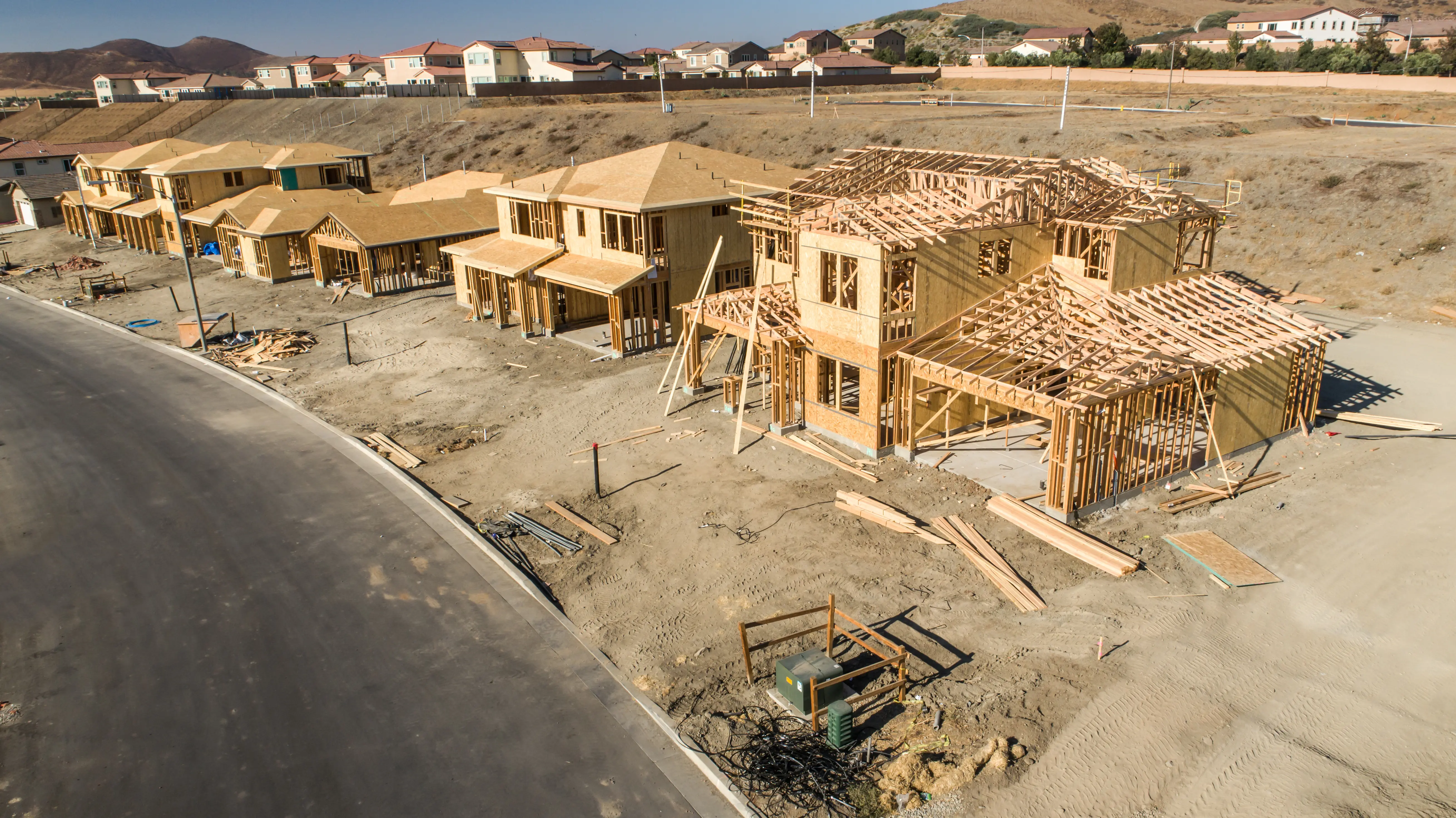
Professional Strata Surveys in Whistler, creating strata lots, common property and limited common property to define ownership boundaries within strata-titled residential or commercial developments.
Over the lifespan of a development in Whistler, the Strata Property Act provides a powerful mechanism to create individual ownership of units while maintaining communal governance over common property. Creating or altering strata lots is a complex and strictly regulated process. Tantalus Geomatics Land Surveying provides the professional services necessary to support all aspects of your strata development, from the initial planning to strata plan certification.
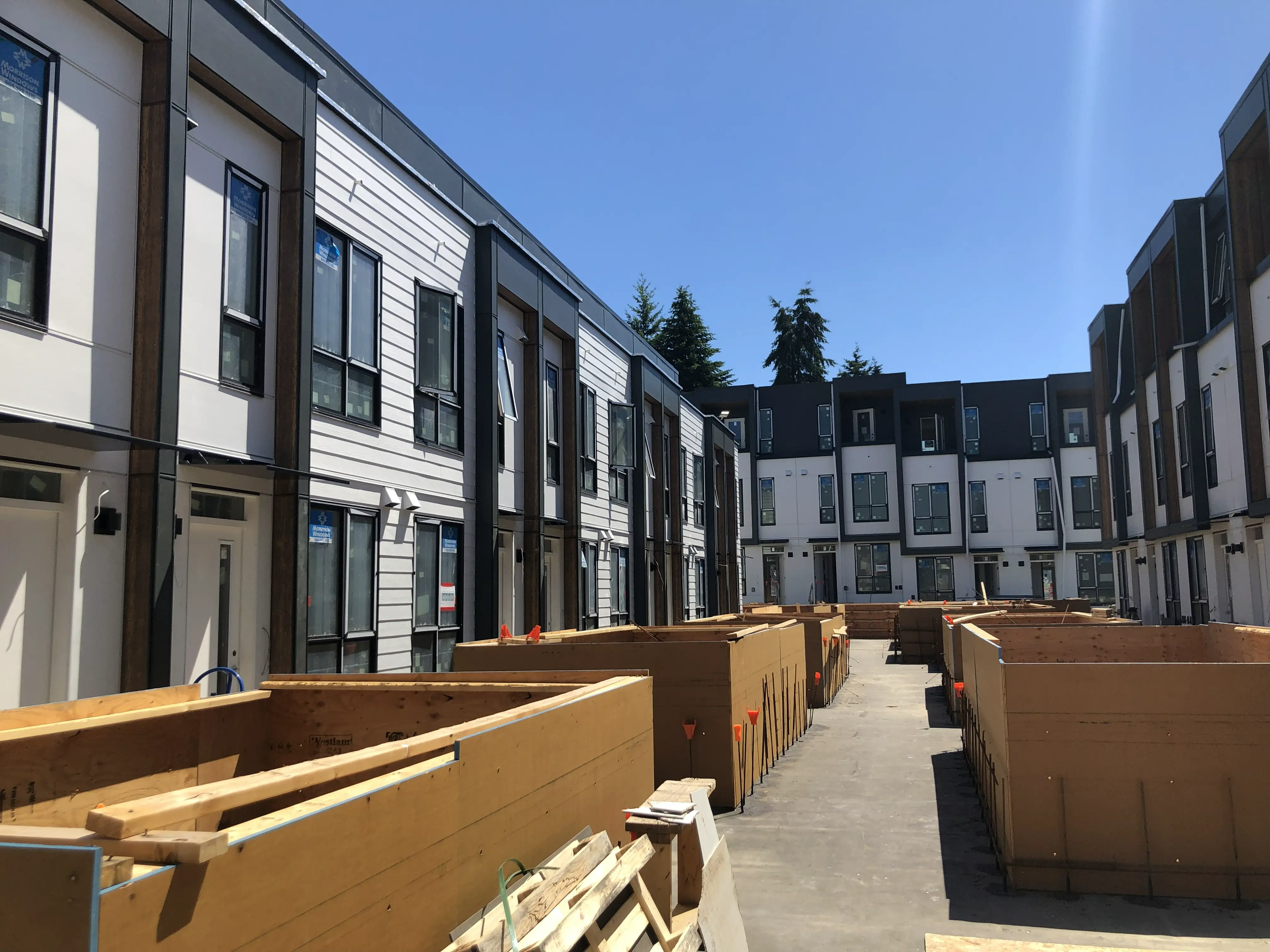
Our comprehensive strata surveying services cover all classifications of strata developments, offering solutions tailored to your specific project need including support for Building Strata developments, Bare Land Strata developments, Phased Strata developments, and Strata Plan Amendments. We guide developers and strata corporations through voting and registration requirements, interpreting strata bylaws, defining extents of strata lots and limited common property (LCP), and converting common property to other ownership forms by preparing amending sheets for LTSA registration.
Why Choose Tantalus Geomatics?
Our team combines local Whistler expertise with state-of-the-art surveying technology. We deliver highly accurate, BCLS-certified plans that streamline your municipal permit approvals and protect your property investments.
Other Commercial Surveys
Our Strata Surveys Process in Whistler
How do we ensure accuracy and efficiency in our land surveying projects?
Research
The BC Land Surveyor gathers historical plans, Crown grants, field notes, and active title records from the Land Title and Survey Authority of British Columbia (LTSA). For strata surveys, we review the parent parcel to guarantee it complies with Section 240 of the Strata Property Act, ensuring all underlying boundary discrepancies or natural boundary changes have been resolved under the Land Title Act. We also analyze architectural design drawings, disclosure statements, and registered encumbrances to ensure your proposed strata layout matches existing legal boundaries and promises made to purchasers.
Field Work
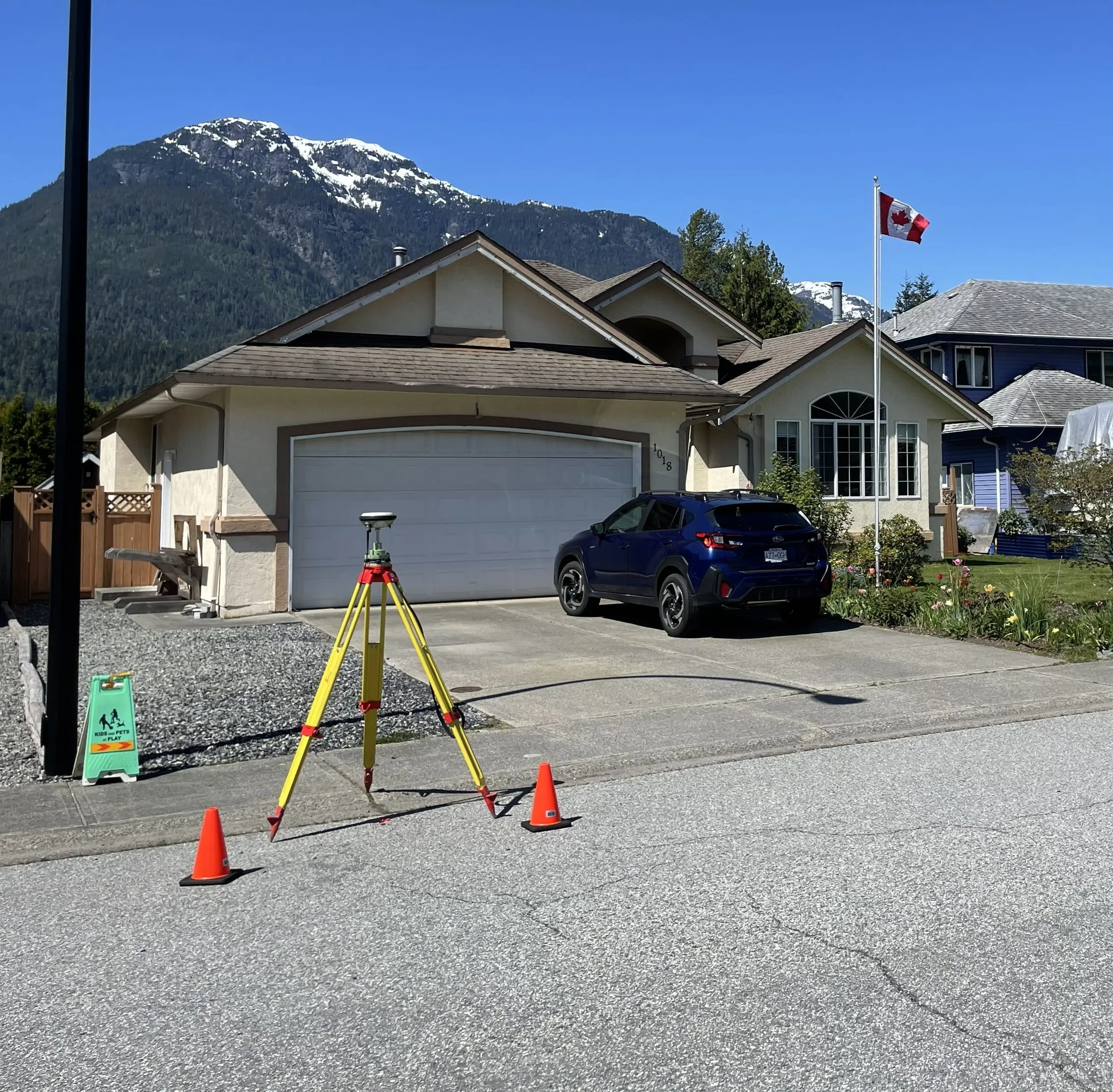
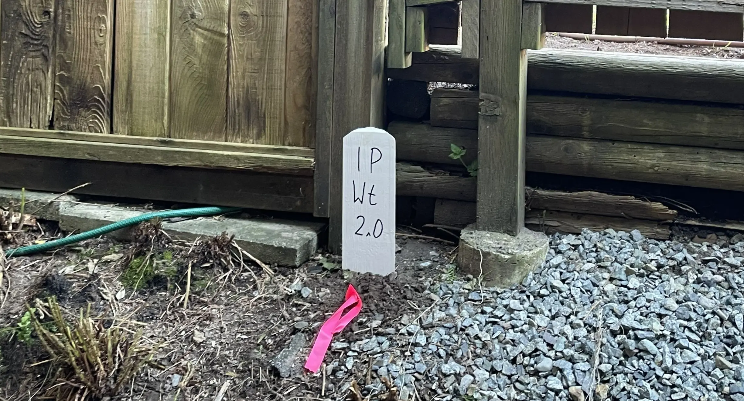
The scope of field work and the time required to complete the survey are impacted by the scale of the development, the type of strata, and the stage of construction. For bare land stratas, our field crews must recover original survey monuments and physically place new markers into the ground to define the strata lot boundaries. Our crews utilize Robotic Total Stations, Distometers and Terrestrial LiDAR to capture the exact physical locations of all walls, floors, ceilings, limited common property extents, and the exterior building perimeter.
Plan Preparation
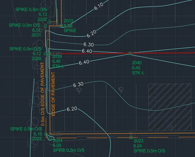
Our technologists draft the dense 3D field data into a highly regulated statutory Strata Plan in strict accordance with the ABCLS Survey and Plan Rules. Depending on the project, this may be a Building Strata Plan, a Bare Land Strata Plan, a Phased Strata Plan, or a specific Amending Sheet. The BCLS then reviews and certifies the plan, and works with your legal counsel to submit the plans to the Approving Officer, as required, prior to registration with the LTSA.
What professional documents and markers do you receive upon project completion?
Certified Legal Strata Plans
Digitally certified PDF plans (Building, Bare Land, Phased, or Amending Sheets) ready for deposit in the LTSA to create your new indefeasible strata titles.
Schedules of Unit Entitlement and Voting Rights
Certified Form V and Form W documents, legally required to establish the proportional ownership, expense liabilities, and voting power of each strata lot owner.
Topographic 3D CAD Files
digital CAD drawings (DWG/DXF) depicting the layout of walls and boundaries, used by architects, interior designers, and engineers for design and planning.
Point Clouds and Orthoimages
Dense 3D Terrestrial LiDAR scan data and high-resolution aerial imagery providing a complete, digital model of the building's as-built condition.
Frequently Asked Questions
Get answers to common questions about our land surveying services.
Local Resources for Whistler
Where can you find official topographic and permit checklists for Whistler?
Service Gallery
Field photos, survey plans, and technical captures from our projects.