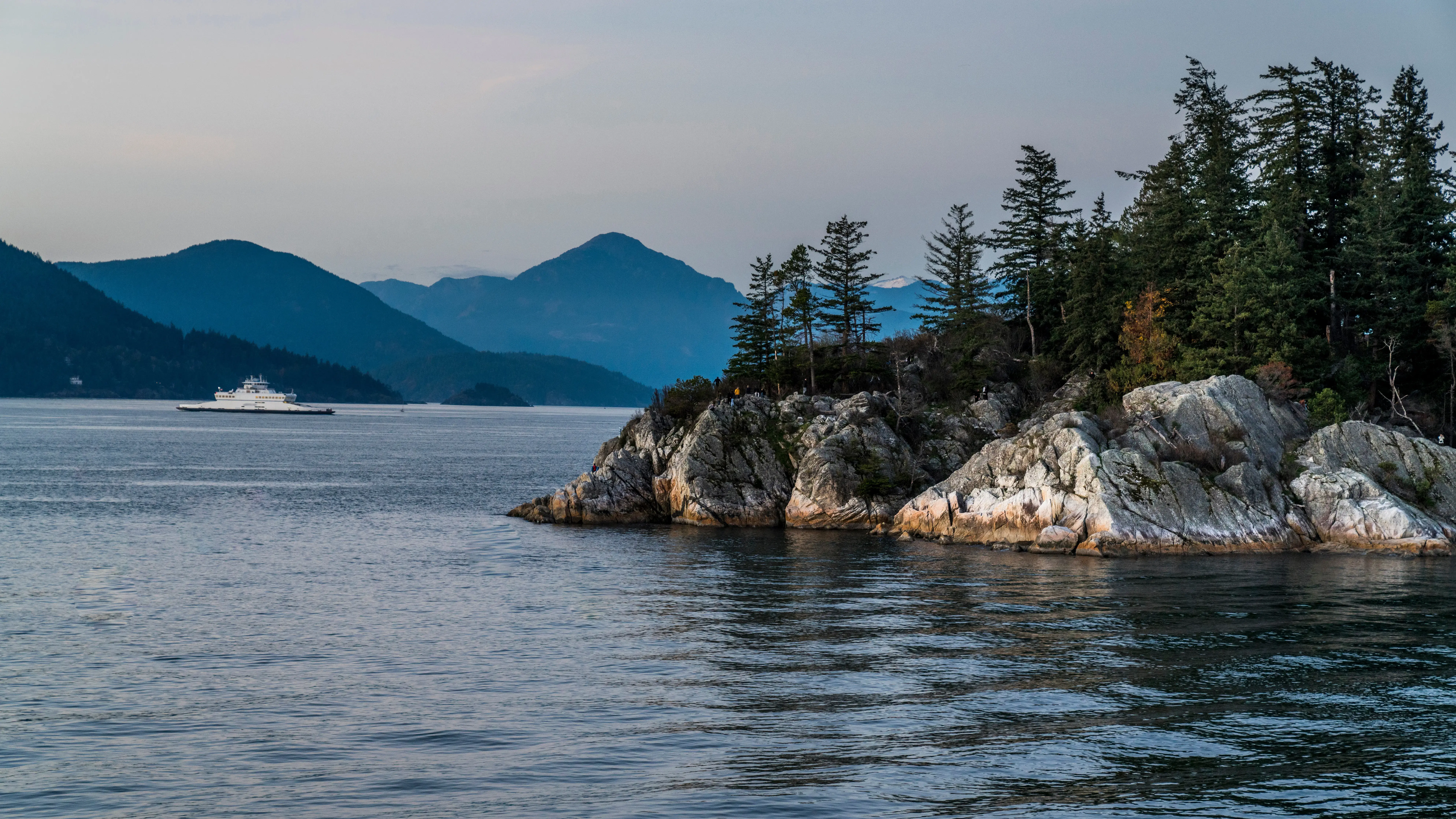
Natural Boundary Surveys in the Sea to Sky
Professional Natural Boundary Surveys in the Sea to Sky, identifying riparian setbacks, high-water marks, present natural boundaries and changes due to accretion or erosion limits.
In the Sea to Sky, properties bordering oceans, lakes, and rivers represent some of the most valuable real estate, but their waterfront limits are highly dynamic. A "natural boundary" is legally defined under the Land Act as the visible high water mark where the presence and action of water are so common and usual, and so long continued in all ordinary years, as to mark on the soil of the bed of the body of water a character distinct from that of its banks in vegetation, as well as in the nature of the soil itself. Natural boundaries are considered ambulatory. In other words, natural boundaries change over time through slow, imperceptible processes like accretion (the gradual deposition of new land) and erosion (the gradual washing away of land). By common law, lawful accretion belongs to the upland owner, while eroded land reverts to the owner of the water body, generally the provincial Crown. In contrast, a sudden, perceptible change in a watercourse, known as avulsion, does not alter the legal property limits. Furthermore, artificial modifications, such as the placement of fill or retaining walls on the foreshore, do not constitute lawful accretion, and the true natural boundary remains in its location immediately prior to the interference.
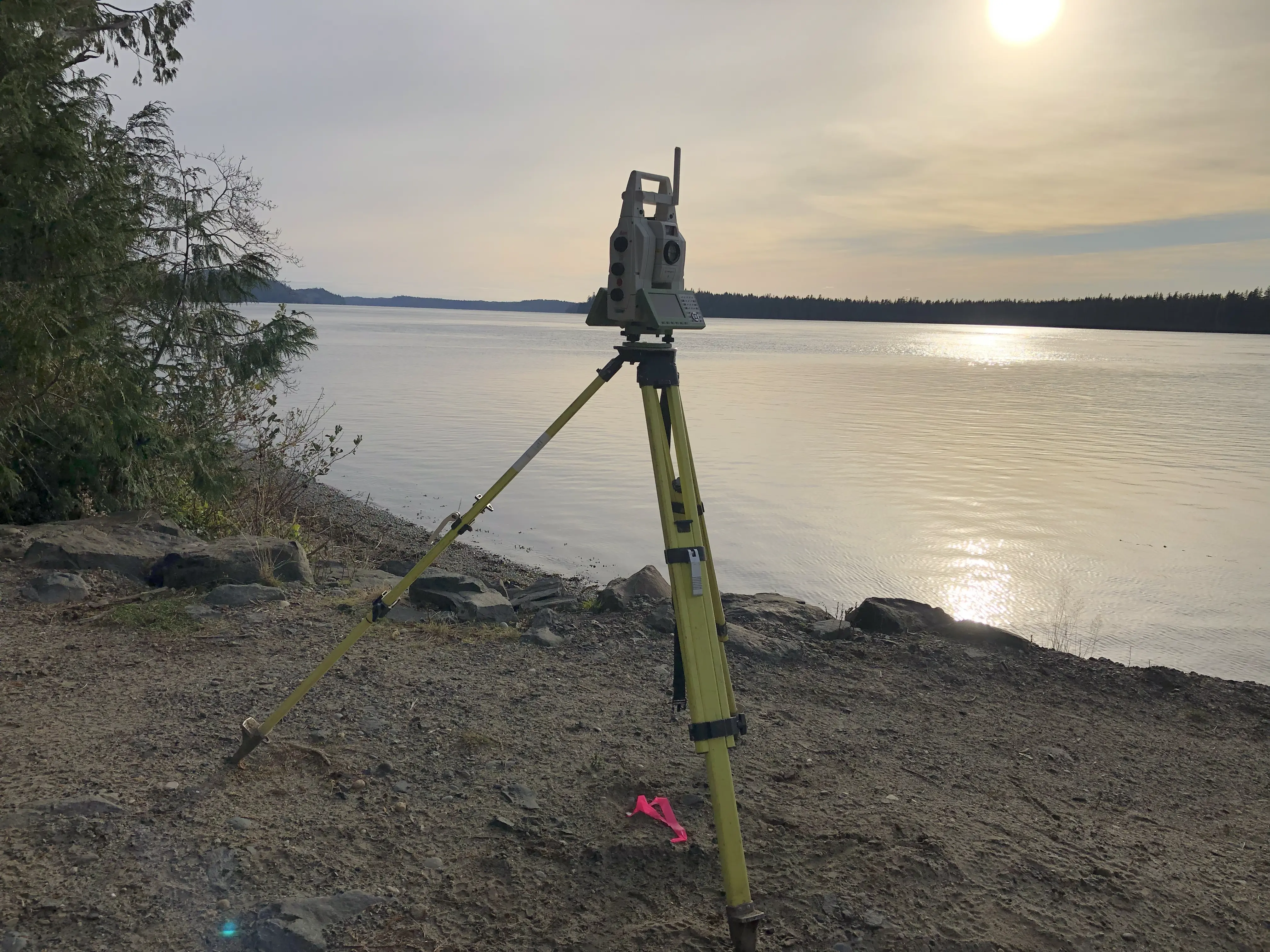
Defining these ambulatory limits requires adherence to the Land Survey Act, the Land Title Act, and the Land Act, in addition to the Association of British Columbia Land Surveyors (ABCLS) Survey and Plan Rules. When a natural boundary has moved or has been depicted incorrectly on historical documents, Section 94 of the Land Title Act provides the administrative mechanism to legally update the survey plan upon which the title is based, ensuring your title accurately reflects your current extent of ownership.
Why Choose Tantalus Geomatics?
Our team combines local Sea to Sky expertise with state-of-the-art surveying technology. We deliver highly accurate, BCLS-certified plans that streamline your municipal permit approvals and protect your property investments.
Our Natural Boundary Surveys Process in the Sea to Sky
How do we ensure accuracy and efficiency in our land surveying projects?
Comprehensive Cadastral Research
The British Columbia Land Surveyor (BCLS) retrieves original Crown grants, historical field notes, old aerial photographs, and active title records from the Land Title and Survey Authority of British Columbia (LTSA). We meticulously determine if the waterbody was originally included or excluded from the grant and whether there is any evidence of sudden or human influenced changes to the natural boundary. If your natural boundary has changed due to lawful accretion or erosion, or if there is a discrepancy regarding the depiction of the natural boundary on the original subdivision plan, an application under Section 94 of the Land Title Act is submitted to the surveyor general for a Natural Boundary adjustment.
Field Work and Boundary Adjudication
Our survey crews investigate all evidence of the natural boundary to determine it's exact location. The density of riparian vegetation, ruggedness of the terrain, and presence of unauthorized fill directly impact the scope of field work and the time required to complete the survey. The BCLS then legally adjudicates the true boundary lines by applying the common law hierarchy of evidence and assessing whether the changes in the shoreline were caused by accretion, erosion, avulsion, or artificial fill.
Plan Preparation and Statutory Registration
Our technologists translate the precise field data into a highly regulated statutory plan, such as a Subdivision or Reference Plan. The BCLS reviews and certifies the plan, confirming that the boundary depicted is the true natural boundary. If the plan involves an accretion or natural boundary adjustment application, the complete package is submitted to the Surveyor General for review and approval.
What professional documents and markers do you receive upon project completion?
Certified Legal Plans
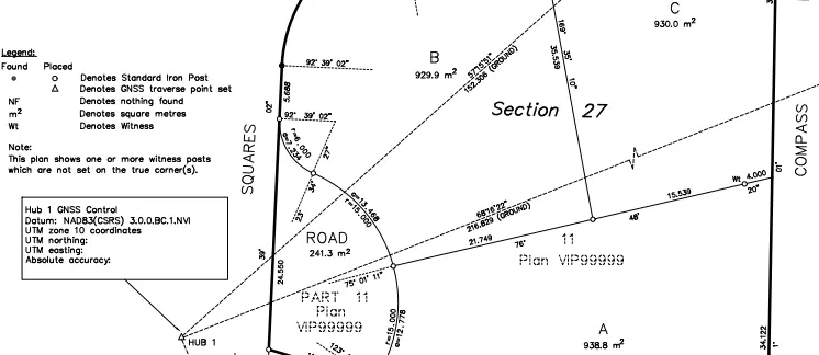
Digitally certified PDF Reference Plans or Subdivision Plans, fully compliant with LTSA and Surveyor General standards, ready for legal deposit to update your waterfront title.
Topographic 3D CAD Files
CAD drawings (DWG/DXF) depcting the exact present natural boundary, limits of fill, and site topography for integration by your architects and environmental engineers.
Point Clouds and Orthoimages
Dense 3D Terrestrial LiDAR scan data and high-resolution aerial drone imagery providing a complete digital twin of the shoreline.
Property Corner Monumentation
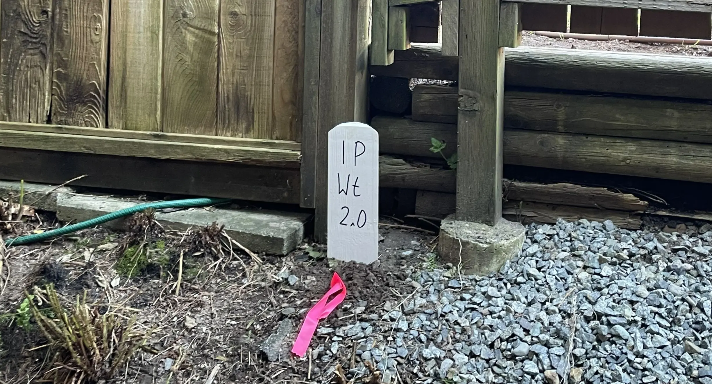
Standard iron posts or rock posts securely set in the ground on the upland parcel side boundary lines to reference the intersection with the natural boundary.
Frequently Asked Questions
Get answers to common questions about our land surveying services.
Local Resources for the Sea to Sky
Where can you find official topographic and permit checklists for the Sea to Sky?
Service Gallery
Field photos, survey plans, and technical captures from our projects.