Environmental And Riparian Surveys in the Sea to Sky
Professional Environmental And Riparian Surveys in the Sea to Sky, delivering certified legal boundary definitions, advanced geomatics positioning, and professional municipal development compliance mapping.
In the Sea to Sky, developing land near sensitive ecosystems, managing natural watercourses, or remediating contaminated sites requires precise spatial data and strict adherence to overlapping provincial environmental legislation. Whether you are working alongside Qualified Environmental Professionals (QEPs) to map critical fish habitat, or delineating the exact spatial limits of a contaminated site for a Site Disclosure Statement, absolute spatial certainty is primary.
At Tantalus Geomatics Land Surveying, we navigate the requirements of the Riparian Areas Protection Act and the Riparian Areas Protection Regulation, ensuring that riparian assessment areas and SPEA setbacks are accurately marked to protect the natural features, functions, and conditions that support protected fish populations. Additionally, for industrial or commercial sites, we support your compliance with the Environmental Management Act by precisely locating boundaries for preliminary site investigations, detailed site investigations, and remediation plans, which are subsequently recorded in the provincial Site Registry. We also prepare any necessary metes and bounds descriptions for various environmental purposes when they form a required part of your project's documentation.
Why Choose Tantalus Geomatics?
Our team combines local Sea to Sky expertise with state-of-the-art surveying technology. We deliver highly accurate, BCLS-certified plans that streamline your municipal permit approvals and protect your property investments.
Our Environmental And Riparian Surveys Process in the Sea to Sky
How do we ensure accuracy and efficiency in our land surveying projects?
Research
The BCLS accesses the current Certificates of Title, historic survey plans and relevant charge documents. We review all registered encumbrances, paying special attention to existing Section 219 conservation covenants that may already mandate the preservation of natural, environmental, or wildlife amenities on the land. Additionally, we review any relevant legislation that may impact how we depict your site on the survey plan.
Field Work
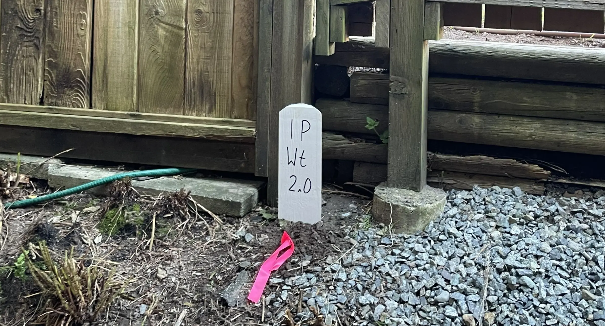
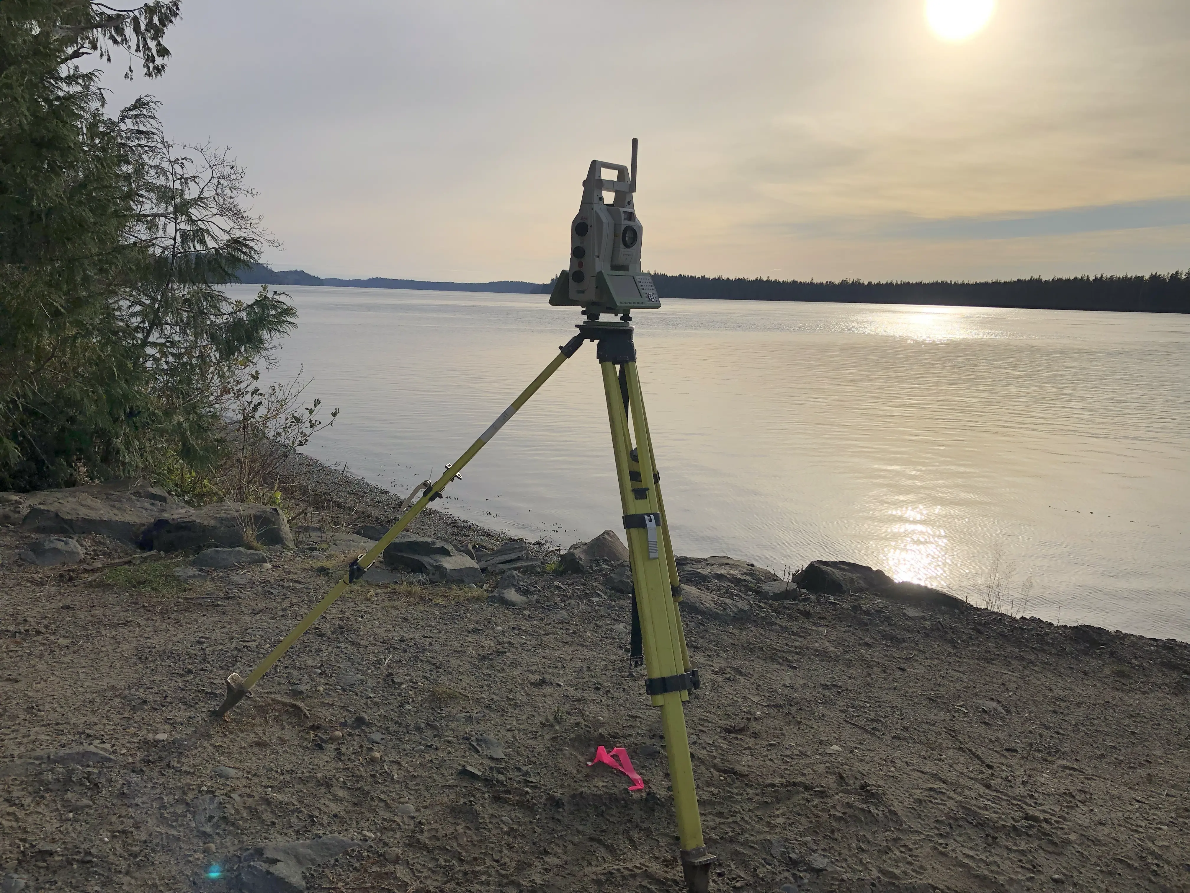
Upon arriving at your site, our survey crews first conduct a physical search to recover the legal survey monuments that define your parcel's boundaries. The density of the vegetation, the location and extent of watercourses, the ruggedness of the terrain, and the specific environmental constraints directly impact the scope of the field work and the time required to complete the survey. We measure the 3D coordinates of all required features identified by the project's Qualified Environmental Professional.
Plan Preparation
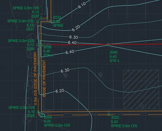
Our technologists translate the 3D field data into highly detailed statutory or non-statutory plans. Typically, this results in a comprehensive Plan of Topography or a Site Plan that illustrates the property boundaries, the natural watercourses, the calculated Streamside Protection and Enhancement Area (SPEA) offsets, and contour lines. If the survey is intended to register a new restrictive covenant area, the BCLS will prepare a formal Reference Plan or Explanatory Plan under the Land Title Act. The BCLS reviews and certifies the plan, and coordinates with your project team to deliver the plan to the relevant approving authorities.
What professional documents and markers do you receive upon project completion?
Certified PDF Plans
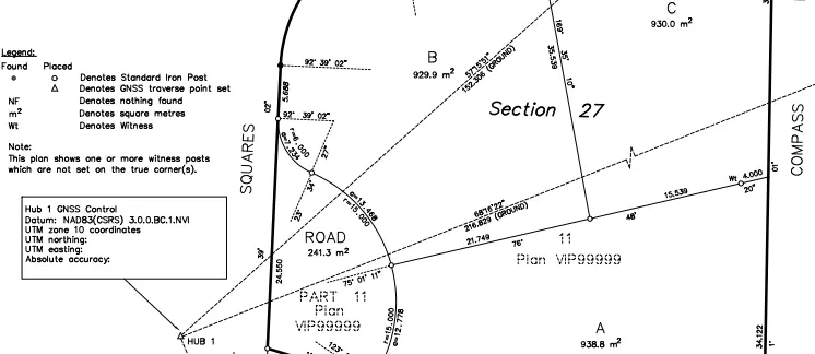
Digitally signed and sealed Plans of Topography, Site Plan, Explanatory Plan, Metes and Bounds Description, or Reference Plans, explicitly detailing the locations of riparian setbacks, environmental covenants, and watercourses relative to the legal property lines.
Topographic 3D CAD Files
CAD Drawing (DWG/DXF) depicting the exact locations of the top of bank, SPEA limits, and site topography for integration by your architects and Qualified Environmental Professionals.
Point Clouds and Orthoimages
Dense 3D Terrestrial LiDAR scan data and high-resolution aerial imagery providing a complete, digital model of the existing environmental conditions and vegetation.
Frequently Asked Questions
Get answers to common questions about our land surveying services.
Local Resources for the Sea to Sky
Where can you find official topographic and permit checklists for the Sea to Sky?
Service Gallery
Field photos, survey plans, and technical captures from our projects.