Boundary Surveys in the Sea to Sky
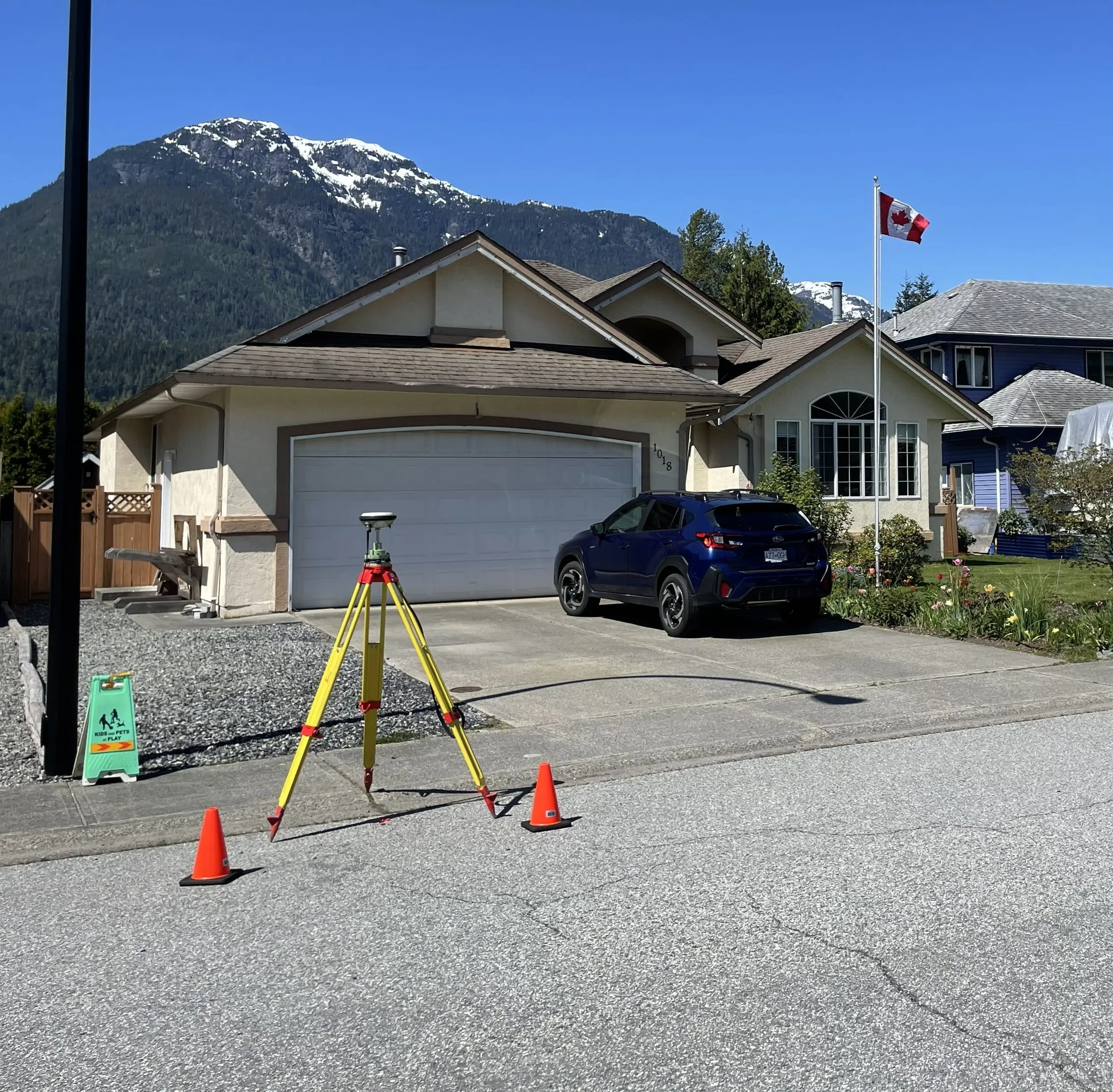
Professional Boundary Surveys in the Sea to Sky, re-establishing original survey monuments to mark legal boundaries ahead of major structural landscaping or home renovations.
Accurately establishing your property lines is foundational for any real estate transaction, fence construction, or land development project in the Sea to Sky. Relying on unlicensed contractors to "stake" a line exposes you to severe legal and financial liabilities. Whether you require a boundary survey to resolve a neighbour dispute or a staking survey for a construction layout, a commissioned BC Land Surveyor is the only professional qualified to determine, locate, define, establish, or re-establish property boundaries.
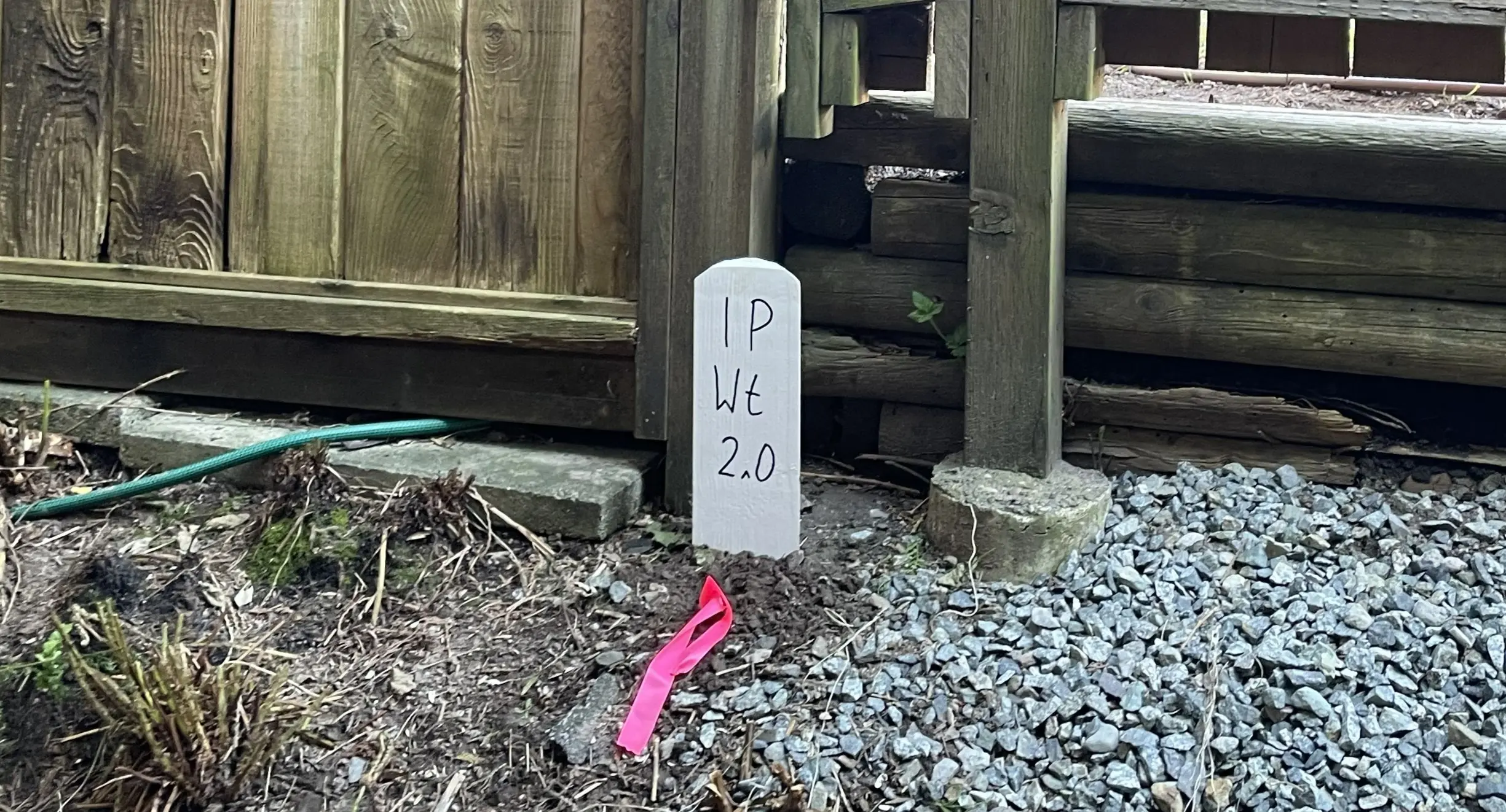
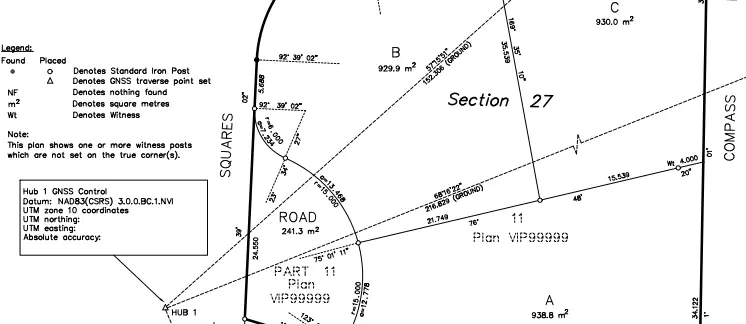
When clients request a "staking survey" to physically mark their property lines for a new fence or building footprint, and one or more corner posts are missing, professional standards and regulations mandate a formal boundary resolution process known as a posting survey. Under Section 68(1) of the Land Title Act, if the angle of a parcel is redefined on the ground by a post or monument, the redefinition must be made by a BCLS and shown on a Certified Posting Plan, which is filed in the Land Title Office within two months after completing the field work. This creates a permanent public record of the survey evidence, ensuring that your property lines are legally documented, highly transparent, and protected against future disputes. On occasion, the survey reveals significant boundary discrepancies compared to the underlying registered plan. Under these circumstances, we prepare a Reference Plan under Section 100(1)(a) of the Land Title Act to formally re-establish the boundaries and update the registered title.
Why Choose Tantalus Geomatics?
Our team combines local Sea to Sky expertise with state-of-the-art surveying technology. We deliver highly accurate, BCLS-certified plans that streamline your municipal permit approvals and protect your property investments.
Our Boundary Surveys Process in the Sea to Sky
How do we ensure accuracy and efficiency in our land surveying projects?
Research:
The BC Land Surveyor retrieves current Certificates of Title, historical subdivision plans, original Crown grants, and surveyor field notes from the Land Title and Survey Authority of British Columbia (LTSA). We meticulously review all registered charges, such as statutory rights of way and easements, to confirm any legal encumbrances on your parcel is mapped and evaluated before our crews arrive on site.
Field Work:
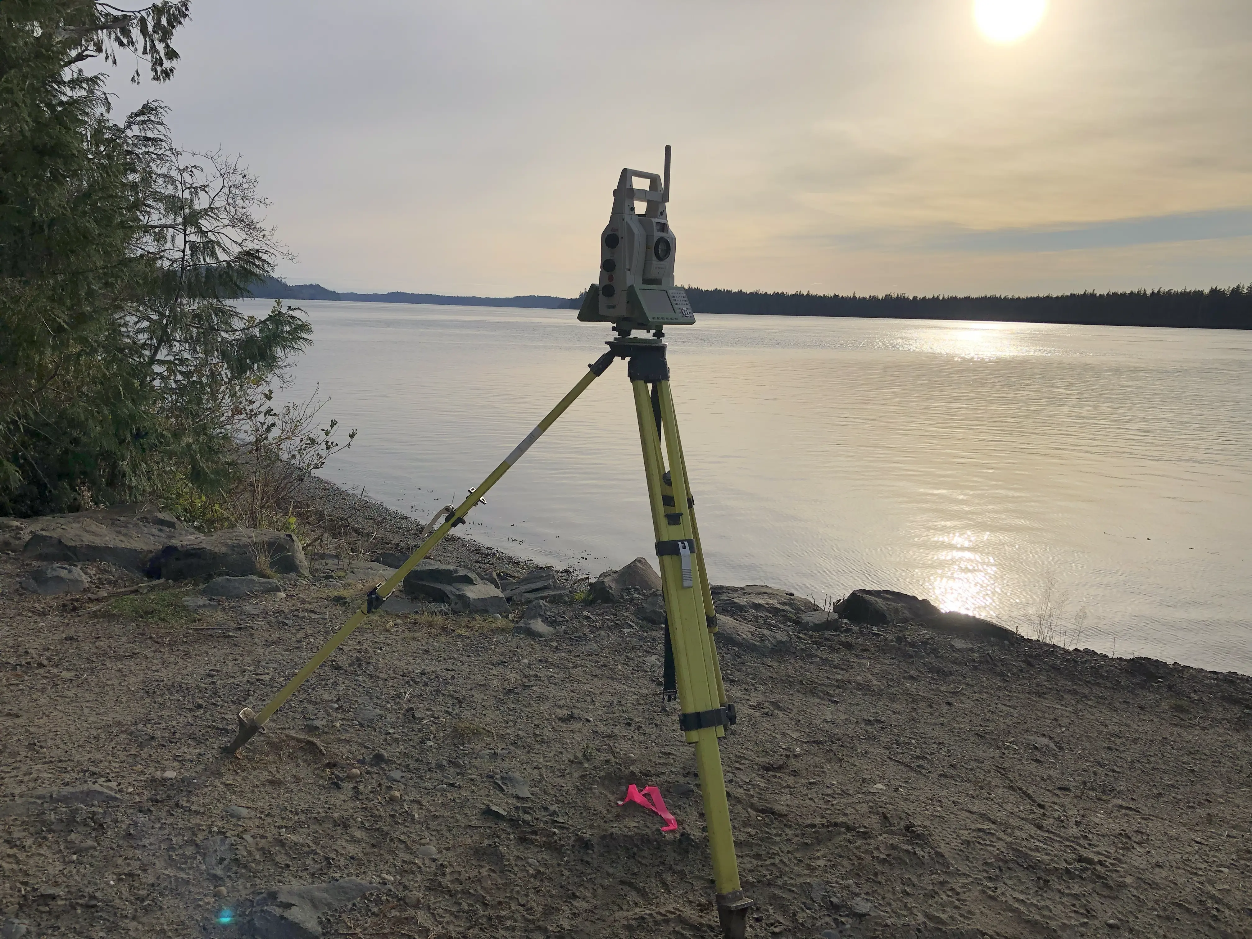
Our survey crews conduct a physical search to recover original survey monuments (such as standard iron posts or lead plugs) and ancillary evidence like bearing trees and historical fences. The scope of the field work and the time required to complete the survey are directly impacted by the age of the original survey, the ruggedness of the terrain, and the density of the vegetation. The BCLS then determines the true boundary lines by applying the Hierarchy of Evidence and places durable monuments, such as standard iron posts, at the corners.
Plan Preparation:
Once the boundary has been staked and posted in the field, our drafting experts prepare the formal Posting Plan in strict accordance with the Association of British Columbia Land Surveyors (ABCLS) Survey and Plan Rules. The BCLS then reviews and certifies the plan, and files it in the land title office to permanently record the results of the survey.
What professional documents and markers do you receive upon project completion?
Certified Legal Plans
Digitally certified PDF Posting Plans or Reference Plans, filed with the LTSA.
Property Corner Monumentation
Standard iron posts, lead plugs, or rock posts securely driven into the ground to permanently mark (stake) the legal corners of your parcel.
Topographic 3D CAD Files
CAD Drawings (DWG/DXF) combining boundary data with site topography for use by your architects, civil engineers, or fencing contractors.
Frequently Asked Questions
Get answers to common questions about our land surveying services.
Local Resources for the Sea to Sky
Where can you find official topographic and permit checklists for the Sea to Sky?
Service Gallery
Field photos, survey plans, and technical captures from our projects.