BC Land Surveyors Building Location Surveys in the Sea to Sky
Professional BC Land Surveyors Building Location Surveys in the Sea to Sky, producing certified plans confirming foundations and structural improvements conform to legal property lines and municipal setback regulations.
A British Columbia Land Surveyor's Certificate of Location, often referred to as a Building Location Certificate, is a non-statutory plan prepared and signed by a licensed BC land surveyor that depicts the exact location of physical improvements and structural features situated on a parcel of land in relation to its legal boundaries. Additionally, these plans depict areas of your property that are burdened by registered legal charges, such as statutory rights of way, easements, and restrictive covenants, ensuring that your development does not infringe upon restricted areas. When constructing a new custom home, acquiring commercial real estate, or securing project financing in the Sea to Sky, these plans are a critical component of the process.
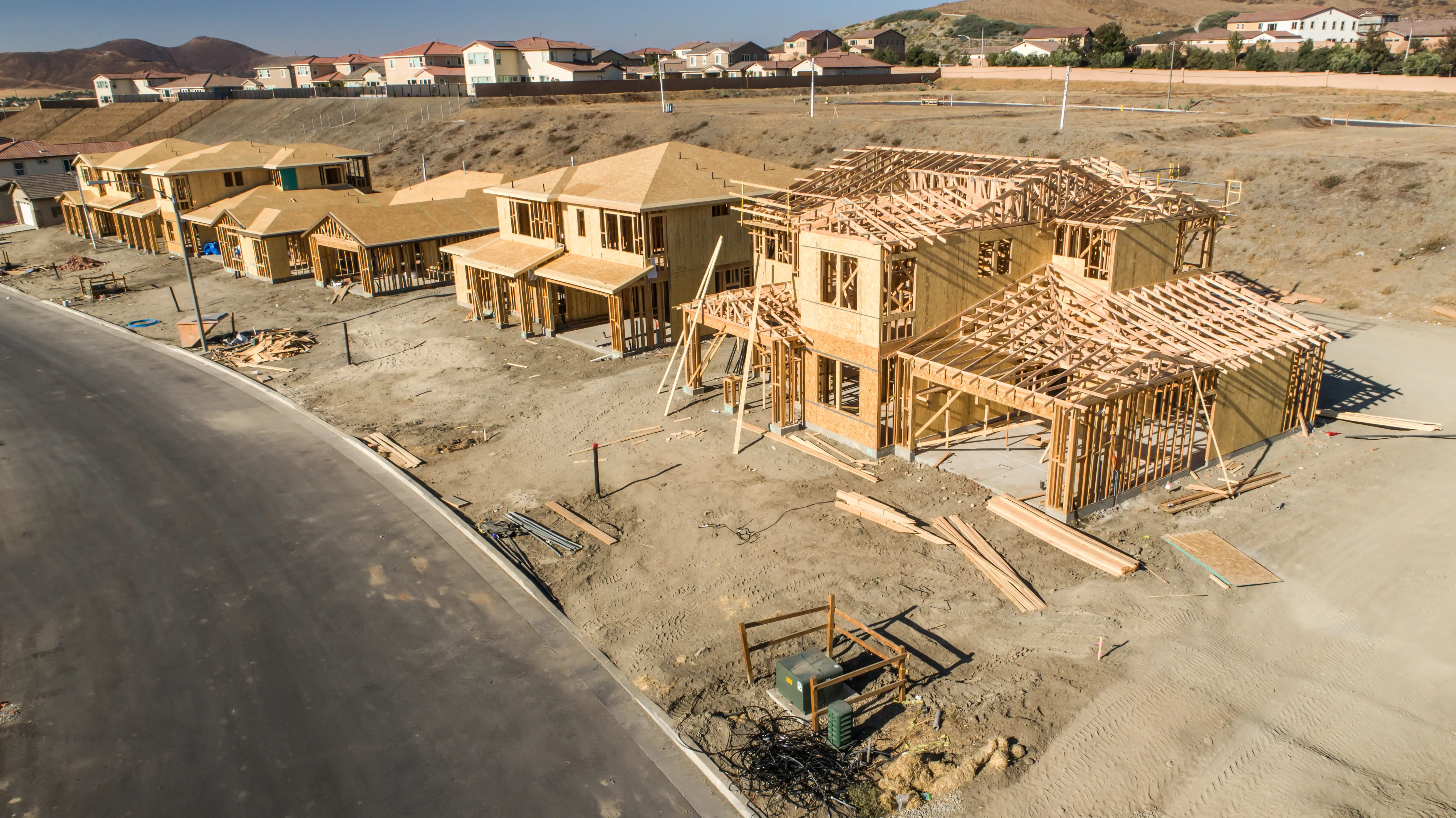
Only a British Columbia Land Surveyor (BCLS) is qualified to certify the true location of an improvement relative to a property boundary. Relying on unlicensed contractors or ASTTBC site improvement specialists exposes your project to risks, as they are strictly prohibited from referring to legal boundaries or property lines on their plans. Our professionals observe all relevant provincial and federal legislation, as well as the specific zoning and building bylaws of the local municipality in the Sea to Sky. Correctly identifying and labeling a structure's type is critical, as different architectural features carry vastly different municipal setback requirements; misrepresenting these can lead to failed inspections or halted construction.
Why Choose Tantalus Geomatics?
Our team combines local Sea to Sky expertise with state-of-the-art surveying technology. We deliver highly accurate, BCLS-certified plans that streamline your municipal permit approvals and protect your property investments.
Our BC Land Surveyors Building Location Surveys Process in the Sea to Sky
How do we ensure accuracy and efficiency in our land surveying projects?
Research
The BCLS conducts searches through the Land Title and Survey Authority of British Columbia (LTSA). They extract the current Certificate of Title, the registered subdivision plans that created the parcel, and all registered charges affecting the property. Crucially, our professionals also investigate potential "unregistered" interests that do not appear on the title, such as historic Crown grant reservations, rights within mineral tenures, or roads established by gazette notice.
Field Work
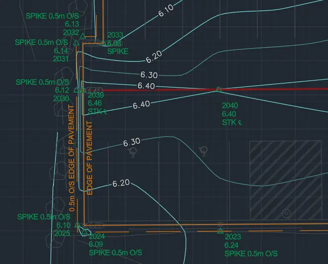
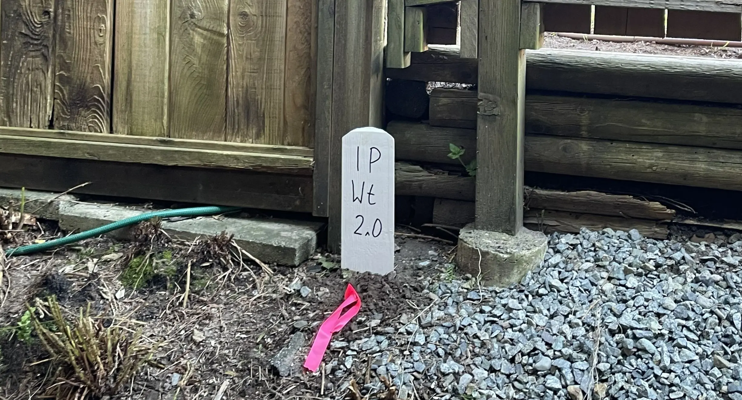
Upon arriving at your site, our survey crews conduct a physical search to recover the legal survey monuments that define your parcel's boundaries. The absence of property posts, the density of vegetation, and the presence of active construction impacts the scope of field work and the time required to complete the survey. Using Robotic Total Stations and Terrestrial LiDAR, we measure the exterior walls, concrete foundations, and architectural projections such as bay windows, chimneys, stairs, decks, eaves, and gutters. If required by the municipality, we also capture highly precise geodetic elevations of the ground floor, the garage slab or the roof peak. We must also ensure our measurements capture any non-compliant structures or encroachments, which must be clearly documented on the plan.
Plan Preparation
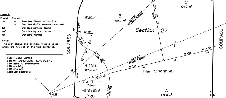
Our technologists translate the precise 3D field data into a Certificate of Location. The plan clearly illustrates the parcel boundaries, registered charges, building offsets, and the extent of any encroachments onto or from the property, in addition to any elevated features requested. The BCLS electronically signs and dates the certificate using a secure digital signature, assuming professional responsibility for the accuracy of the structural locations.
What professional documents and markers do you receive upon project completion?
Certified PDF Plans
A digitally signed and sealed BC Land Surveyor's Certificate of Location, ready for submission to municipal building inspectors, solicitors, or financial institutions.
Topographic 3D CAD Files
CAD Drawing (DWG/DXF) depicting the exact as-built locations of foundations and structures for your architects and engineers.
Point Clouds and Orthoimages
Dense 3D laser scan data and high-resolution aerial imagery providing a complete, digital model of the constructed improvements.
Frequently Asked Questions
Get answers to common questions about our land surveying services.
Local Resources for the Sea to Sky
Where can you find official topographic and permit checklists for the Sea to Sky?
Service Gallery
Field photos, survey plans, and technical captures from our projects.