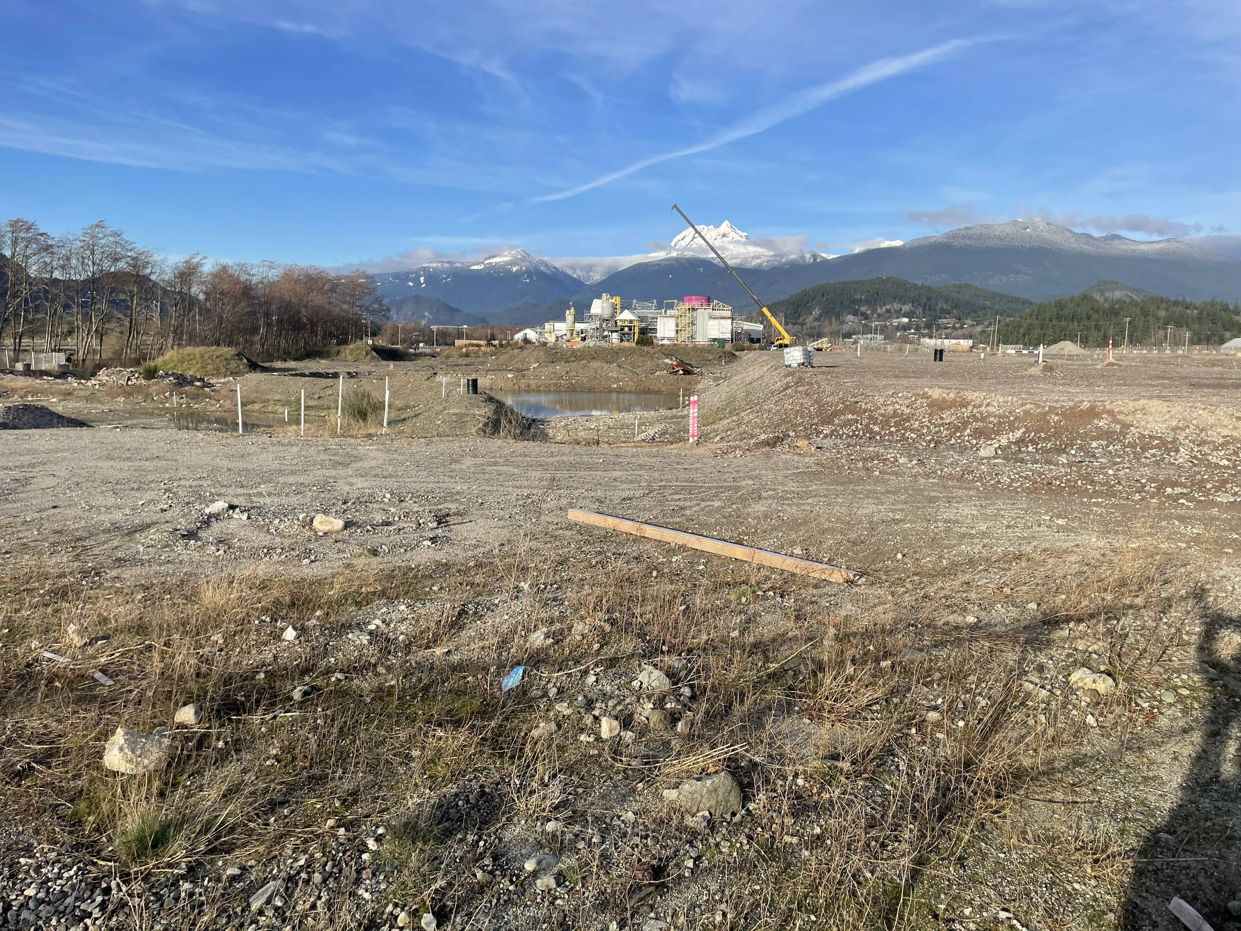
UAV Mapping in Sechelt
Professional UAV Mapping in Sechelt, deploying aerial photogrammetry and LiDAR sensors to safely map large-scale, steep, or inaccessible areas.
In Sechelt, utilizing Unmanned Aerial Systems (UAS) for geospatial data collection delivers immense volumes of rich 3D data with unprecedented speed and efficiency. Relying on unlicensed drone operators to map your critical infrastructure or development sites exposes your project to boundary encroachment risks, municipal rejections, and significant liability.
Tantalus Geomatics Land Surveying provides the professional services required to accurately capture Aerial survey data and relate them to your project's coordinate reference system. We strictly adhere to Transport Canada’s Canadian Aviation Regulations (CARs).
Why Choose Tantalus Geomatics?
Our team combines local Sechelt expertise with state-of-the-art surveying technology. We deliver highly accurate, BCLS-certified plans that streamline your municipal permit approvals and protect your property investments.
Our UAV Mapping Process in Sechelt
How do we ensure accuracy and efficiency in our land surveying projects?
Flight Planning:
The foundation of a safe and accurate UAS survey is thorough mission planning and airspace research. We analyze the project boundaries, terrain topography, and local airspace restrictions under Transport Canada's CARs Part IX, securing NAV CANADA flight authorizations and designing optimized flight paths with appropriate overlap for high-density photogrammetry or LiDAR data capture.
Field Work:
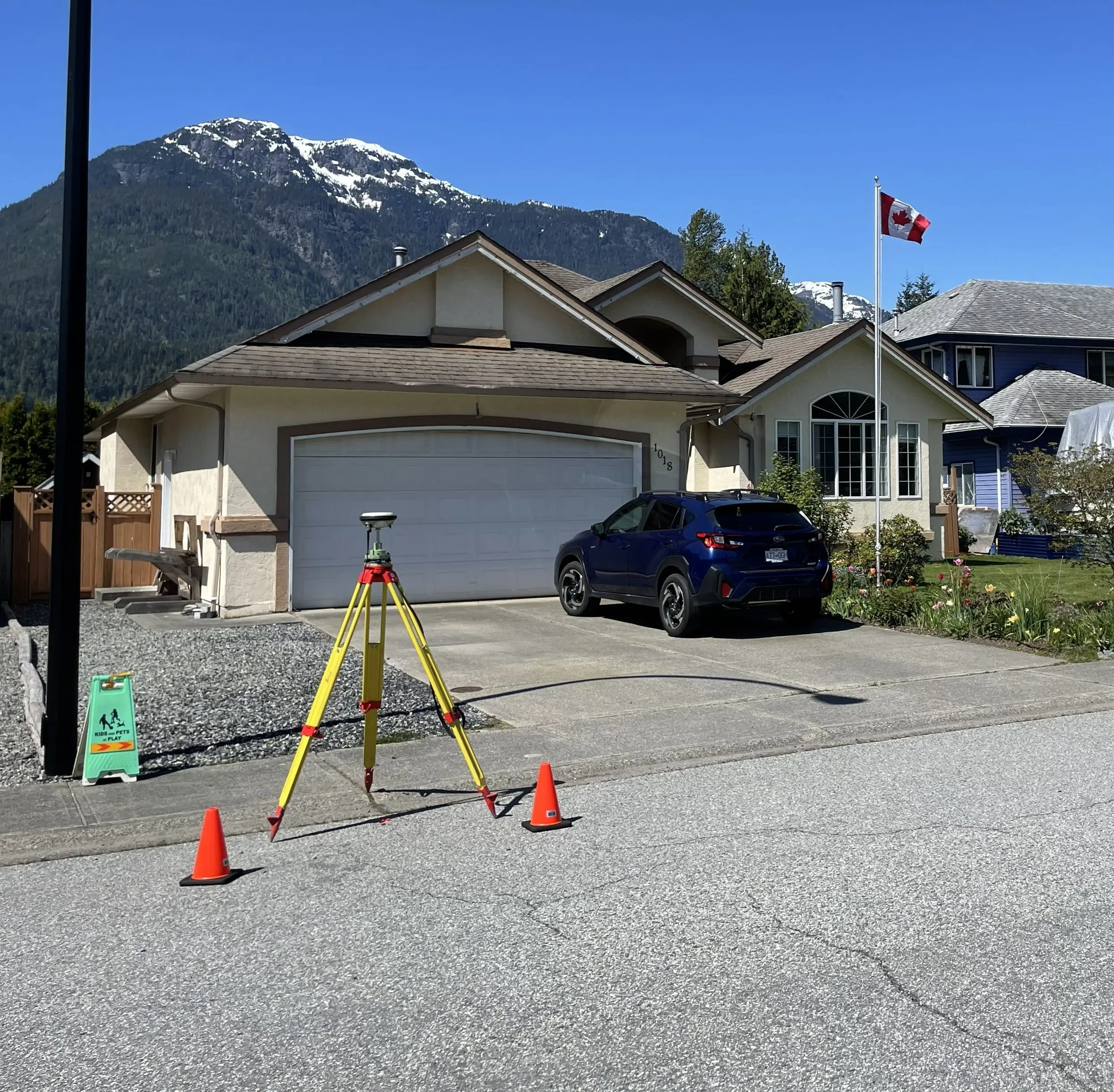
First, our field technicians physically place and measure high-visibility Ground Control Points (GCPs) across the site using RTK GNSS and Robotic Total Stations, ensuring the drone-acquired point clouds and orthophotos are perfectly calibrated to legal property boundaries and geodetic datums. Next, they execute the UAV flight plan using automated flight control software, supplementing with manual flight as necessary to safely and completely cover the entire area of interest.
Data Processing:
Back in the office, our geomatics specialists process the raw aerial imagery and LiDAR sensor data. We perform 3D point cloud registration, georeferencing, point cloud classification and feature extraction, generating high accuracy bare-earth Digital Terrain Models (DTM), volumetric calculations, and high-resolution orthomosaics.
What professional documents and markers do you receive upon project completion?
Certified PDF Plans
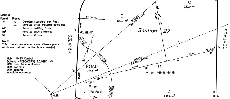
Digitally signed and sealed Plans of Topography or Site Plans, accurately depicting the aerial-derived contours, structures, and natural features in direct relation to your legal property boundaries.
Topographic 3D CAD Files
digital CAD drawings (DWG/DXF/XML) containing extracted 3D linework, breaklines, and Triangulated Irregular Network (TIN) surface models for integration by your civil engineers and architects.
Point Clouds and Orthoimages
Classified, industry-standard LAS or LAZ point cloud files containing millions of 3D coordinates, alongside accurately scaled, high-resolution GeoTIFF orthophotos that provide a digital model of your site.
Quality Assurance Reports
Comprehensive documentation detailing the GNSS control network, flight parameters, and statistical validation proving the aerial data meets the required horizontal and vertical accuracy thresholds.
Frequently Asked Questions
Get answers to common questions about our land surveying services.
Local Resources for Sechelt
Where can you find official topographic and permit checklists for Sechelt?
Service Gallery
Field photos, survey plans, and technical captures from our projects.