Statutory Rights Of Way Surveys in Sechelt
Professional Statutory Rights Of Way Surveys in Sechelt, surveying corridors for public infrastructure or utility lines required for LTSA registration.
When expanding utility networks, developing major pipeline infrastructure, or installing municipal services in Sechelt, acquiring the right to cross both private and Crown land is a legal requirement. A Statutory Right of Way (SRW) is a legal instrument defined under the Land Title Act which allows governments, public utilities, and designated corporations to hold the right to use another's land for a specific purpose.
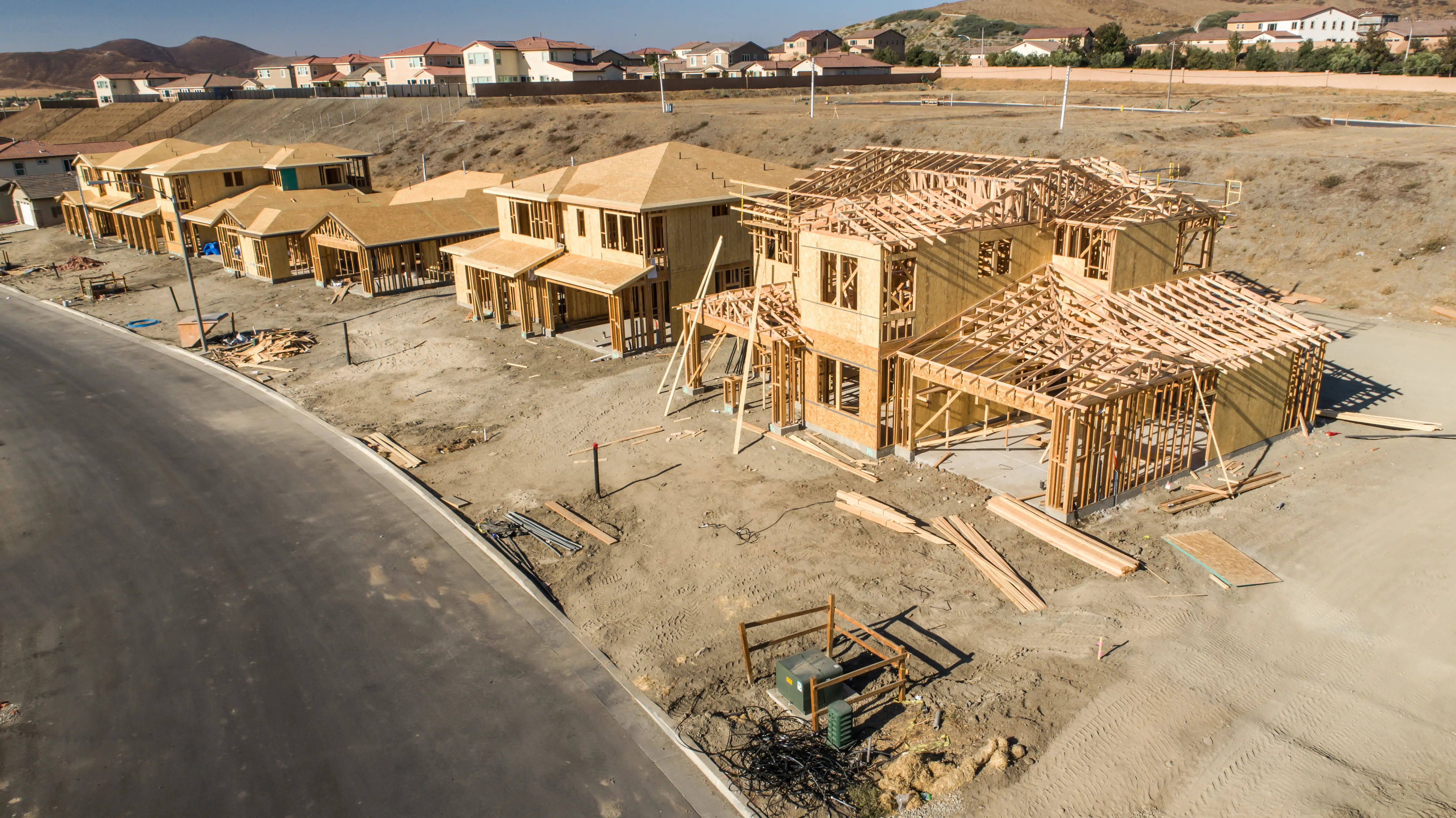
Tantalus Geomatics Land Surveying provides the professional services necessary to physically establish the boundaries of Statutory Right of Ways and prepare the associated plans for registration at the Land Title Office. Whether your project crosses fee-simple titled land or unsurveyed Crown land, our team helps navigate the legislative complexities on your behalf, including working with the Land Title and Survey Authority, the BC Energy Regulator, the Surveyor General's office and local government.
Why Choose Tantalus Geomatics?
Our team combines local Sechelt expertise with state-of-the-art surveying technology. We deliver highly accurate, BCLS-certified plans that streamline your municipal permit approvals and protect your property investments.
Our Statutory Rights Of Way Surveys Process in Sechelt
How do we ensure accuracy and efficiency in our land surveying projects?
Research
The BCLS accesses the Land Title and Survey Authority of British Columbia (LTSA) to retrieve current Certificates of Title, historical subdivision plans, original Crown grants, and surveyor field notes. We review all registered encumbrances, such as existing rights of way and easements, to ensure the proposed corridor accommodates all legal constraints. For energy sector projects, we also research records maintained by the BC Energy Regulator and, where applicable, BC One Call records.
Field Work
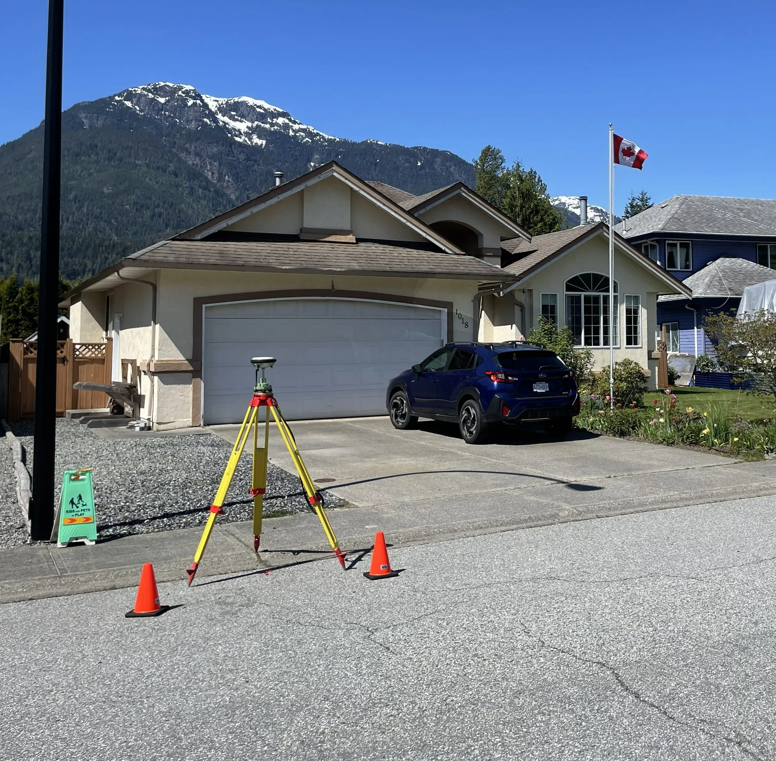
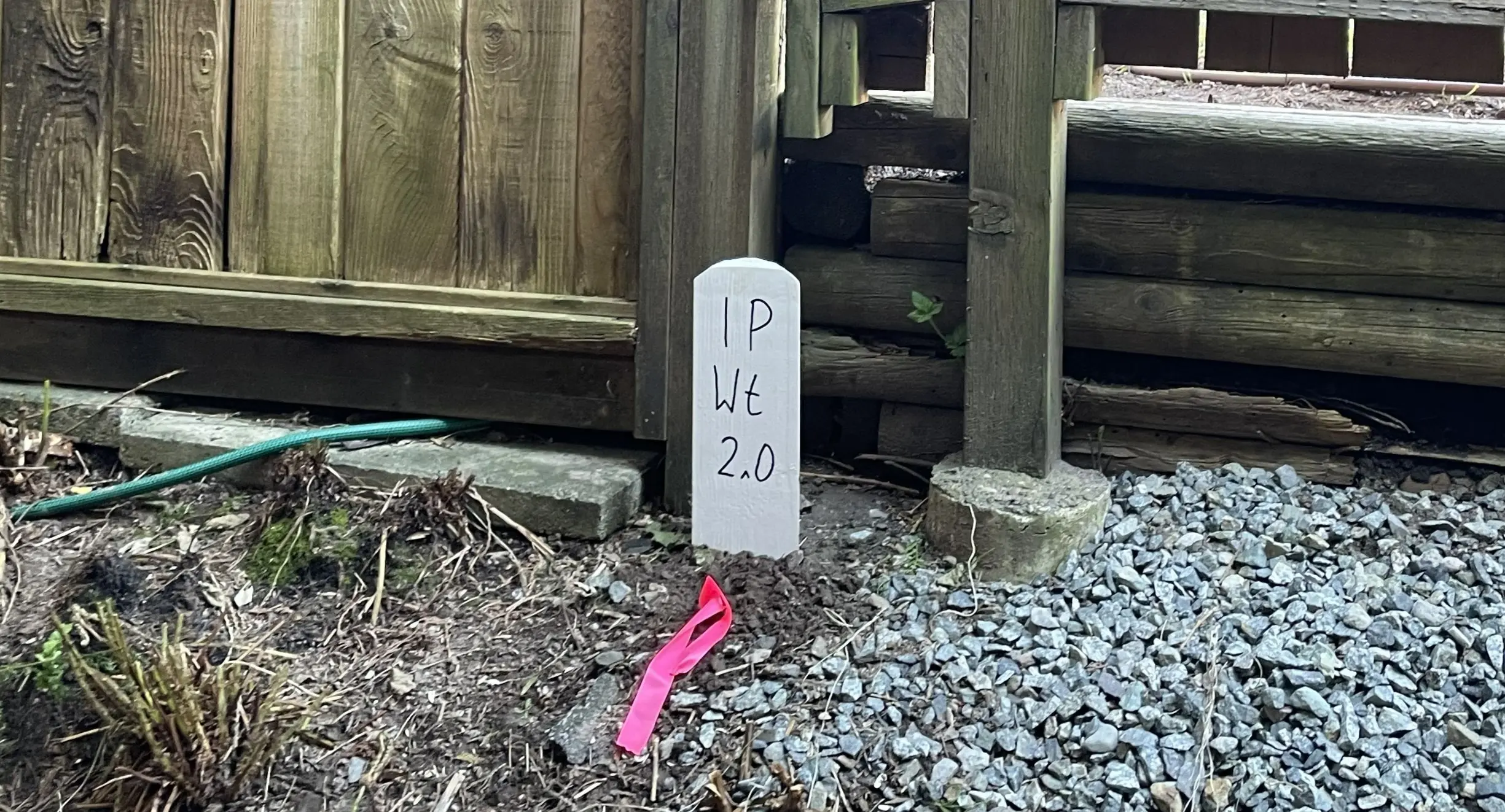
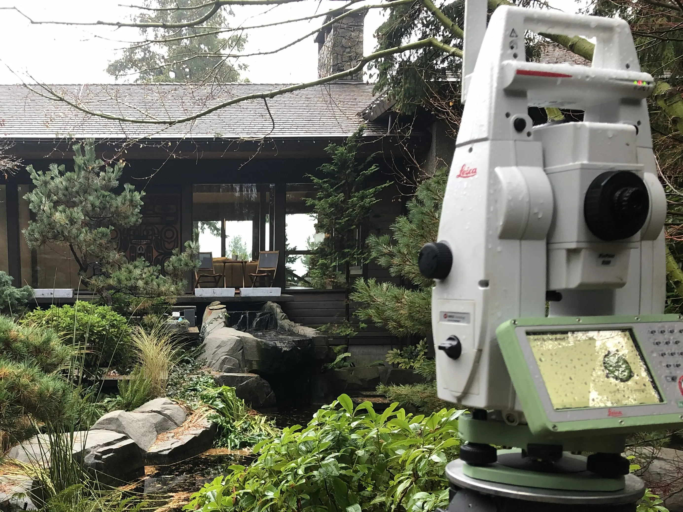
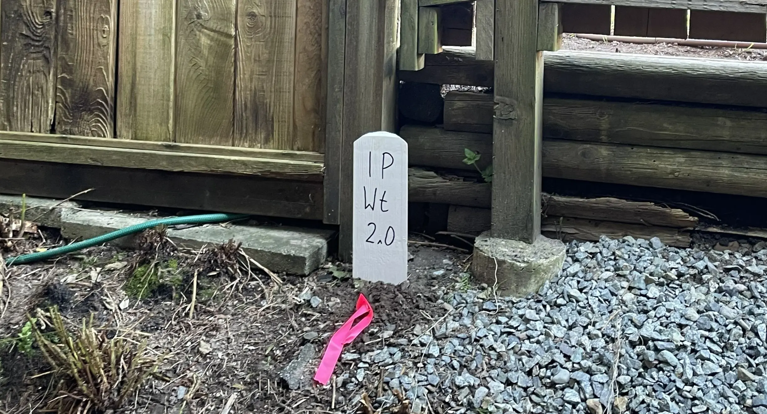
The scope of field work and the time required to complete the survey are heavily impacted by the ruggedness of the terrain, the density of vegetation, and the stage of construction. First, the crew works to re-establish the parent parcel's boundaries. Next, our crews place survey monuments on both sides where the right of way where it begins, ends, at each angle, and where it intersects with existing surveyed boundaries.
Plan Preparation
Our technologists translate the precise 3D field data into a Statutory Right of Way Plan depicting the length and width of the right of way, the posts placed during the field survey, the SRW surface area and a comprehensive book of reference listing the legal description of all parcels the crossed by the SRW. The BCLS reviews and certifies the SRW Plan, and works with your legal counsel to submit the final SRW package to the Surveyor General for approval or to the Land Title Office for registration.
What professional documents and markers do you receive upon project completion?
Certified Legal Plans
Digitally certified PDF Statutory Right of Way Plans, fully compliant with LTSA and Surveyor General standards, ready for LTSA registrationt.
Property Corner Monumentation
Standard iron posts, lead plugs, or capped concrete posts to permanently mark the angles and intersections of your right of way.
Topographic 3D CAD Files
digital drafting files (DWG/DXF) mapping the SRW boundaries and site topography for your civil engineering and design teams.
Point Clouds and Orthoimages
Dense 3D laser scan data and high-resolution aerial imagery providing a complete digital twin of the project site and existing infrastructure.
Frequently Asked Questions
Get answers to common questions about our land surveying services.
Local Resources for Sechelt
Where can you find official topographic and permit checklists for Sechelt?
Service Gallery
Field photos, survey plans, and technical captures from our projects.