Topographic Surveys And Site Plans in Powell River
Professional Topographic Surveys And Site Plans in Powell River, mapping detailed ground elevations, structural contours, visible utility networks, and landmarks to anchor architectural design blueprints.
Topographic surveys and site plans form the critical baseline for any architectural design, engineering, or real estate development in Powell River. A plan of topography is a survey plan prepared by a commissioned British Columbia Land Surveyor (BCLS), which illustrates topographic and site details, and information gathered during a field survey. The plans often combine the field survey data with data from other sources such as as-built records, service location records, and underground utility records.
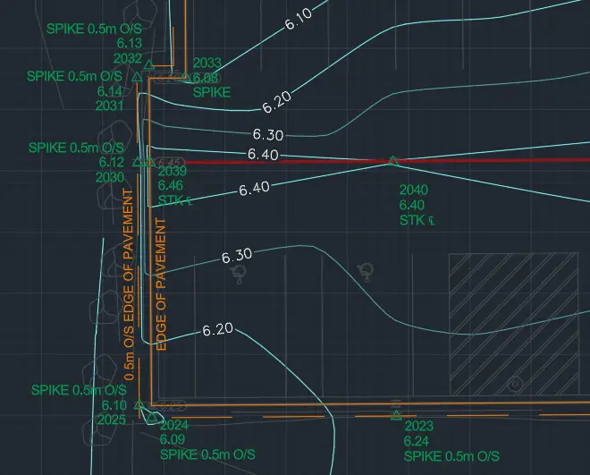
Site plans and plans of topography carry legal and regulatory significance as they frequently accompany municipal development permits, zoning amendments, and building applications. Tantalus Geomatics Land Surveying provides the professional services necessary to accurately capture, depict and certify these plans. Additionally, we work with local government to ensure these plans conform to local bylaws in Powell River, ensuring that physical features and structures are depicted and labeled in exact conformity with municipal definitions and setback requirements.
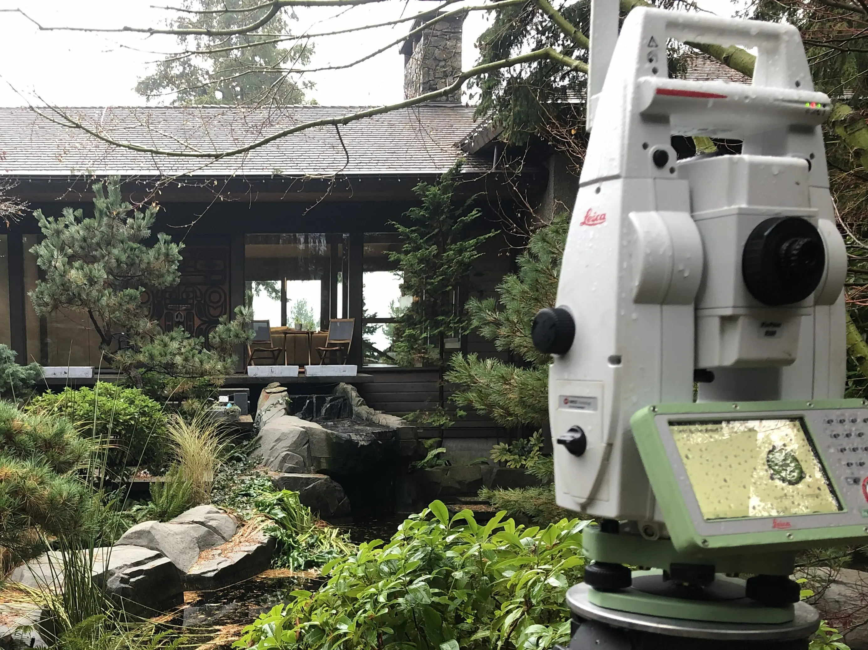
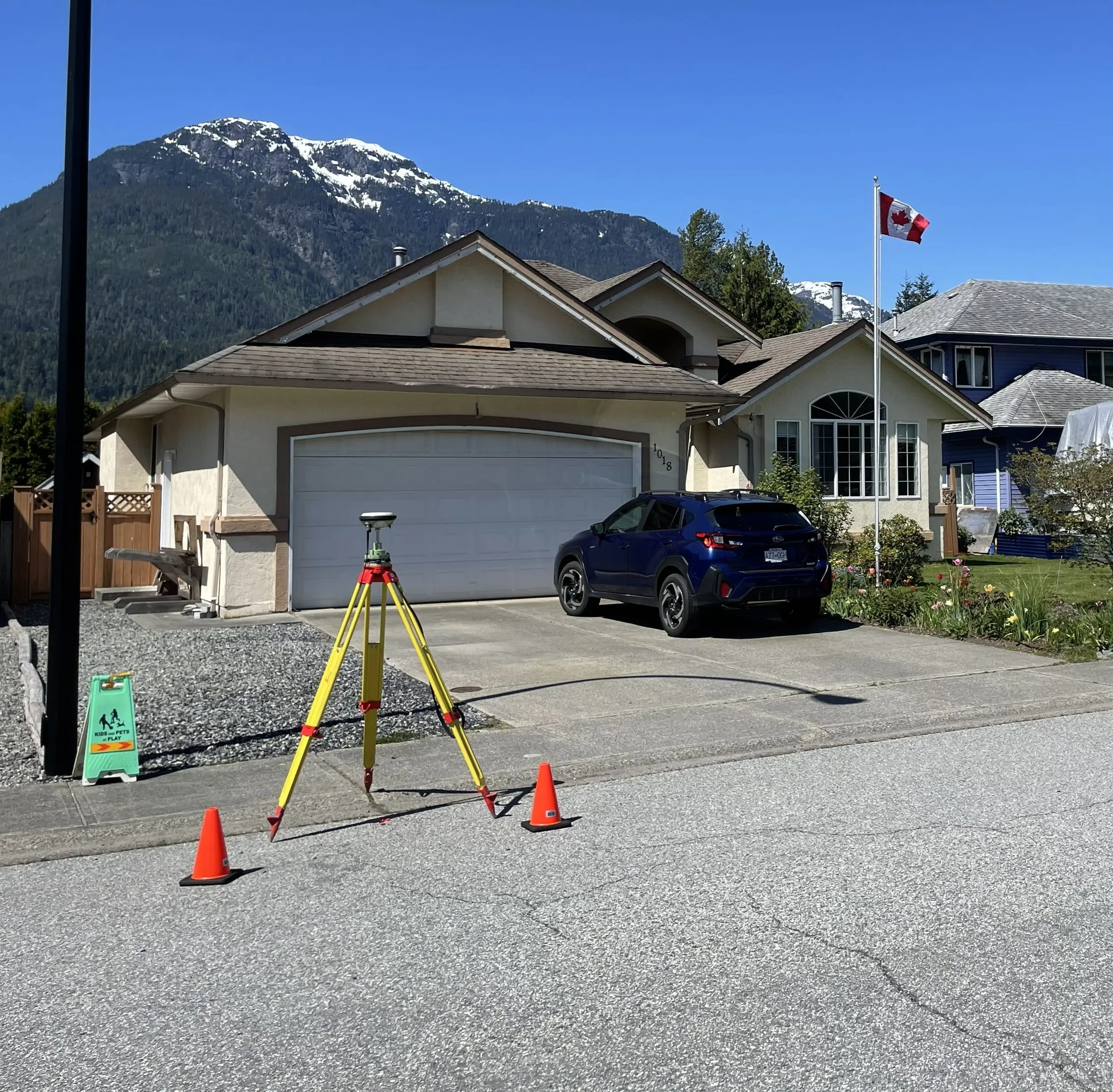
To achieve the appropriate data format and accuracy standards required by your design team, our firm deploys state-of-the-art measurement technologies. We utilize Aerial Drone Photogrammetry and Aerial Drone LiDAR to penetrate dense vegetation and generate accurate 3D topographic terrain models of large sites. Additionally we use Static GNSS and RTK GNSS, Terrestrial LiDAR, and Robotic Total Stations to capture site features and topography at a variety of data densities and levels of accuracy.
Why Choose Tantalus Geomatics?
Our team combines local Powell River expertise with state-of-the-art surveying technology. We deliver highly accurate, BCLS-certified plans that streamline your municipal permit approvals and protect your property investments.
Our Topographic Surveys And Site Plans Process in Powell River
How do we ensure accuracy and efficiency in our land surveying projects?
Research:
The BCLS accesses the Land Title and Survey Authority of British Columbia (LTSA) to retrieve the current Certificates of Title, registered subdivision plans, and all registered charges on title that affect the property. Additionally, we research municipal GIS systems and existing as-built documentation to confirm improvements and critical topographic features around the site. If utility mapping is required, we coordinate with BC 1 Call or other utility locators to identify underground buried facilities and utility corridors before our crews arrive on site. We rigorously review the local municipal bylaws of Powell River to ensure we depict municipal setbacks and to confirm that our feature labeling accurately aligns with the specific zoning definitions.
Field Work:
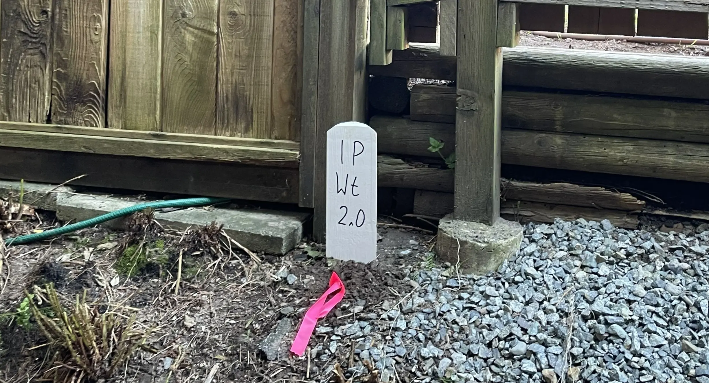
Our survey crews conduct a physical search to recover the legal survey posts that define your parcel's boundaries. We then capture the 3D coordinates of all natural and artificial features, including ground elevations, structures, retaining walls, trees, and visible utilities. The physical conditions of your site, such as the ruggedness of the terrain, density of the vegetation, and the presence of complex infrastructure, directly impact the scope of the field work and the time required to complete the survey. Utilizing a combination of RTK GNSS Receivers, Robotic Total Stations, and LiDAR, we ensure every aspect of the site is captured.
Plan Preparation:
Our technologists translate the dense 3D field data into a highly detailed Plan of Topography or Site Plan. The BCLS ensures the plan includes the parcel boundaries, a description of the vertical elevation system used (such as a geodetic datum), contour lines, and all required professional disclaimers. The review and certify the final plan and support your project team's permit application package submission to the local government.
What professional documents and markers do you receive upon project completion?
Certified PDF Plans
A digitally signed and sealed Plan of Topography or Site Plan, clearly illustrating the property boundaries, contours, structures, and geodetic elevations, ready for submission to municipal authorities and building inspectors.
Topographic 3D CAD Files
digital drafting files (DWG/DXF) mapping the exact as-built locations of features and site topography for your design team.
Point Clouds and Orthoimages
Dense 3D Terrestrial LiDAR scan data and high-resolution aerial imagery providing a complete, digital model of the existing site conditions.
Frequently Asked Questions
Get answers to common questions about our land surveying services.
Local Resources for Powell River
Where can you find official topographic and permit checklists for Powell River?
Service Gallery
Field photos, survey plans, and technical captures from our projects.