Subdivision Surveys in Powell River
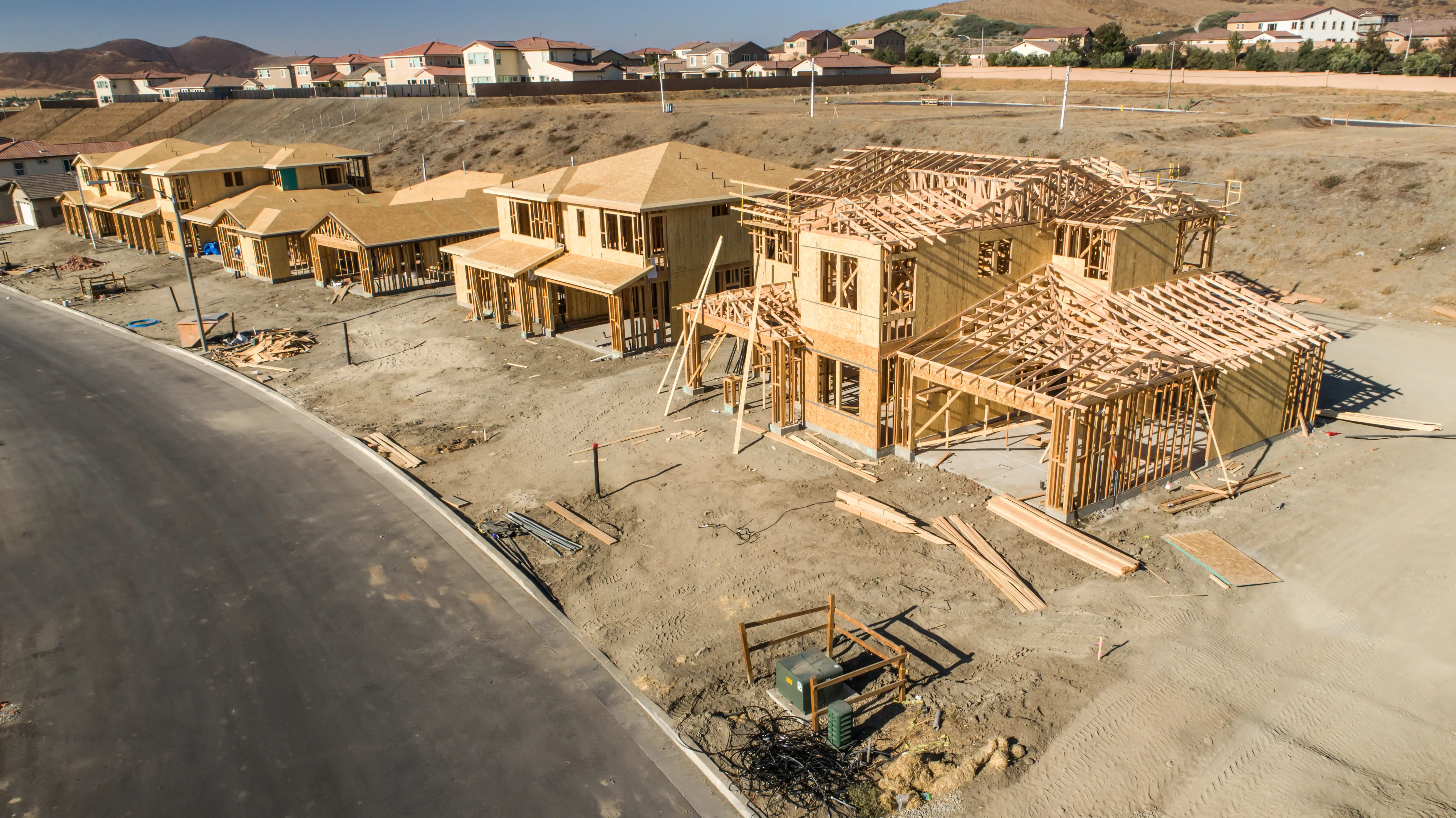
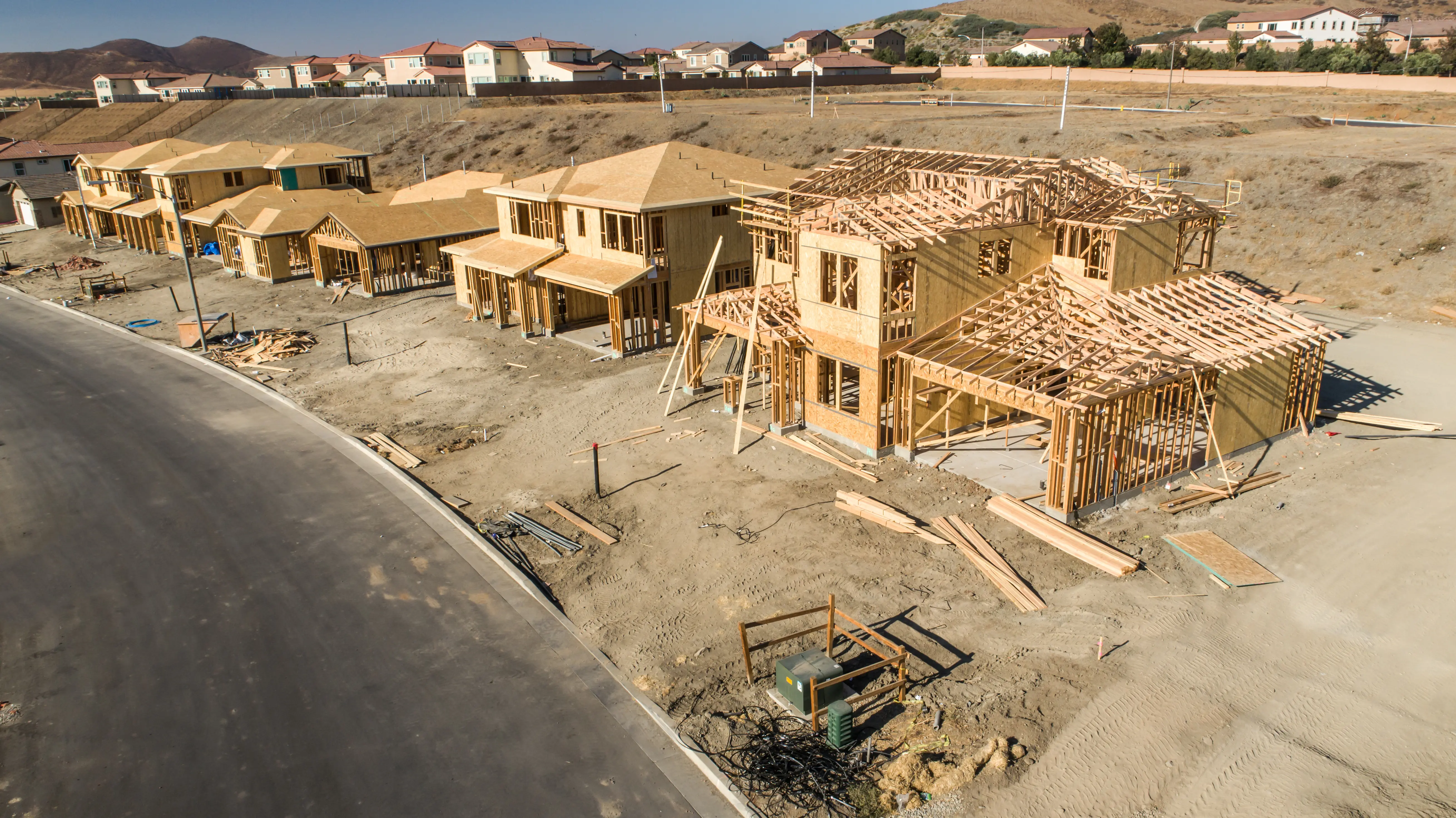
Professional Subdivision Surveys in Powell River, guiding land developers through the process of subdividing large parcels, boundary adjustments, and greenfield developments from initial design up to final Land Title Office filing.
Whether you are subdividing a single residential lot or designing a sprawling multi-phase community in Powell River, subdividing land is a mechanism for maximizing real estate value, unlocking development potential, and facilitating the transfer of property. Factors such as zoning, drainage, utility supply, local aesthetics, land dedications, natural hazard assessments, and road access can quickly bring a proposed development to a halt.
Tantalus Geomatics Land Surveying provides the professional services required to navigate the complexities of subdividing land in Powell River. We work with the entire project team including local government officials, approving officers, engineers, architects and builders to drive your project forward to completion.
Why Choose Tantalus Geomatics?
Our team combines local Powell River expertise with state-of-the-art surveying technology. We deliver highly accurate, BCLS-certified plans that streamline your municipal permit approvals and protect your property investments.
Our Subdivision Surveys Process in Powell River
How do we ensure accuracy and efficiency in our land surveying projects?
Research
The BC Land Surveyor gathers historical plans, original field notes, Crown grants, and active title records from the Land Title and Survey Authority of British Columbia (LTSA). We also review all registered charges on title, such as statutory rights of way and restrictive covenants, to ensure your proposed subdivision design accommodates existing legal constraints.
Field Work
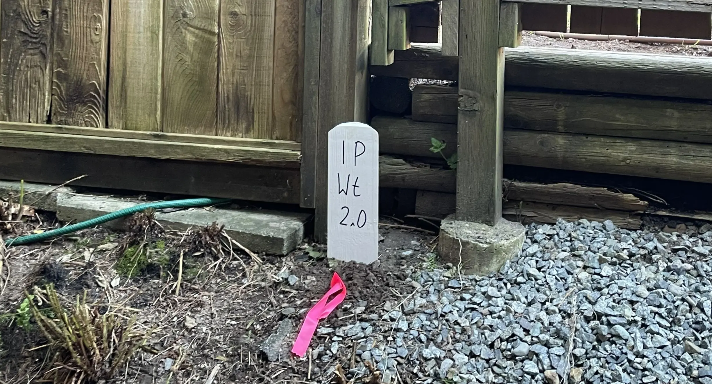
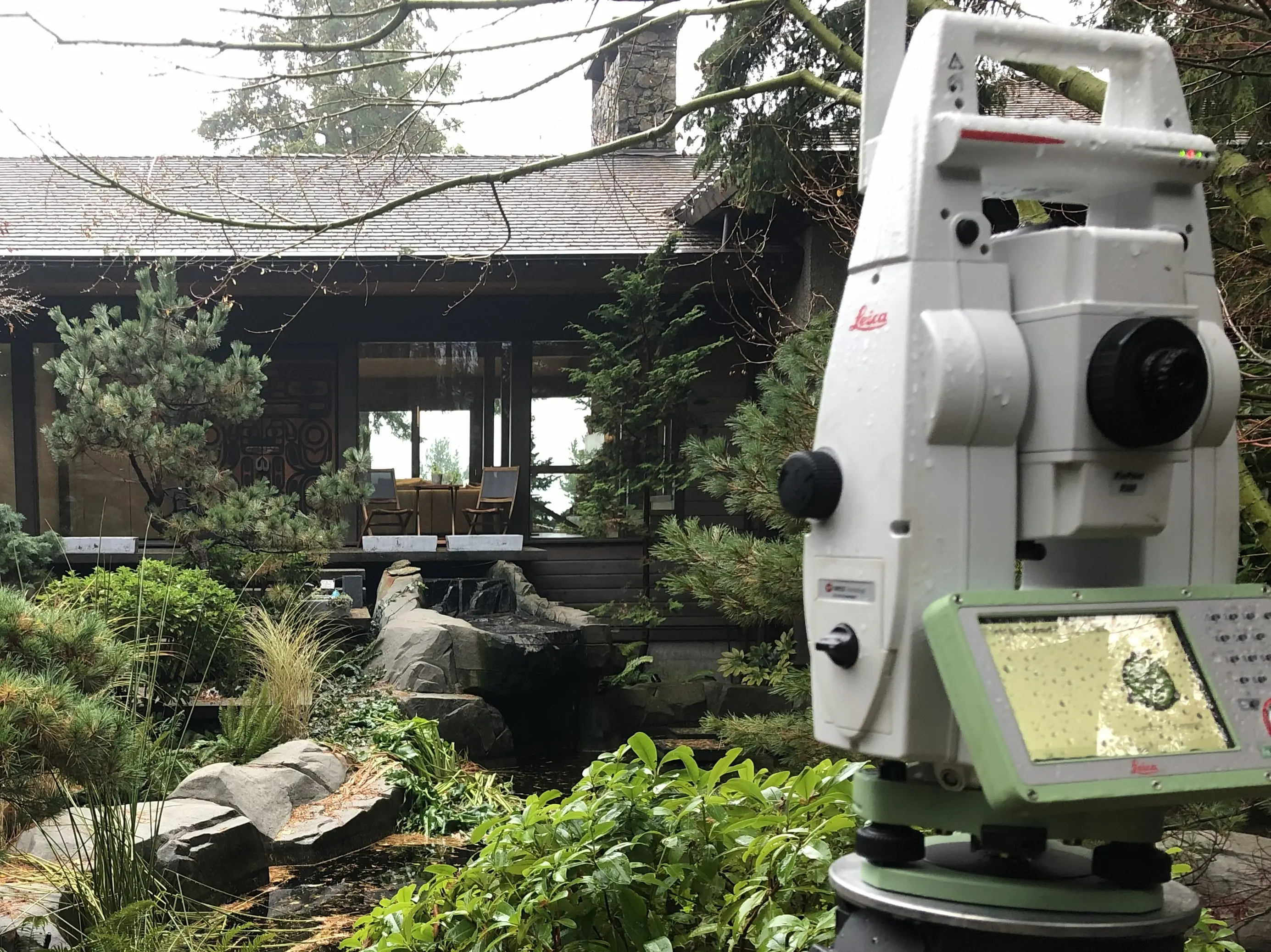
First, our field crews work to re-establish the perimeter of the existing parent parcel by conducting searches to recover original survey monuments (such as standard iron posts and lead plugs) and ancillary evidence like bearing trees. Factors such as the age of the original survey, terrain ruggedness, and vegetation density impact the scope of field work and the time required to complete the survey. Once the perimeter boundaries have been determined, we install standard Type 1, 2, 4, or 5 monuments in the ground to permanently mark your new subdivision corners.
Plan Preparation
Our technologists prepare the Subdivision Plan depicting the physical dimensions of the new lots and the survey posts set at each corner. The BCLS reviews and certifies the plan, and works with your legal counsel to submit the plan to the Approving Officer for endorsemennt. Finally, we coordinate with your team to support the submission of the final subidivisionn package to the LTSA.
What professional documents and markers do you receive upon project completion?
Legal Subdivision Plan
A digitally certified subdivision plan (PDF) ready for registration with the Land Title Office.
Physical Monumentation
Standard iron posts, lead plugs, or rock posts placed to mark the new property corners.
Topographic 3D CAD Files
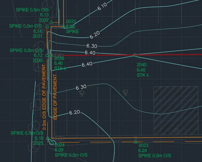
digital CAD drawings (DWG/DXF) used by civil engineers, architects, and planners for site and infrastructure design.
Point Clouds and Orthoimages
Dense 3D laser scan data and high-resolution aerial imagery providing a complete digital twin of the project site.
Frequently Asked Questions
Get answers to common questions about our land surveying services.
Local Resources for Powell River
Where can you find official topographic and permit checklists for Powell River?
Service Gallery
Field photos, survey plans, and technical captures from our projects.