Sea to Sky | Vancouver's North Shore | Sunshine Coast
Boundary, Posting, and Staking Surveys in Pemberton
Professional Land Surveying Services

Boundary, Posting, and Staking Surveys in Pemberton

Expert Boundary, Posting, and Staking Surveys in services in Pemberton, ensuring accurate legal layout and strict municipal zoning compliance.

Establishing the exact legal limits of your property is the foundational step for any real estate transaction, fence construction, or land development project in Pemberton. Whether you require a boundary survey to resolve a neighbour dispute or a staking survey for a construction layout, defining the spatial and legal rights of your land is an intensely regulated process. In British Columbia, the "practice of land surveying" is strictly governed by the Land Surveyors Act, meaning only a commissioned British Columbia Land Surveyor (BCLS) holds the exclusive statutory authority to determine, locate, define, establish, or re-establish property boundaries. Relying on unlicensed contractors to "stake" a line exposes you to severe legal and financial liabilities, as only a licensed BCLS can officially adjudicate boundaries and act in the public interest to protect the cadastre.

BC Land Surveyor performing Boundary Surveys in Pemberton, BC

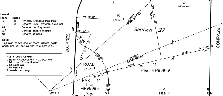
When clients request a "staking survey" to physically mark their property lines for a new fence or building footprint, and one or more corner posts are missing, professional standards and regulations mandate a formal boundary resolution process known as a posting survey. Under Section 68(1) of the Land Title Act, if an angle of a parcel is redefined on the ground by a post or monument, the redefinition must be made by a BCLS and shown on a Posting Plan. The surveyor must certify this Posting Plan as correct and file it in the Land Title Office within two months after completing the field work. This statutory requirement creates a permanent public record of the survey evidence, ensuring that your property lines are legally documented, highly transparent, and protected against future disputes. If the survey reveals significant boundary discrepancies compared to the underlying registered plan, we prepare a Reference Plan under Section 100(1)(a) of the Land Title Act to formally re-establish the boundaries and update the registered title.

To execute these exacting boundary and posting surveys, our firm applies the common law "Hierarchy of Evidence," supported by the Land Survey Act, prioritizing natural boundaries first, followed by original undisturbed monuments, historical evidence of possession, and finally mathematical plan measurements. To capture this physical evidence with uncompromising absolute and relative accuracy, we deploy a state-of-the-art suite of geomatics instruments. We establish a highly robust primary geodetic control network using Static GNSS Receivers. From this framework, our crews utilize RTK GNSS Receivers to rapidly locate boundary evidence in open-sky environments with centimeter precision. In dense urban corridors or under heavy tree canopy in Pemberton, we deploy millimeter-accurate Robotic Total Stations to run rigorous, closed-loop traverses, eliminating blunders and random errors. Furthermore, for complex boundary intersections involving intricate architecture or rugged topography, we leverage Aerial Drone LiDAR, Aerial Drone Photogrammetry, and Terrestrial LiDAR (3D laser scanners) to capture high-density point clouds, guaranteeing that every physical feature is perfectly mapped relative to your legal property lines.

Why Choose Tantalus Geomatics?

Our team combines local Pemberton expertise with state-of-the-art surveying technology. We deliver highly accurate, BCLS-certified plans that streamline your municipal permit approvals and protect your property investments.

How do we ensure accuracy and efficiency in our land surveying projects?

How do we ensure accuracy and efficiency in our land surveying projects?

We follow a structured, transparent process to deliver precise results and keep your project on schedule.

Step 01

Research:

The foundation of any boundary survey is exhaustive documentary research. The BC Land Surveyor retrieves current Certificates of Title, historical subdivision plans, original Crown grants, and surveyor field notes from the Land Title and Survey Authority of British Columbia (LTSA). We meticulously review all registered encumbrances, such as statutory rights of way and easements, to ensure every legal constraint on your parcel is mapped and evaluated before our crews arrive on site.

Step 02

Field Work:

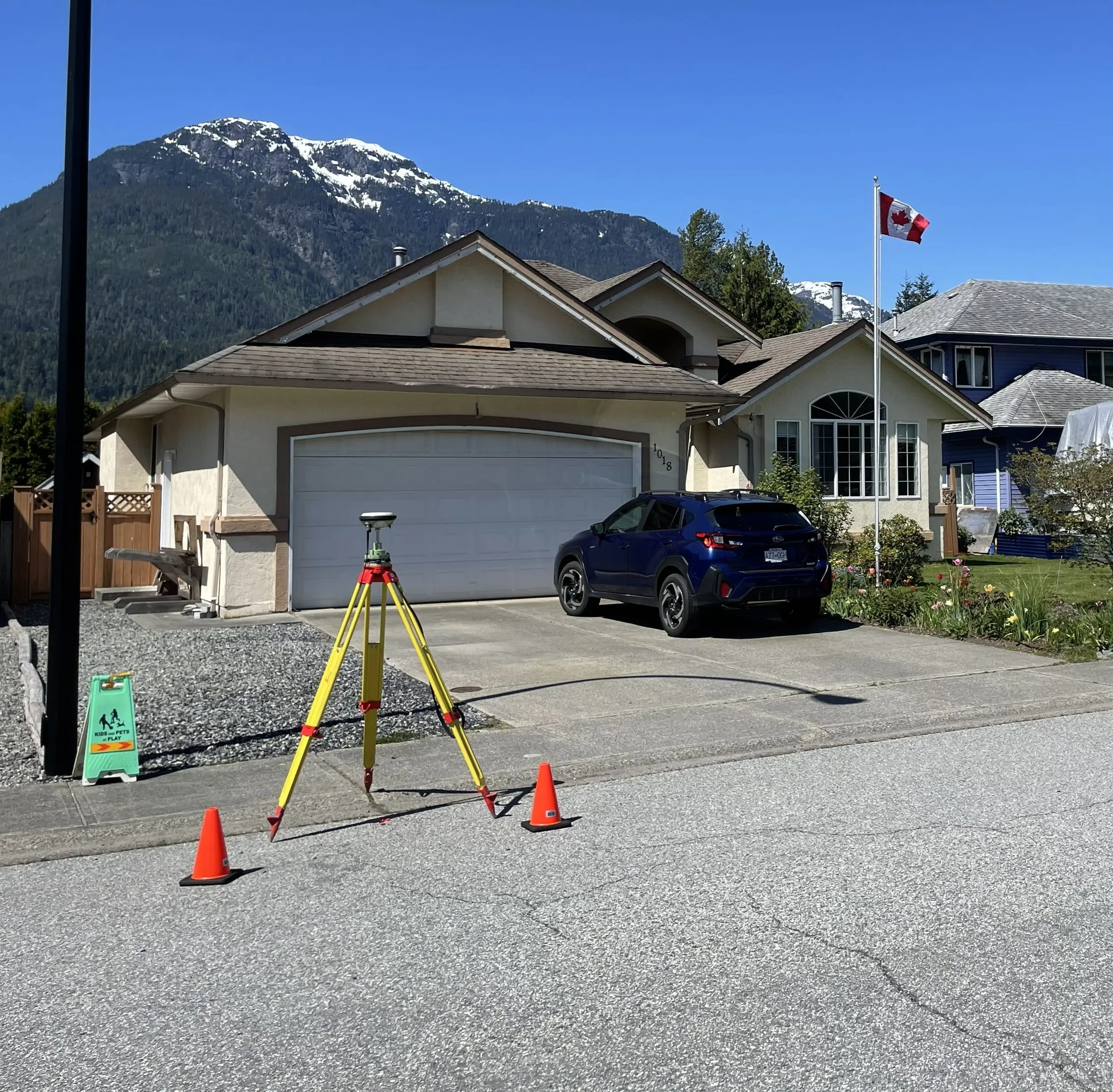
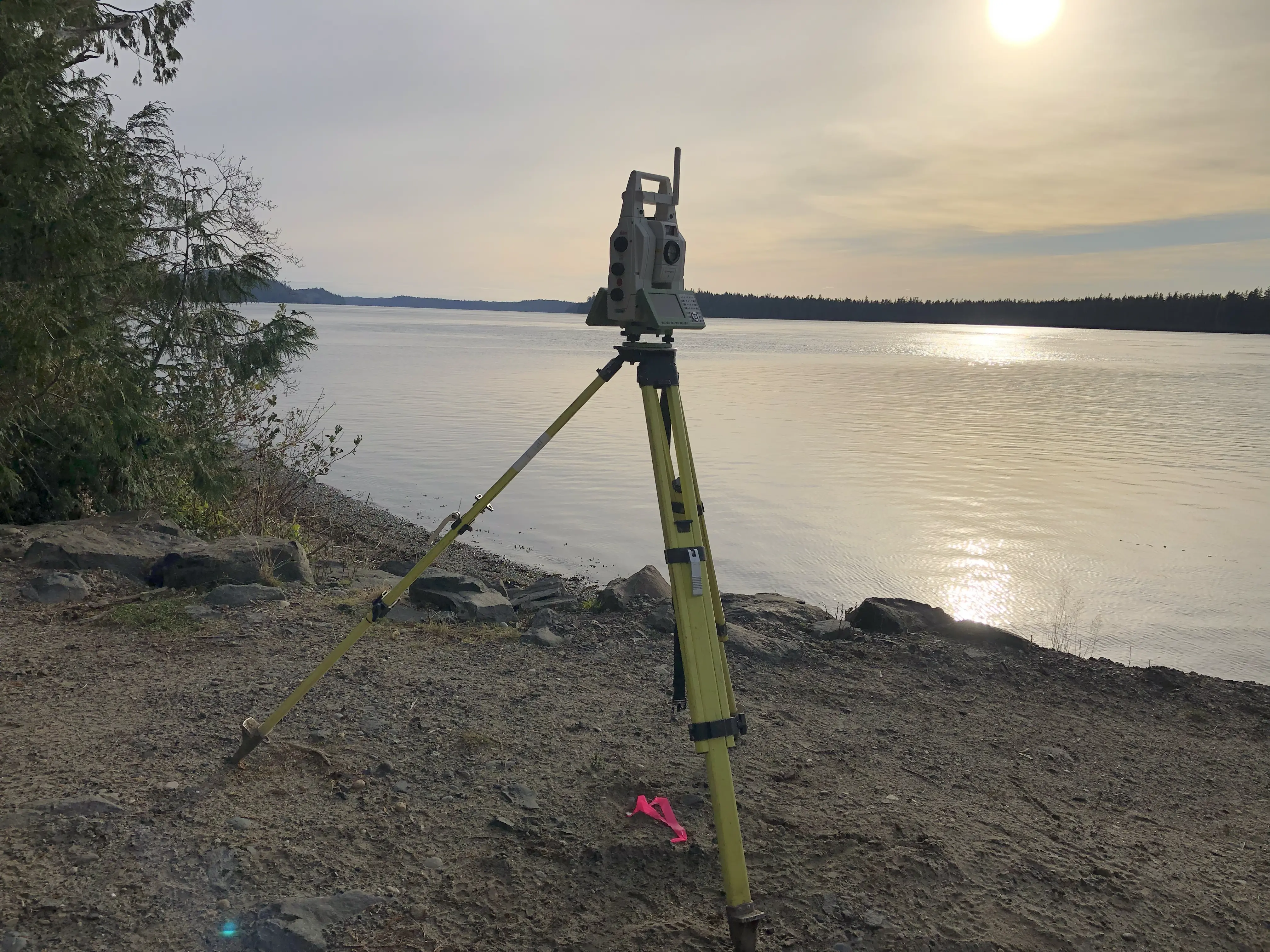
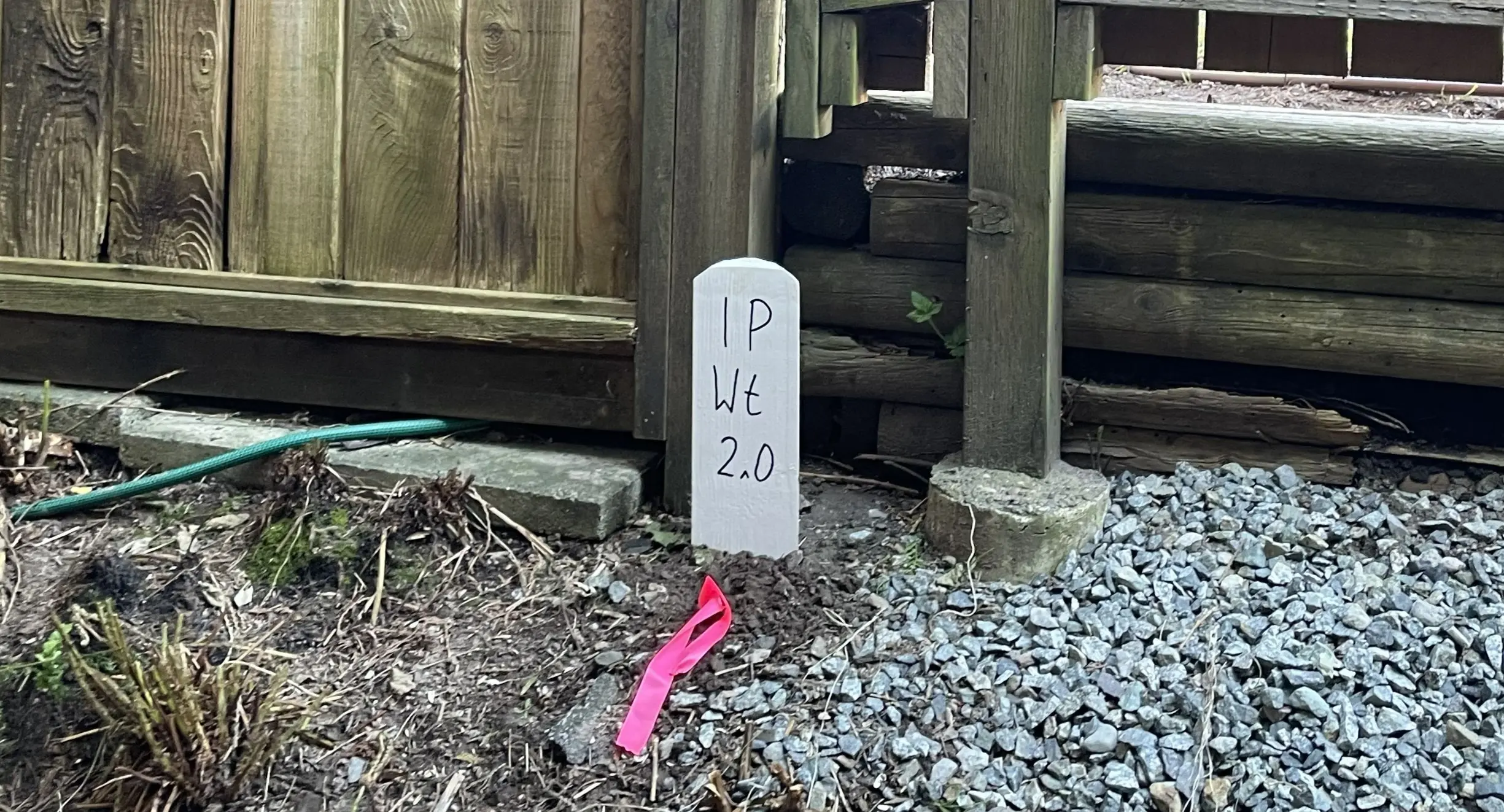
Our survey crews conduct a physical search to recover original survey monuments (such as standard iron posts or lead plugs) and ancillary evidence like bearing trees and historical fences. The scope of the field work and the time required to complete the survey are directly impacted by the age of the original survey, the ruggedness of the terrain, and the density of the vegetation. Depending on satellite visibility, our crews seamlessly transition between RTK GNSS Receivers and Robotic Total Stations to capture the physical evidence. The BCLS then legally adjudicates the true boundary lines by applying the Hierarchy of Evidence and physically stakes the corners by driving durable standard iron posts into the earth.

Step 03

Plan Preparation:

Once the boundary has been staked and posted in the field, our drafting experts prepare the formal Posting Plan in strict accordance with the Association of British Columbia Land Surveyors (ABCLS) *Survey and Plan Rules*. As your certifying professional, the BCLS takes full statutory responsibility for the boundary resolution by electronically signing the Survey Plan Certification using a secure digital certificate. The certified plan is then submitted directly to the LTSA via the secure myLTSA portal, where it is filed in the public land title register to permanently secure the legal definition of your property.

What professional documents and markers do you receive upon project completion?

What professional documents and markers do you receive upon project completion?

Every project concludes with a comprehensive package of certified documents and physical markers to meet all legal and municipal requirements.

Certified Legal Plans

Digitally certified PDF Posting Plans or Reference Plans, fully compliant with LTSA standards and ready for legal filing to protect your property boundaries.

Property Corner Monumentation

Standard iron posts, lead plugs, or rock posts securely driven into the ground to permanently mark (stake) the legal corners of your parcel.

Topographic 3D CAD Files

High-precision digital drafting files (DWG/DXF) combining boundary data with site topography for use by your architects, civil engineers, or fencing contractors.

Point Clouds and Orthoimages

Dense 3D laser scan data and high-resolution aerial imagery providing a complete digital twin of your property and adjacent boundary evidence.

Frequently Asked Questions

Get answers to common questions about our land surveying services.

Have questions about timelines, pricing, or requirements? Find quick answers below.

Local Resources for Pemberton

Where can you find official topographic and permit checklists for Pemberton?
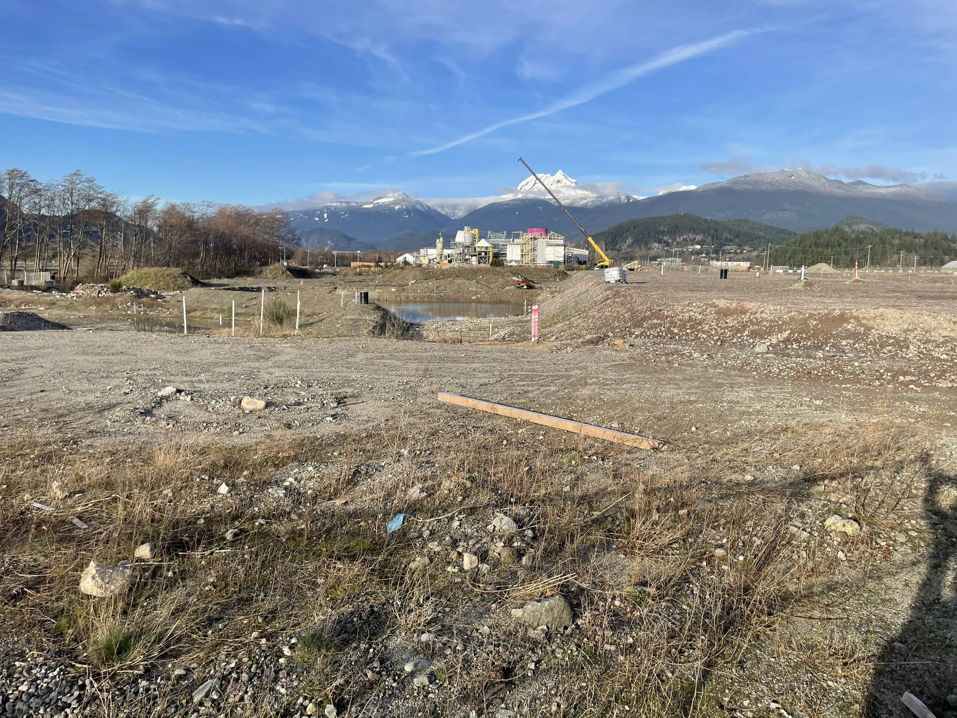
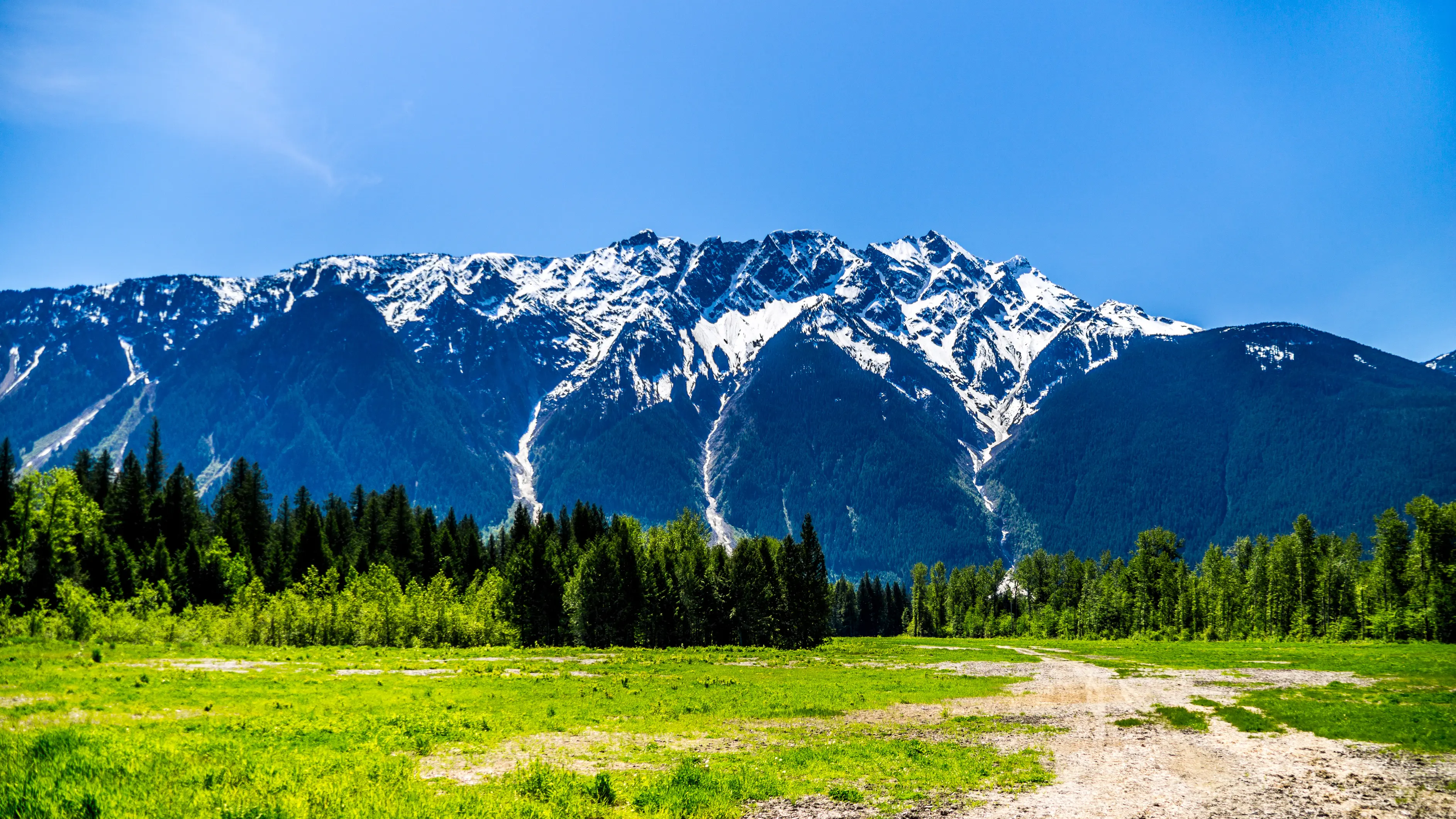
Access official municipal planning guidelines, topographic requirements, and permit checklists directly from the local authority.

Visual Documentation

Service Gallery

Field photos, survey plans, and technical captures from our projects.

Block Outline Surveys
Environmental and Riparian Surveys
Subdivision Surveys
Air Space Subdivision Surveys
BC Land Surveyors Building Location Surveys
Consolidation Surveys

Request a Free Quote Today

What information do we need to start your survey quote today?

Providing us with your name, property address, contact information, and project details allows us to start your quote right away.

Dennis Sherman, BCLS, P.Eng. - Commissioned British Columbia Land Surveyor and Professional Engineer in Squamish, Whistler, and the Sea to Sky Corridor
BC Land SurveyorProfessional EngineerPemberton

About the Principal

Dennis Sherman, BCLS, P.Eng., is a dual-registered professional specializing in the integration of land surveying and geomatics engineering. Commissioned as a British Columbia Land Surveyor (BCLS Commission #1104) and registered as a Professional Engineer (EGBC Registration #57741), Dennis leads the operations at Tantalus Geomatics Land Surveying Ltd., which operates under (Association of BC Land Surveyors Corporate Permit #1046).