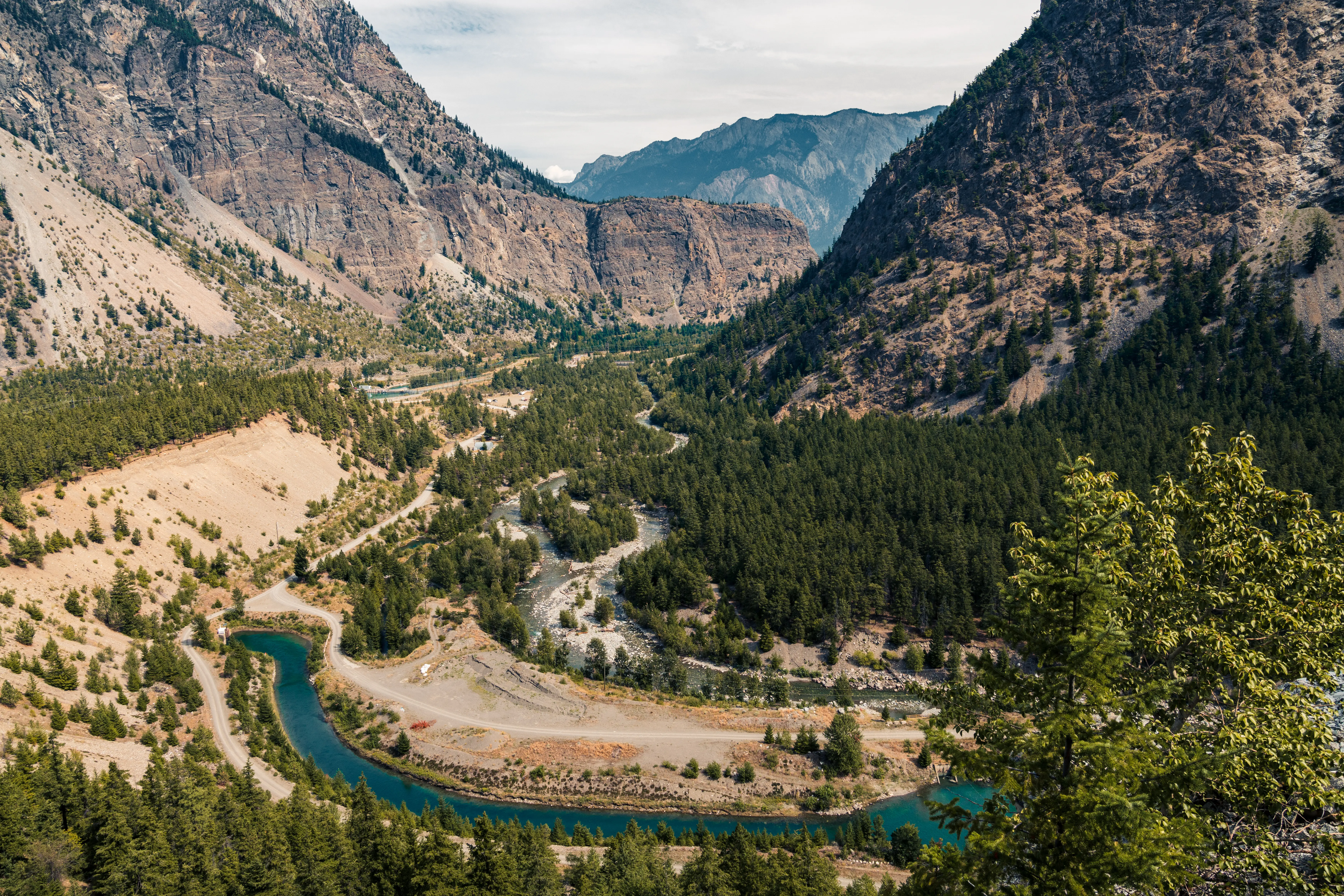
Volume And Earthwork Surveys in Lillooet
Professional Volume And Earthwork Surveys in Lillooet, quantifying material changes, grading results, and cut-and-fill balances to optimize mass-haul site logistics and financial tracking.
When managing major earthworks, deep excavations, or extensive material stockpiles in Lillooet, the accuracy of your volume calculations directly impacts the financial success of your project. In the construction and infrastructure industry, a discrepancy of just a few centimeters across a large site can result in thousands of cubic metres of miscalculated material. Because these quantities form the basis for monthly contractor payments and invoicing pay items, relying on precision and systematic quality management is vital to protecting your bottom line. The professional geomatics team at Tantalus Geomatics Land Surveying delivers high quality 3D surface modeling and the precision required to certify your earthworks, confirm your quantities and eliminate costly billing disputes.
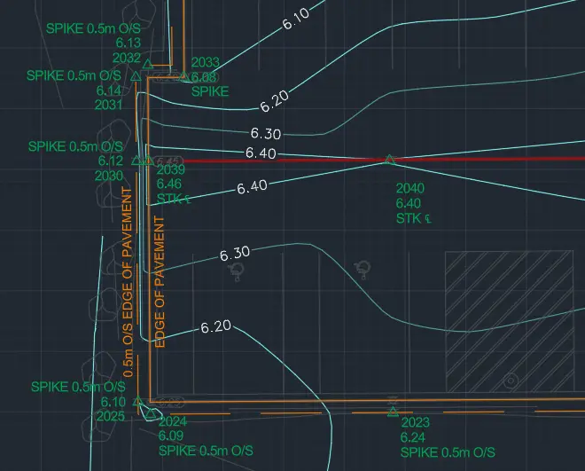
An accurate volume calculation relies upon the creation of complex 3D Triangulated Irregular Network (TIN) surface models. To accurately capture this topographical data, our firm deploys a suite of state-of-the-art measurement technologies, including UAV LiDAR and photogrammetry, RTK and Static GNSS, robotic total stations and terrestrial LiDAR scanning. We establish a highly robust primary survey control network utilizing Static GNSS measurements and RTK GNSS Receivers, integrating the site seamlessly into established geodetic datums. For active pits, dense corridors, or areas where satellite signals are obstructed, our survey crews deploy high-precision Robotic Total Stations to capture exact terrain breaks.
Why Choose Tantalus Geomatics?
Our team combines local Lillooet expertise with state-of-the-art surveying technology. We deliver highly accurate, BCLS-certified plans that streamline your municipal permit approvals and protect your property investments.
Other Construction Surveys
Our Volume And Earthwork Surveys Process in Lillooet
How do we ensure accuracy and efficiency in our land surveying projects?
Research
The BCLS requests the pre-design surfaces and alignment profiles. We carefully evaluate the design models, project coordinate reference system, and site control points to ensure our new measurements will integrate with the established baseline. By thoroughly understanding the project scope and design deliverables before mobilizing, the BCLS ensures that the correct methodologies are utilized to meet the exact project requirements.
Field Work
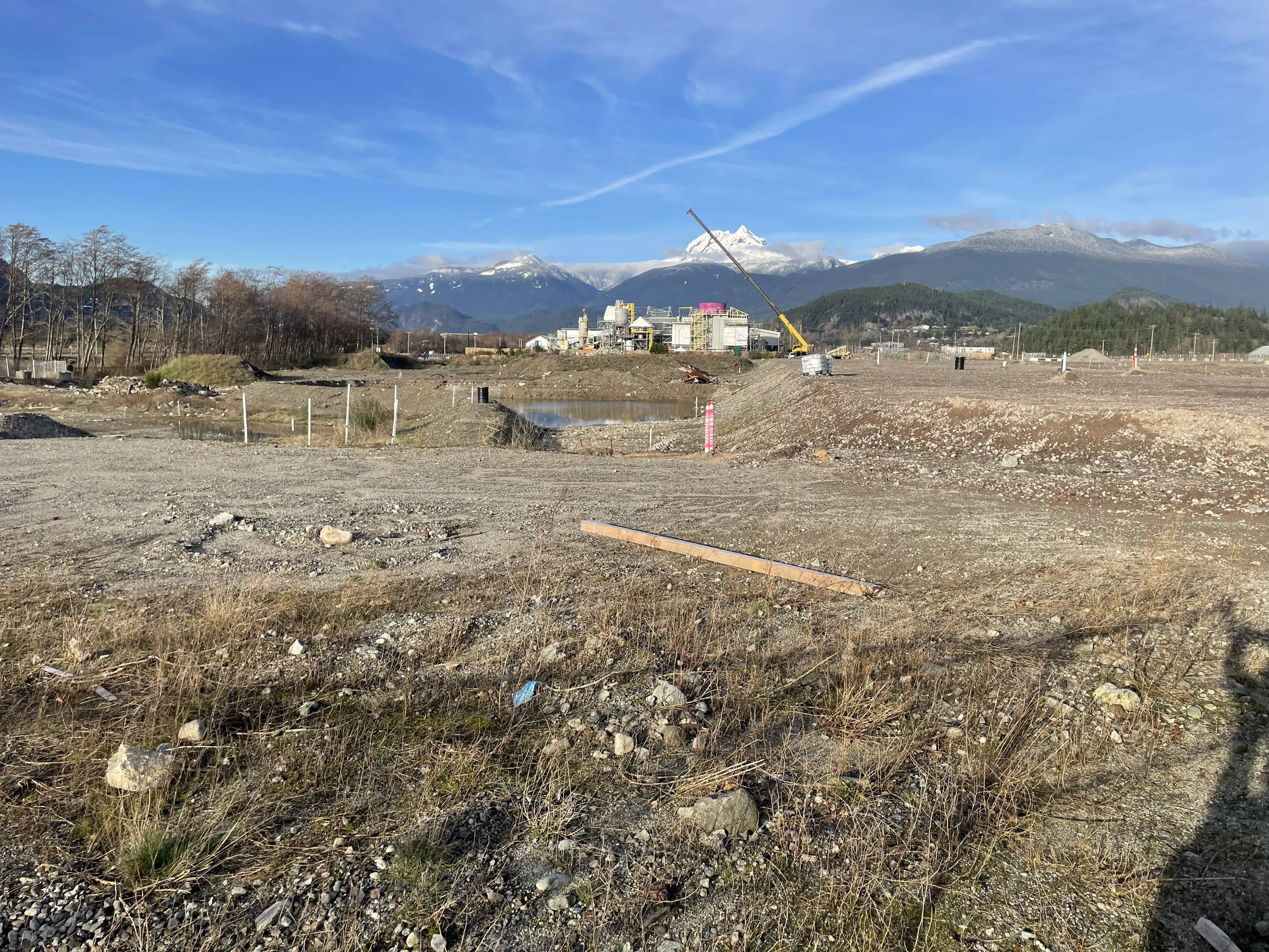
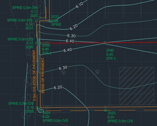
Upon arriving at the site in Lillooet, our survey crews capture the 3D topography utilizing our suite of Total Stations, GNSS, and LiDAR instruments. The density of the required points and the ruggedness of the terrain directly impact the scope of the field work and the time required to complete the survey. Our crews focus on capturing highly accurate "breaklines" to represent distinct terrain breaks (like the top of a bank or the toe of a slope), which prevents improper surface triangulation and ensures the TIN model accurately represents the physical ground.
Plan Preparation
Back in the office, our geomatics professionals translate the dense 3D field data into precise surface models. We establish "base" surfaces, which represent the top of a native material prior to excavation, and "comparison" surfaces, which capture the excavated topography at specific billing intervals. By comparing the base surface against the comparison surface, our software computes the exact volume of material removed using a highly accurate surface-to-surface methodology. The BCLS reviews and certifies the resulting Earthwork Volume Reports and graphical Isopach maps, providing an impartial record to support accurate contractor payments and engineering analysis.
What professional documents and markers do you receive upon project completion?
Certified Earthwork Volume Reports
Authoritative spreadsheet reports detailing the exact cut and fill quantities, broken down by material types (e.g., stripping, rock, earth).
Isopach (Cut/Fill) Maps
Highly detailed graphical surface representations that visualize the depth of excavations and heights of fills using color-coded elevation banding.
Topographic 3D CAD Files
digital drafting files (DWG/XML) containing the Triangulated Irregular Network (TIN) surface models, breaklines, and site topography for integration by your engineers.
Point Clouds and Orthoimages
Dense 3D Terrestrial LiDAR scan data and high-resolution aerial drone imagery providing a complete, digital model of the excavation or stockpile site.
Frequently Asked Questions
Get answers to common questions about our land surveying services.
Local Resources for Lillooet
Where can you find official topographic and permit checklists for Lillooet?
Service Gallery
Field photos, survey plans, and technical captures from our projects.