Strata Plan Amendment Surveys in Gibsons
Professional Strata Plan Amendment Surveys in Gibsons, re-defining updated building layouts, strata lot boundary adjustments, or common property modifications to update registered strata plans.
As buildings and communities in Gibsons age and evolve, the spatial and legal needs of the property owners inevitably change. Whether you are a strata corporation redefining limited common property, or a developer subdividing existing strata lots, altering an existing strata development is a complex legal and administrative process.
The Strata Property Act provides several distinct mechanisms for amending a strata plan. These include designating or removing Limited Common Property (LCP) under Section 257, subdividing or consolidating strata lots under Section 259, making land held by the strata corporation into a new strata lot under Section 262, or adding a strata lot back into the common property under Section 263. While the legislation frequently refers to preparing a "subdivision, reference or explanatory plan" for these actions, the Land Title and Survey Authority of British Columbia (LTSA) administers these changes by requiring the BCLS to prepare specialized "amending sheets", which replaces the corresponding page of the original strata plan with a depiction of the amended portion of the development.
While altering LCP designations that are depicted on the original registered strata plan requires a unanimous vote and a formal plan amendment under Section 257, Sections 74 and 75 of the Strata Property Act offer a highly strategic and flexible alternative. Under Section 74, existing common property can be designated as LCP through a resolution passed by a 3/4 vote at an annual or special general meeting, provided it is accompanied by a precise sketch plan filed in the Land Title Office. Conversely, Section 75 allows for the removal of an LCP designation that was originally created under Section 74 via the same 3/4 voting threshold and sketch plan process.
Why Choose Tantalus Geomatics?
Our team combines local Gibsons expertise with state-of-the-art surveying technology. We deliver highly accurate, BCLS-certified plans that streamline your municipal permit approvals and protect your property investments.
Our Strata Plan Amendment Surveys Process in Gibsons
How do we ensure accuracy and efficiency in our land surveying projects?
Research:
The BCLS retrieves the original registered strata plan, the parent parcel records, and all registered documents from the Land Title and Survey Authority of British Columbia (LTSA). We determine the exact statutory requirements for your specific amendment, ensuring that your legal team and strata council are aware of the voting requirements necessary to legally authorize the change.
Field Work:
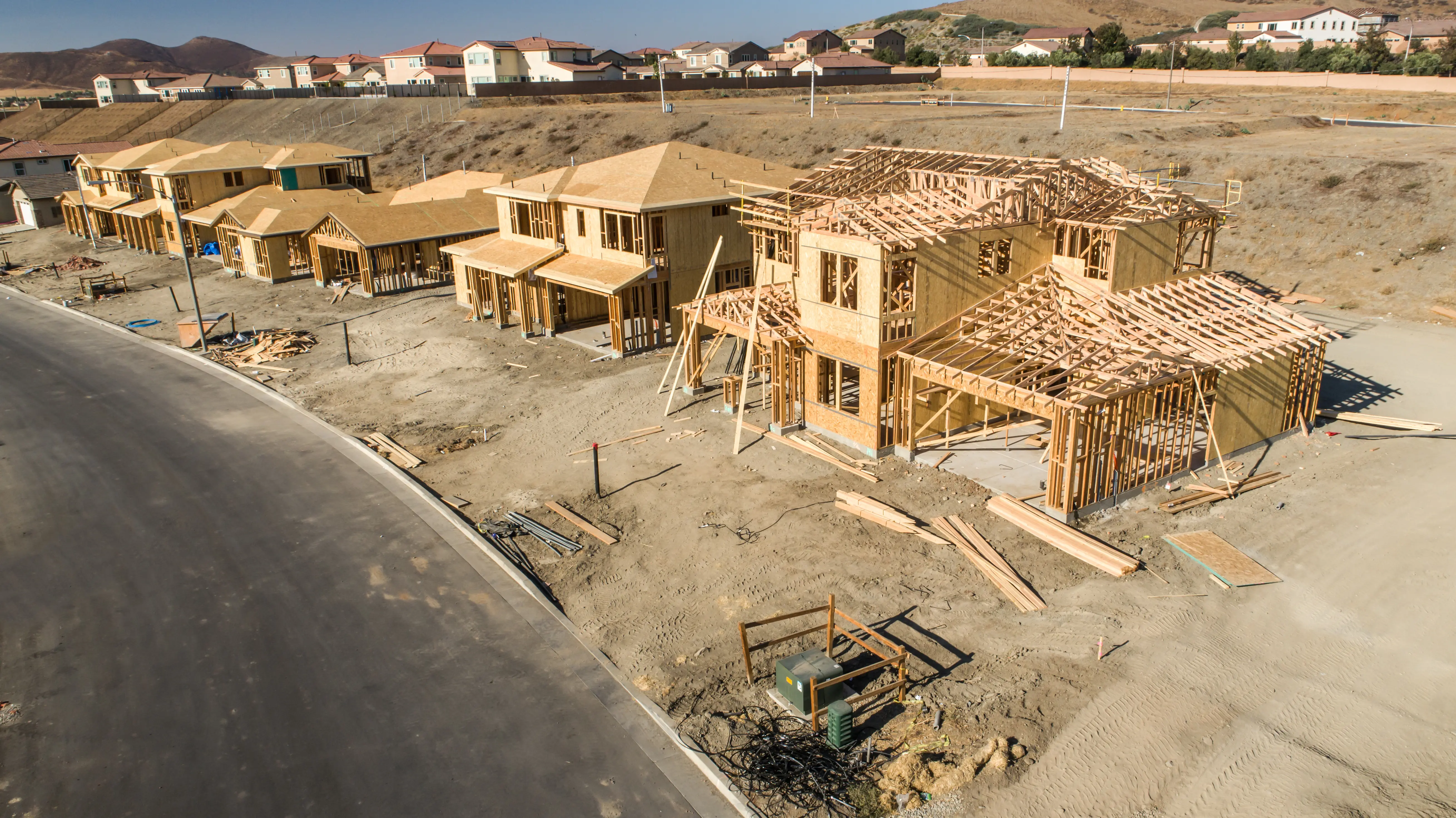
The scope of field work and the time required to complete the survey are heavily impacted by the nature of the amendment, and whether the amendment pertains to a building or bare land strata. The crew measures the physical walls, patios, or enclosures that form the new boundaries, ensuring the new dimensions accurately integrate with the undisturbed portions of the original strata plan.
Plan Preparation:
Our technologists translate the precise field data into the amended strata plan sheets, depicting all the information from the original sheet of the plan with the specific area of amendment highlighted by a bold outline. The BCLS reviews and certifies the plan, and coordinates with your legal counsel to update any necessary forms (e.g. Form V) and registere the amendment at the LTSA.
What professional documents and markers do you receive upon project completion?
Certified Legal Amending Sheets
Digitally certified Amended Sheets ready for registration at the Land Title Office.
Updated Strata Forms
Preparation and BCLS certification of an updated Schedule of Unit Entitlement (Form V) or Schedule of Voting Rights (Form W), legally required when an amendment alters the habitable area or voting distribution.
Topographic 3D CAD Files
digital drawing files (DWG/DXF) depicting the new layout of the amended strata lots or common property.
Point Clouds and Orthoimages
Dense 3D Terrestrial LiDAR scan data providing a complete, digital model of the newly renovated or altered spaces.
Frequently Asked Questions
Get answers to common questions about our land surveying services.
Local Resources for Gibsons
Where can you find official topographic and permit checklists for Gibsons?
Service Gallery
Field photos, survey plans, and technical captures from our projects.