Proposed Strata Plans in Furry Creek
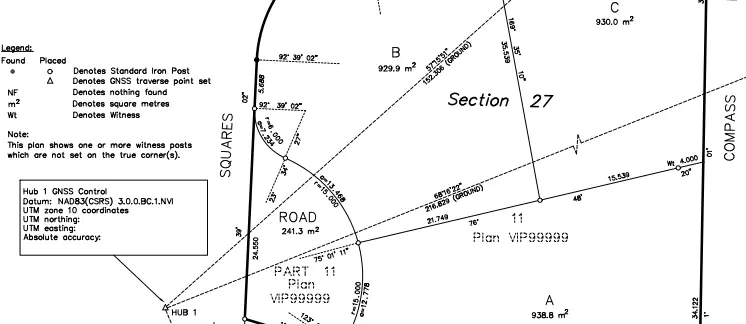
Professional Proposed Strata Plans in Furry Creek, preliminary strata lot boundaries and floor areas from architectural drawings to support pre-construction sales and disclosures.
When launching a multi-family or mixed-use development in Furry Creek, initiating pre-sales early in the development lifecycle is critical to securing your construction financing. To market and sell future strata lots before the building is completed, developers must file a Disclosure Statement with the Superintendent of Real Estate, which includes a Proposed Strata Plan depicting the proposed strata lots, limited common property (LCP), and preliminary unit entitlements. These plans are highly regulated under the Real Estate Development Marketing Act (REDMA) and carry immense financial weight as they allow developers to enter into binding contracts of purchase and sale prior to completion of construction.
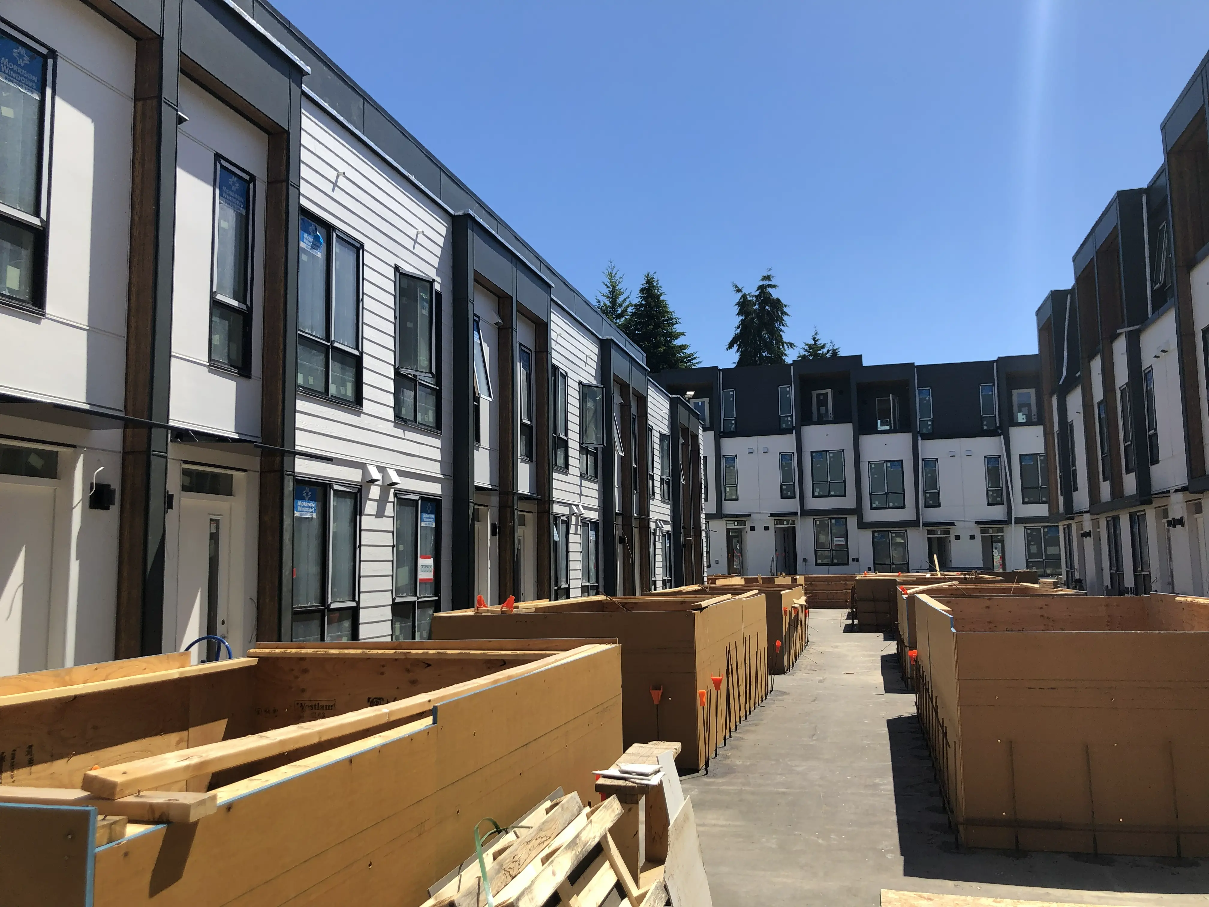
Under REDMA policies, if the final constructed area of a strata lot deviates significantly from the area represented in the Disclosure Statement it can be deemed a "material change", granting the purchaser the legal right to cancel their pre-sale agreement, posing a massive financial risk to the developer. Tantalus Geomatics Land Surveying helps clients mitigate this risk by carefully translating designs into the proposed of strata lot boundaries and accurately calculating habitable areas.
Why Choose Tantalus Geomatics?
Our team combines local Furry Creek expertise with state-of-the-art surveying technology. We deliver highly accurate, BCLS-certified plans that streamline your municipal permit approvals and protect your property investments.
Other Commercial Surveys
Our Proposed Strata Plans Process in Furry Creek
How do we ensure accuracy and efficiency in our land surveying projects?
Design Review
The BCLS retrieves and reviews the latest architectural plans to understand the proposed boundaries of the strata lots and common property facilities. We work closely with your legal counsel and development team to ensure the proposed plan matches the design intent, desired strata lot areas and limited common property allocations.
Plan Preparation and Certification
Our technologists translate the architectural design drawings into the Proposed Strata Plan. The BCLS carefully calculates the preliminary unit entitlements based on habitable area and numbers the strata lots exactly as they will appear on the final statutory plan, providing your legal team with the necessary drawings for the Disclosure Statement. Since these plans are often misinterpreted by the public as registered documents, we include mandatory disclaimers on every sheet stating, "This proposed strata plan is not the final plan which can be obtained from the Land Title Office upon filing".
What professional documents and markers do you receive upon project completion?
Certified PDF Plans
High-quality, letter-sized (8.5" x 11") PDF Proposed Strata Plans optimized for inclusion in the Disclosure Statement, clearly illustrating strata lot layouts, areas, and limited common property.
Unit Entitlement Calculations
Preliminary area calculations and unit entitlement estimates to support the preparation of proposed Form V for the Disclosure Statement.
CAD Files
Digital drawing files (DWG/DXF) depicting the proposed strata lot, common property and limited common property configurations and extents.
Frequently Asked Questions
Get answers to common questions about our land surveying services.
Local Resources for Furry Creek
Where can you find official topographic and permit checklists for Furry Creek?
Service Gallery
Field photos, survey plans, and technical captures from our projects.