Building Strata Surveys in City of North Vancouver
Professional Building Strata Surveys in City of North Vancouver, drafting precise legal definitions of individual strata lots, common property parameters, and limited common structures inside multi-unit packages.
Creating a building strata allows developers and property owners in City of North Vancouver to maximize the value and utility of their real estate by dividing a structure into individually owned strata lots while maintaining communal governance over shared spaces. Unlike a bare land strata, where boundaries are defined by posts driven into the ground, a building strata typically defines the boundaries of its strata lots by reference to the physical floors, walls, and ceilings of the structure. As dual-registered British Columbia Land Surveyors (BCLS) and Professional Engineers, our firm delivers the professional services, absolute statutory authority, and strategic guidance required to accurately define your multi-family, commercial, or mixed-use development.
The creation of a building strata is a highly regulated process governed by the Strata Property Act, the Strata Property Regulation, the Land Title Act, and the strict Survey and Plan Rules enforced by the Association of British Columbia Land Surveyors (ABCLS). Because creating new legal titles constitutes the "practice of land surveying" under the Land Surveyors Act, only a commissioned BCLS holds the exclusive statutory authority to determine, define, and certify the legal boundaries of a strata lot.
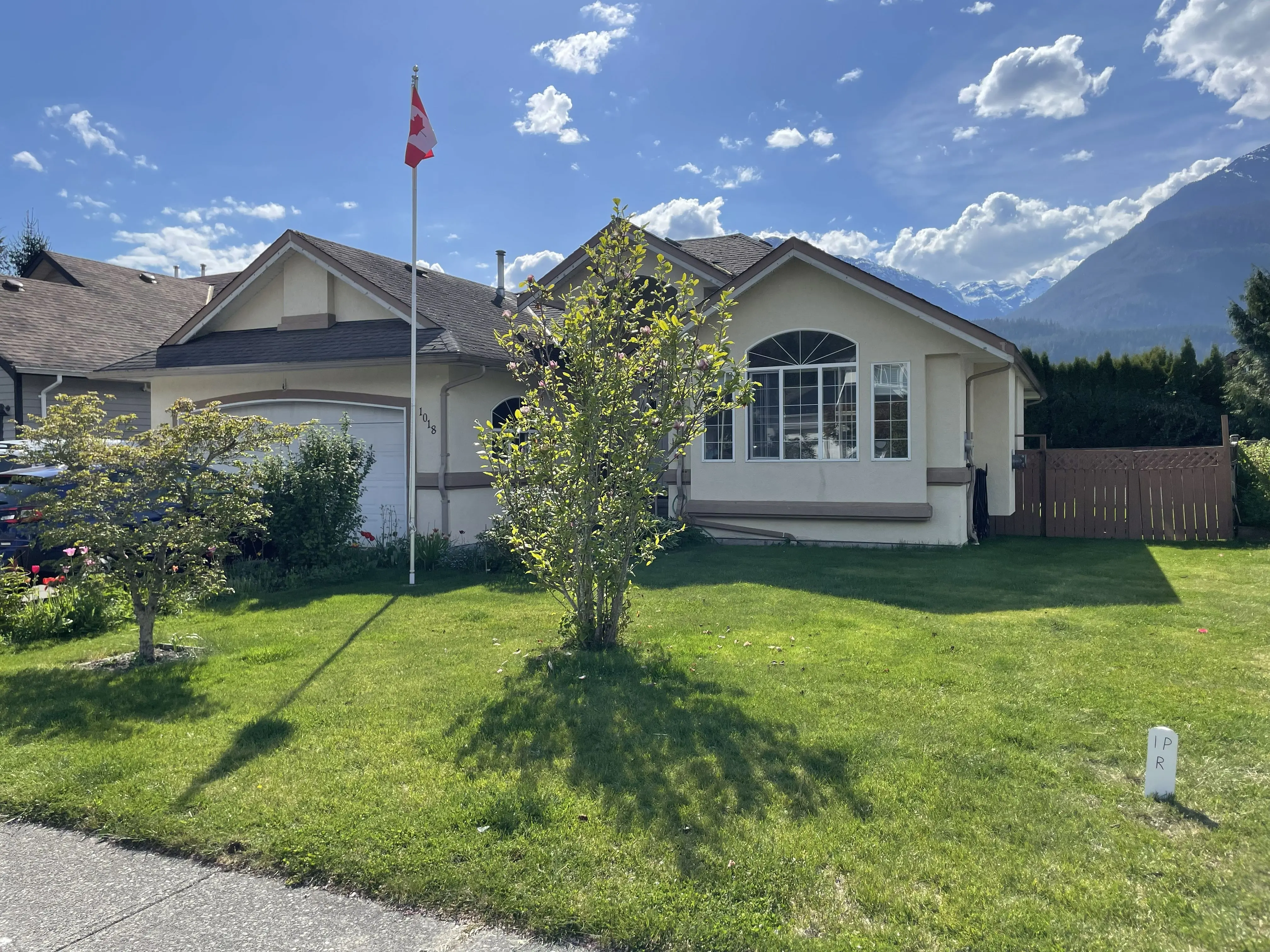
A critical element of our service is ensuring that the parent parcel is accurately defined before the strata is registered. Rule 7-2 of the Survey and Plan Rules mandates that prior to registration, the parent parcel must be fully monumented, any boundary discrepancies must be resolved, and natural boundaries must be established based on their present location under the Land Title Act. Furthermore, under Section 244(1)(f) of the Strata Property Act, we must rigorously assess the building perimeter to certify that all buildings are wholly within the external boundaries of the parent parcel, or that appropriate and necessary easements exist to cover any structural encroachments.
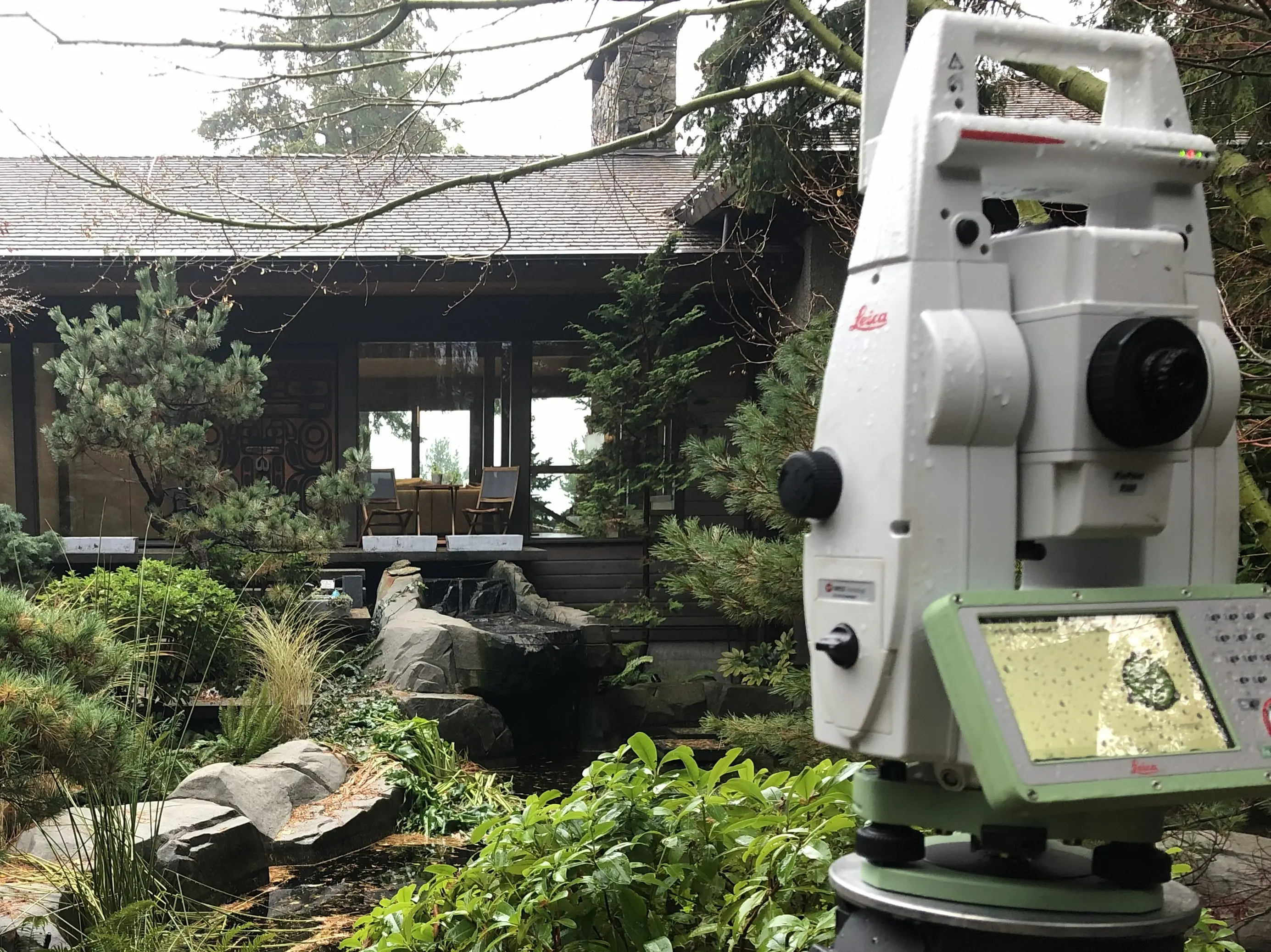
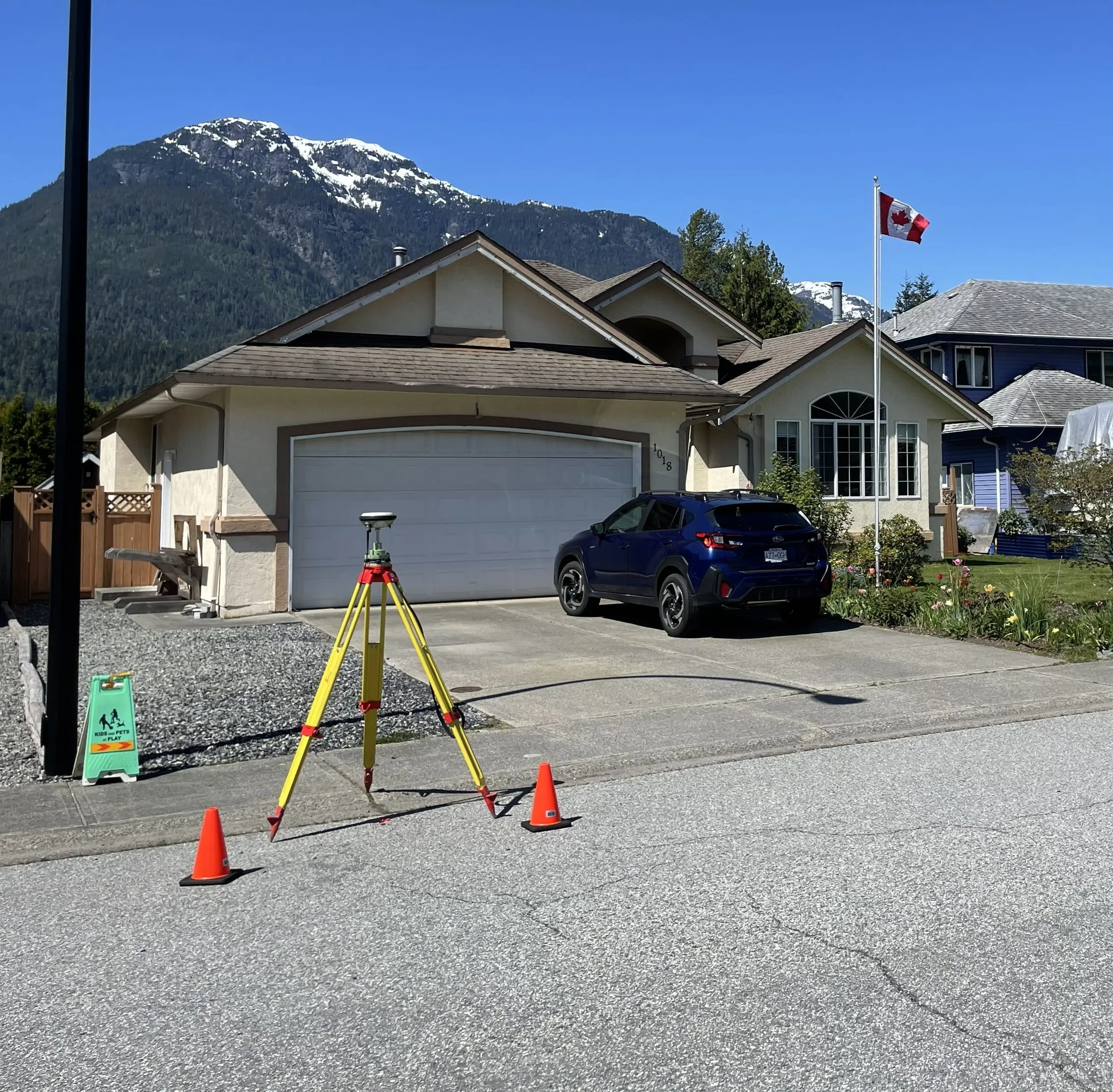
To achieve the absolute and relative accuracy standards mandated by the Surveyor General and the ABCLS, our field crews deploy an variety of surveying equipment. We establish a primary geodetic control network by occupying points for extended durations with Static GNSS and RTK GNSS Receivers to integrate your site into the official provincial datums. However, because building strata boundaries are internal and satellite signals are entirely obstructed indoors, our crews seamlessly transition to high-precision Robotic Total Stations and Terrestrial LiDAR (3D laser scanning) to capture high-density point clouds of the complex as-built conditions. For expansive building envelopes, we also leverage Aerial Drone LiDAR and Photogrammetry to ensure the exterior of the structure is captured accurately.
Why Choose Tantalus Geomatics?
Our team combines local City of North Vancouver expertise with state-of-the-art surveying technology. We deliver highly accurate, BCLS-certified plans that streamline your municipal permit approvals and protect your property investments.
Our Building Strata Surveys Process in City of North Vancouver
How do we ensure accuracy and efficiency in our land surveying projects?
Research
The foundation of a building strata plan is documentary research. The BC Land Surveyor gathers historical plans, active title records, and registered encumbrances from the Land Title and Survey Authority of British Columbia (LTSA). We carefully evaluate the parent parcel to guarantee it complies with Section 240 of the Strata Property Act, ensuring all underlying boundary discrepancies or natural boundary changes have been properly resolved. We also deeply analyze architectural design drawings, municipal zoning bylaws, and any developer disclosure statements to ensure your proposed strata layout accommodates legal constraints and accurately mirrors promises made to purchasers.
Field Work
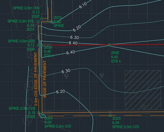
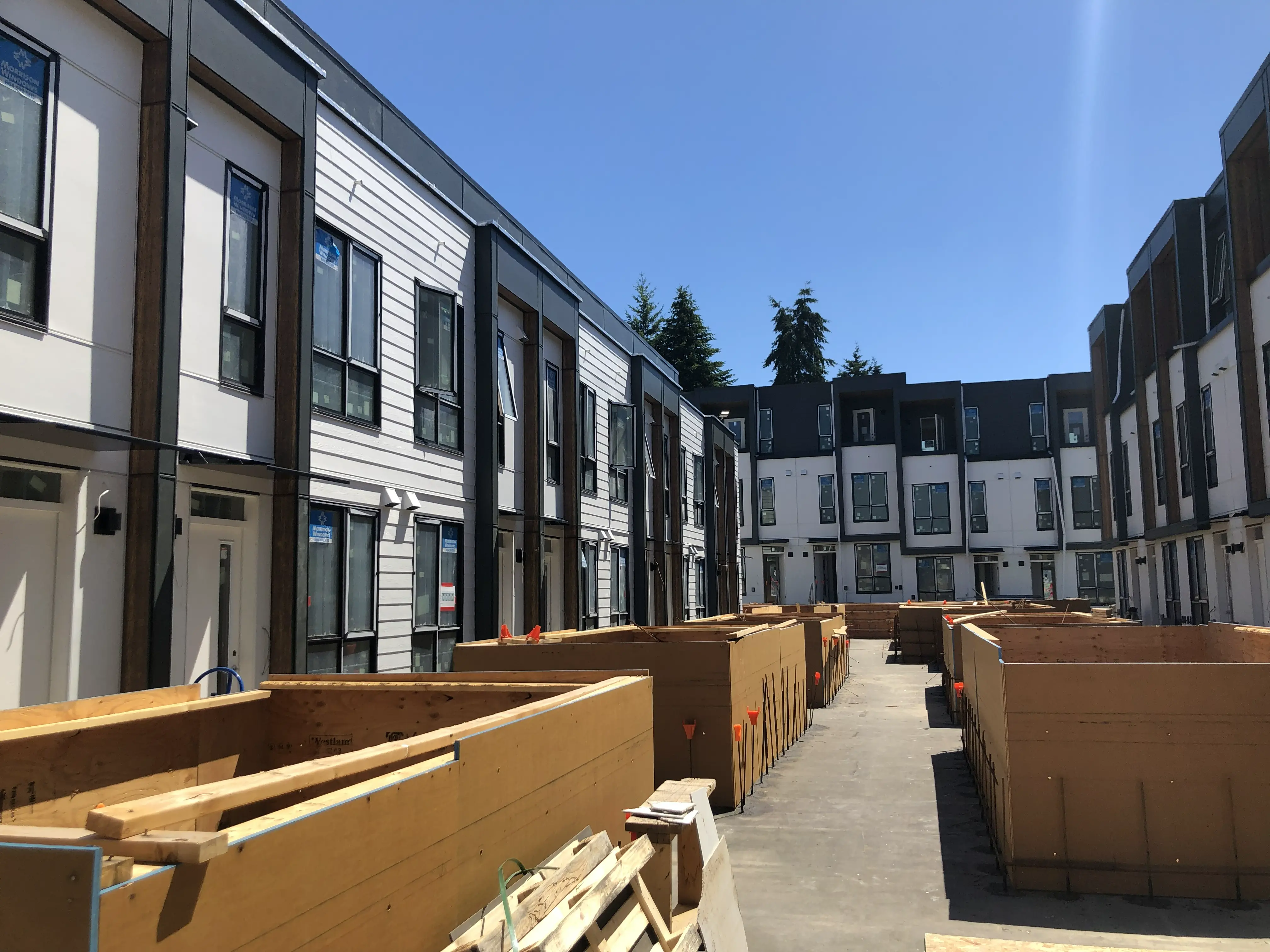
The scope of field work and the time required to complete the survey are heavily impacted by the architectural complexity of the building and the stage of construction. Utilizing Robotic Total Stations and Terrestrial LiDAR, our crews measure the exterior building perimeter and all interior boundaries of each strata lot, limited common property, and common property, as mandated by Rule 7-3. These state-of-the-art instruments allow us to navigate complex structural shear walls, cantilevered windows, and multi-level stairwells. The BCLS then legally determines the true boundaries in three dimensions, balancing minor construction discrepancies to establish spatial limits before the building is fully occupied.
Plan Preparation
With the precise 3D field data secured, our drafting experts prepare the formal Building Strata Plan in strict accordance with the ABCLS Survey and Plan Rules. The strata plan illustrates horizontal and vertical boundaries through detailed floor plans, cross-sections, and descriptive plan notations. As your certifying professional, the BCLS takes full statutory responsibility for the boundary resolution by electronically signing the Survey Plan Certification (SPC) using a secure digital certificate. We then assemble the complete package, including the Application to Deposit Plan containing all necessary signatures, and submit it directly to the LTSA, where the Registrar reviews and registers the plan and raises your new indefeasible strata titles.
What professional documents and markers do you receive upon project completion?
What professional documents and markers do you receive upon project completion?
Certified Legal Strata Plans
Digitally certified statutory PDF Building Strata Plans, including floor plans and mandatory cross-sections, ready for deposit in the Land Title Register to create your new indefeasible titles.
Schedules of Unit Entitlement and Voting Rights
Certified Form V and Form W documents legally required to establish proportional ownership, expense liabilities, and voting power (with Form V habitable areas calculated and certified by the BCLS).
Topographic 3D CAD Files
digital drafting files (DWG/DXF) extracting the layout of internal walls, building perimeters, and boundaries for spatial planning.
Point Clouds and Orthoimages
Dense 3D Terrestrial LiDAR scan data and high-resolution Aerial Drone imagery providing a complete, digital model of your building's as-built condition.
Frequently Asked Questions
Get answers to common questions about our land surveying services.
Local Resources for City of North Vancouver
Where can you find official topographic and permit checklists for City of North Vancouver?
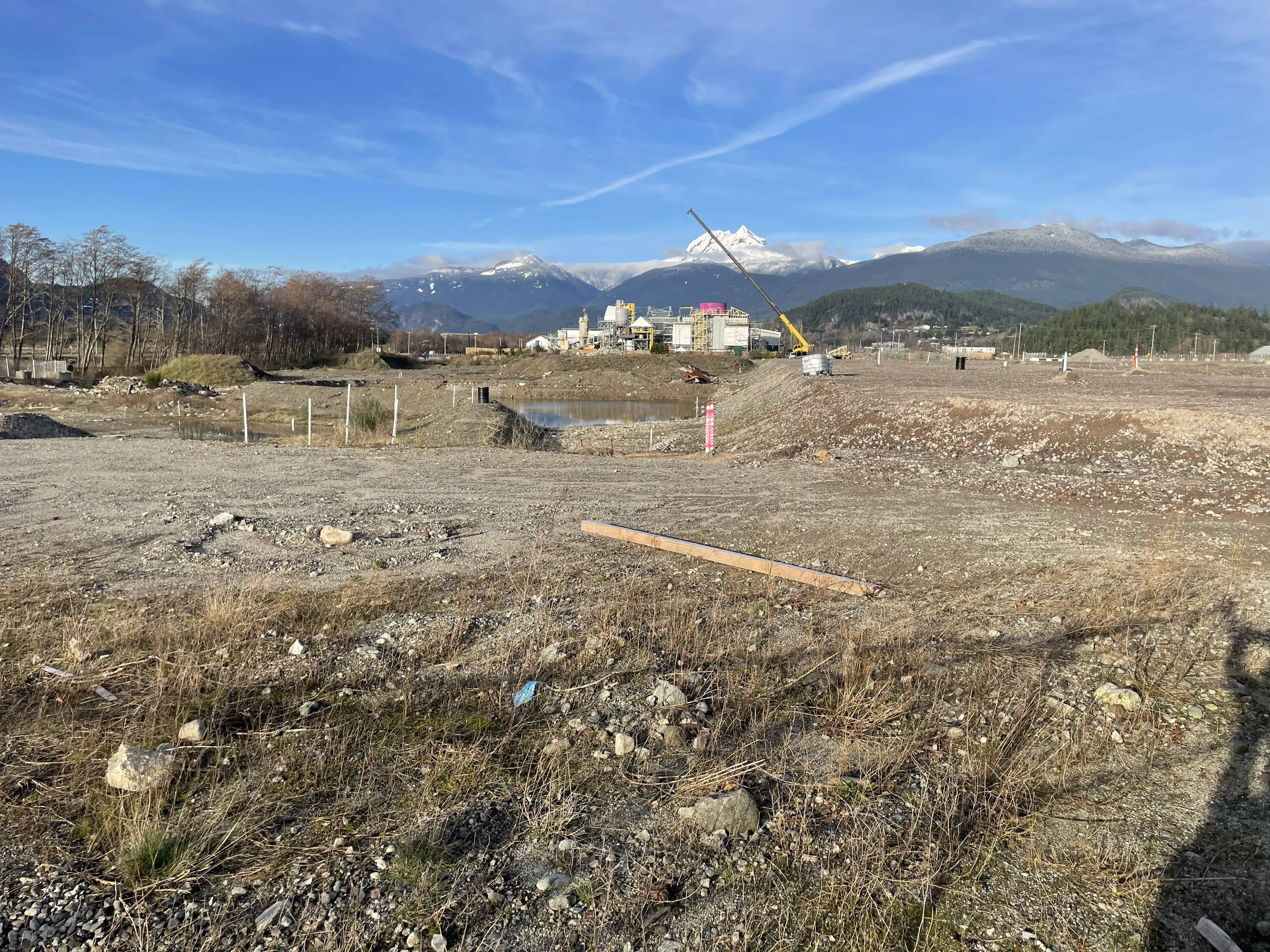
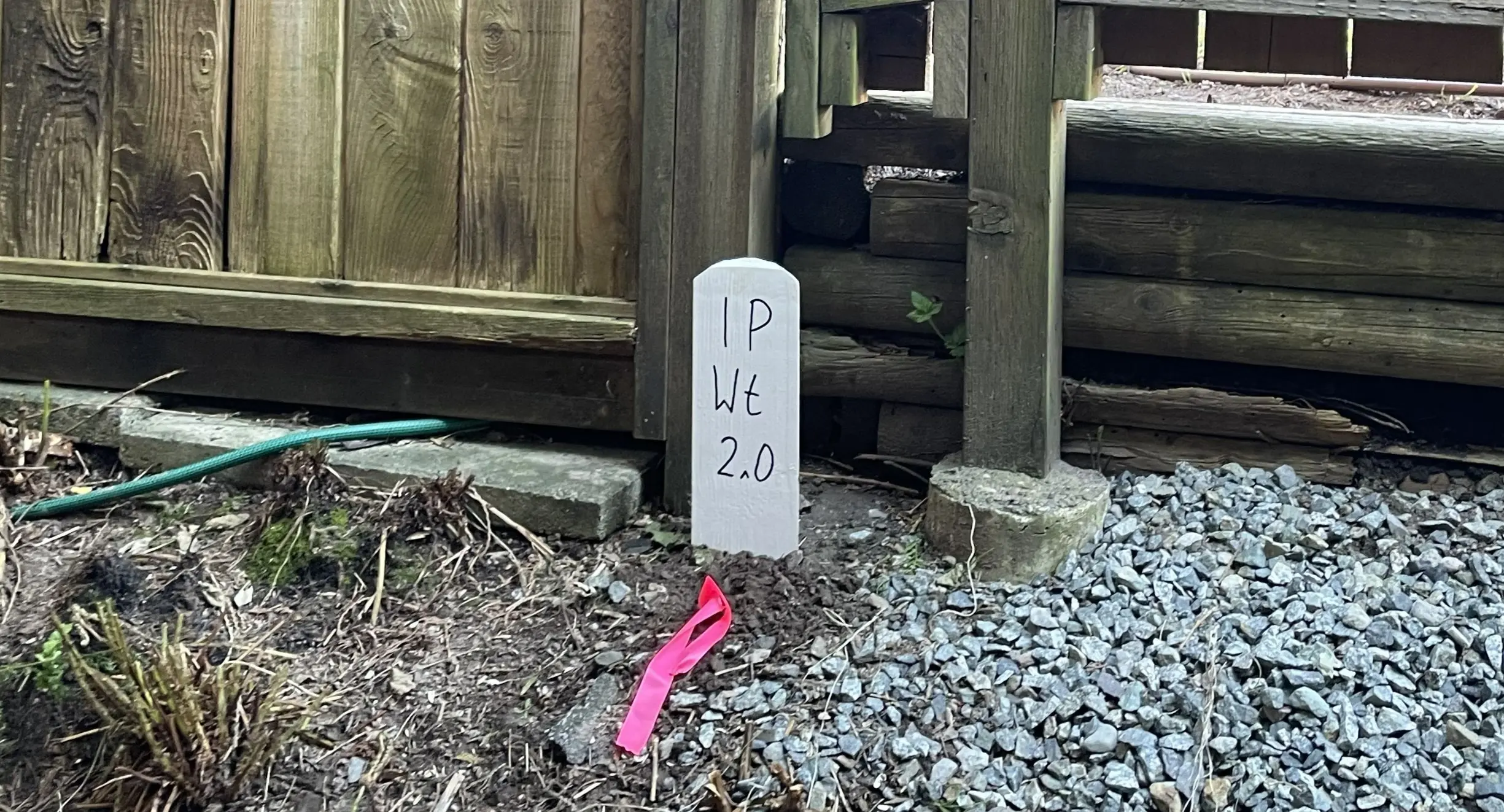
Service Gallery
Field photos, survey plans, and technical captures from our projects.